


- Breve descripción
-
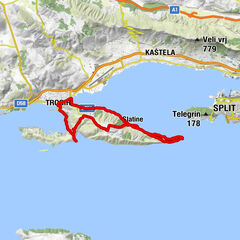
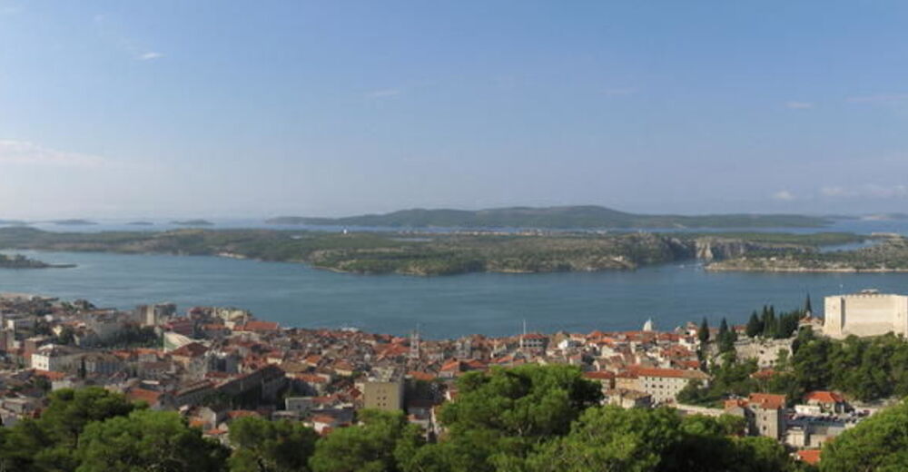
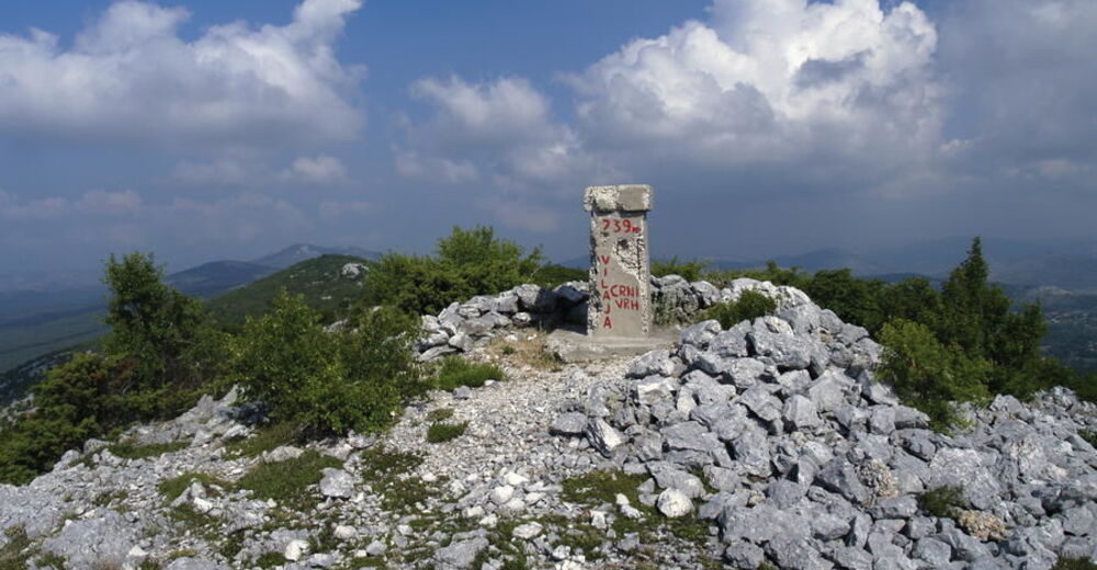
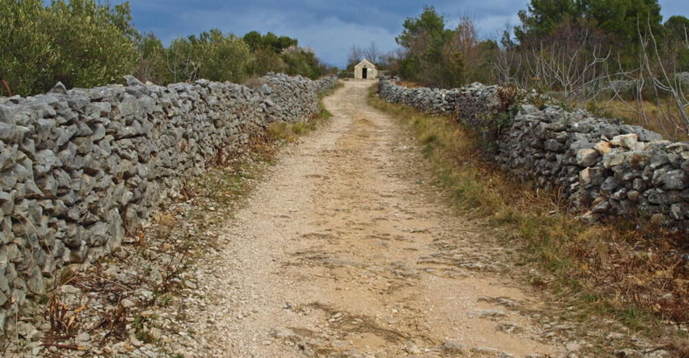
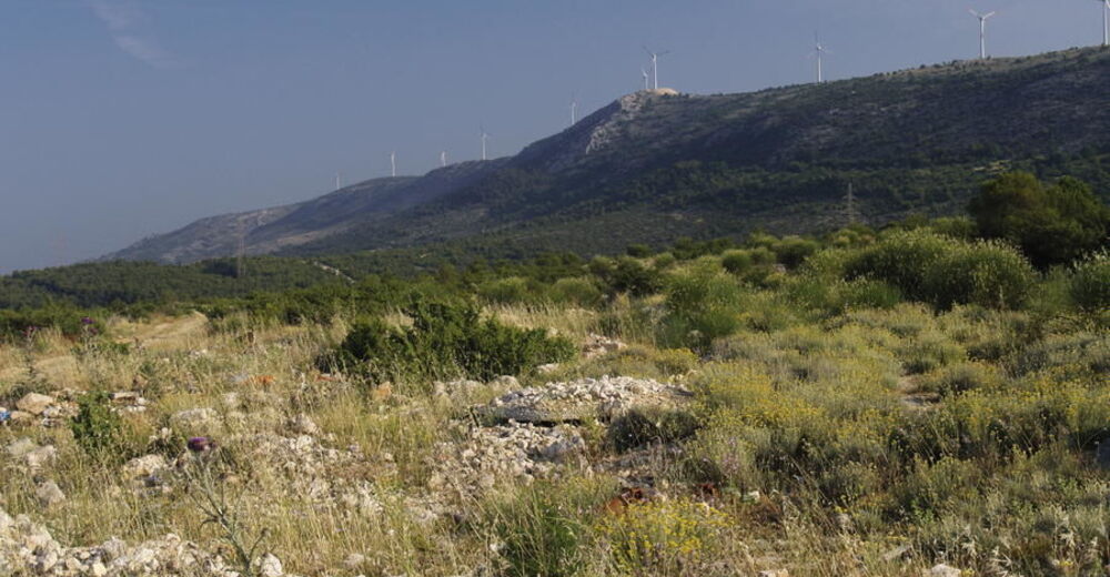
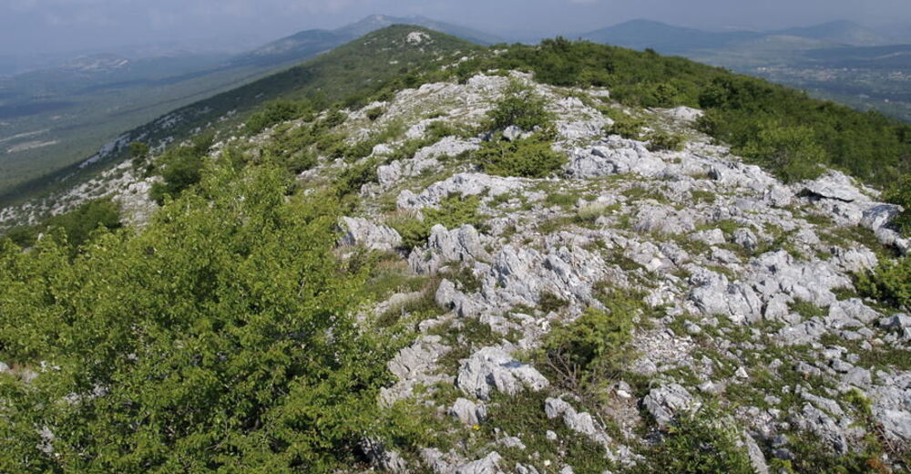
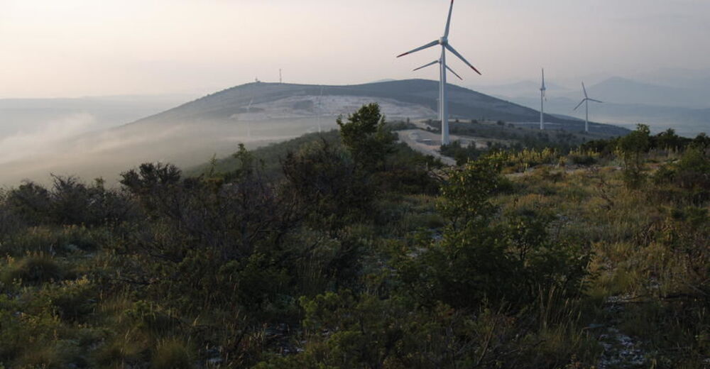
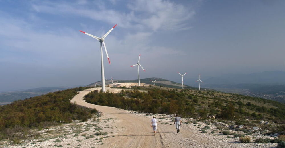
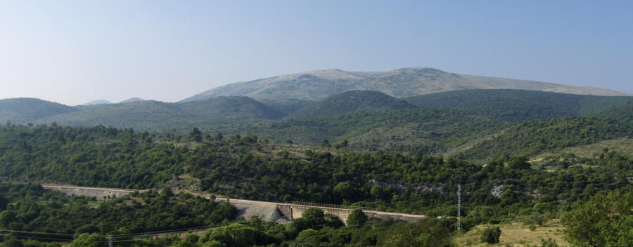
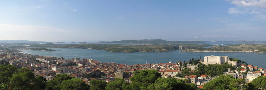
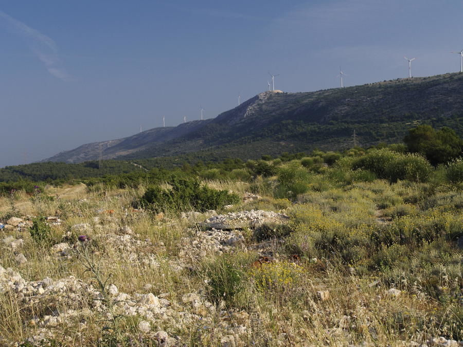
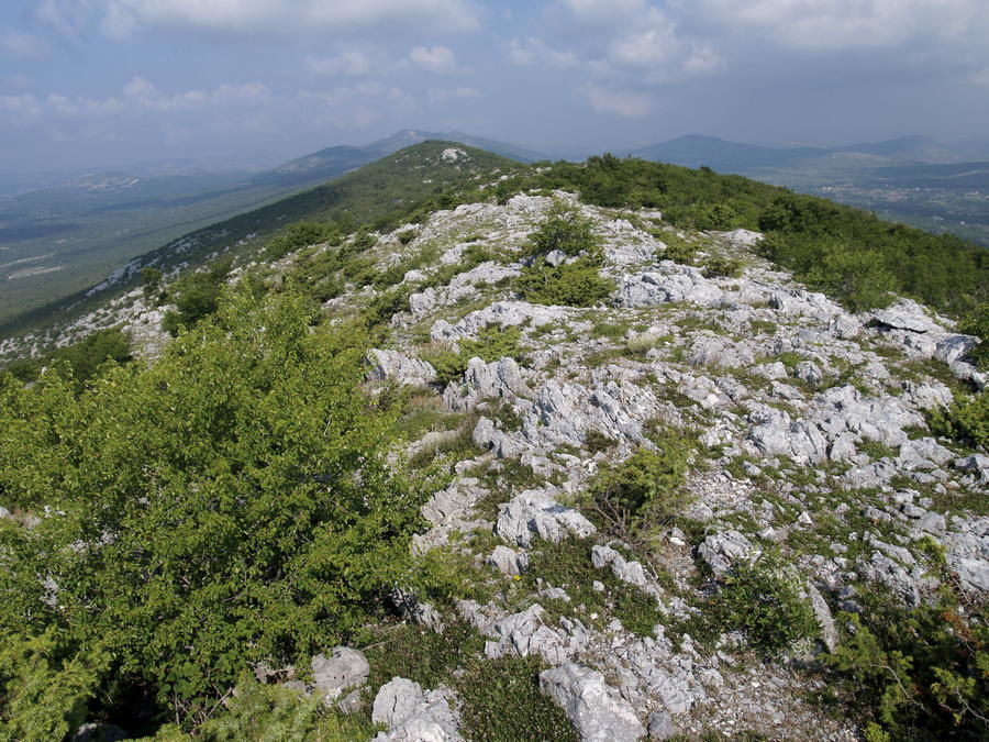
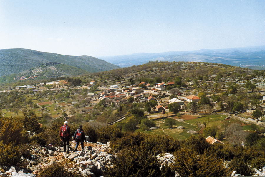
The coastal area between the cities of Šibenik and Split is gentle and mildly undulating, with peaks up to 700 meters above sea level. The relief of the area includes several series of elevations parallel to the sea coast. One such elevation can be found in the area Orlice – Boraja – Vilaja. The other elevation, northeast of the locality of Dubravsko-biranjsko udubljenje, is the hill of Trtar. An interesting relief phenomenon is also the nearby canyon of the Krka River, cut deeply into an arid plateau and representing a genuine karst oasis. With the exception of the Krka canyon, the entire Šibenik area is characterized by scarce, typically Mediterranean vegetation. Hills are predominantly covered in macchia and offer wonderful views.
- Dificultad
-
medio
- Valoración
-
- Ruta
-
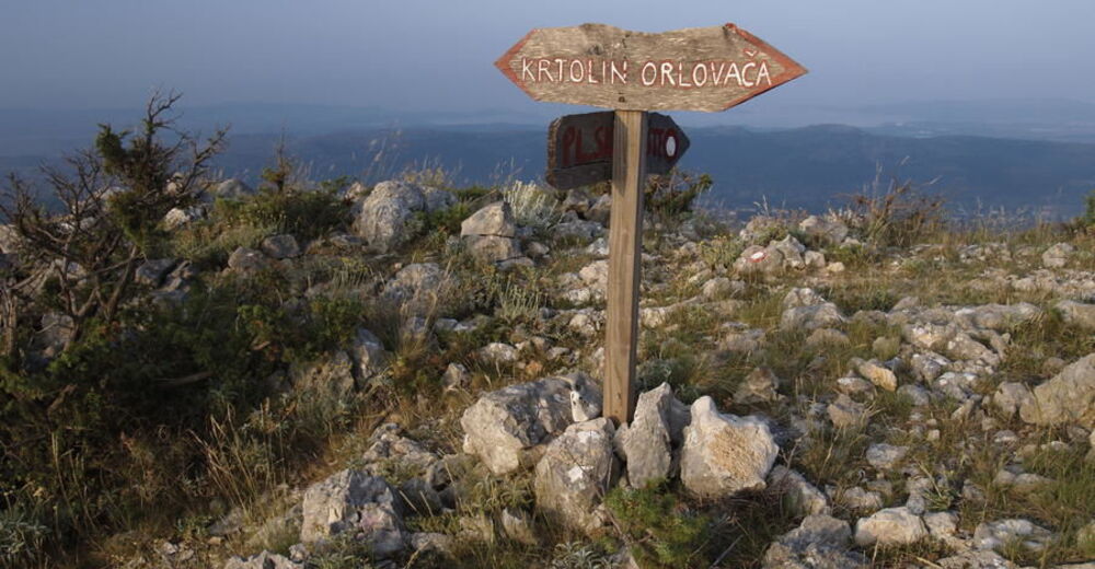
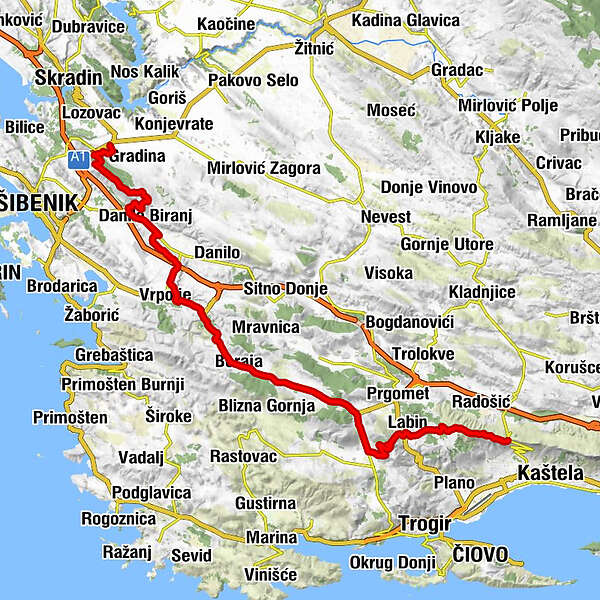
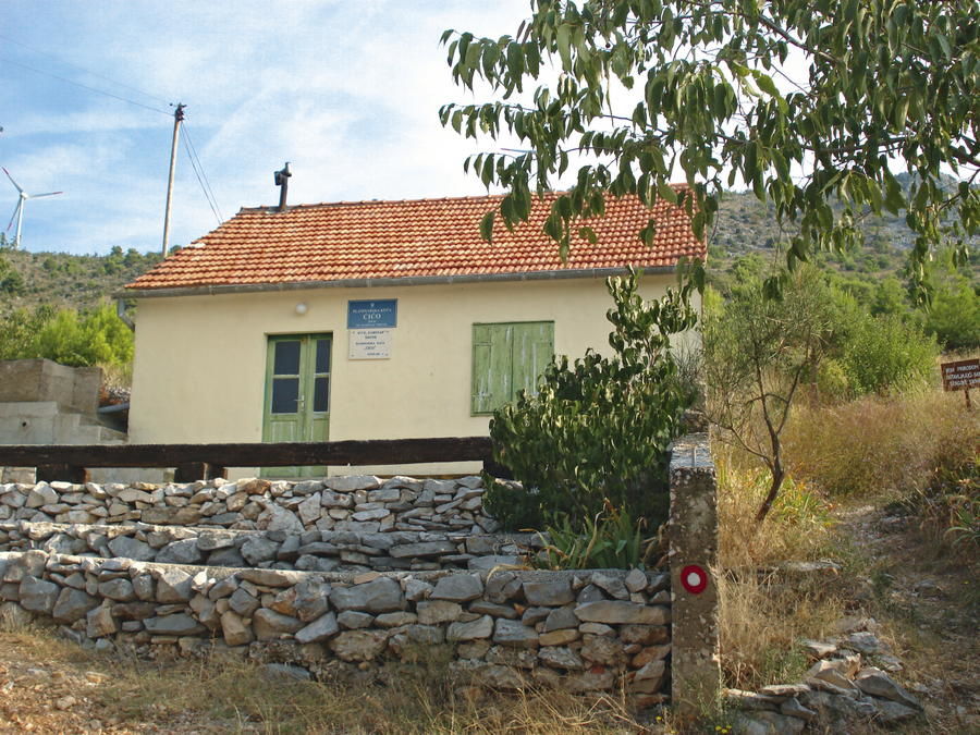
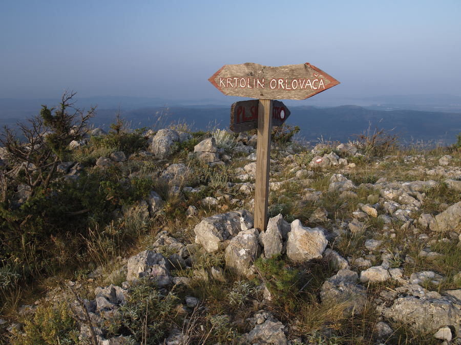
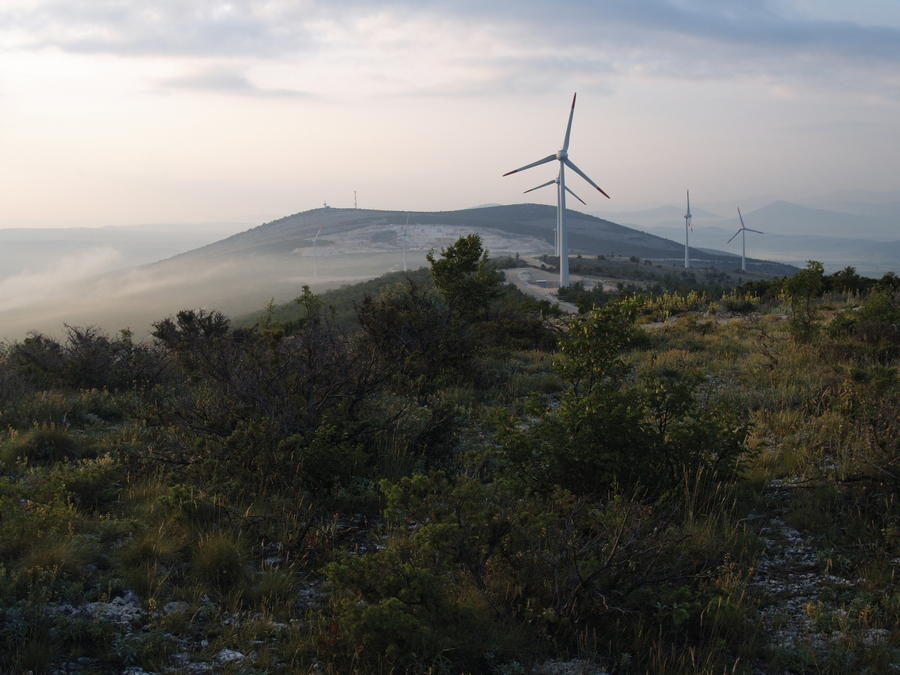
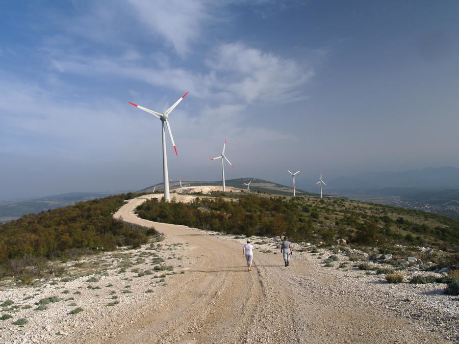
Čogelji0,2 kmOrlovača (494 m)5,8 kmKrtolin (503 m)8,7 kmRončevići10,3 kmBušci11,6 kmRončevići13,1 kmDanilo Biranj13,4 kmMalenčići13,5 kmPolinica (220 m)17,7 kmPlenčići21,3 kmDabar22,7 kmPetkovići23,1 kmPodine26,6 kmVrcići26,7 kmIličići27,1 kmČuklini28,8 kmGostionica Boraja29,1 kmTomislav29,1 kmBurazeri29,3 kmBoraja29,5 kmKneževići29,9 kmLjubitovica35,1 kmPrapatnica39,1 kmKovačevići39,7 kmGostionica Zagora39,7 kmDonji Strižići40,5 kmTomasi42,6 kmLabinštica (701 m)46,3 kmKurjaci47,1 kmGiljanovići47,5 kmDlake47,9 kmLabin48,7 kmZovići49,9 kmDonji Botići52,3 kmGornji Botići52,8 kmCrni krug (647 m)54,5 kmUljani umac (522 m)57,0 kmOrljak (526 m)57,2 kmPlaninarski dom "Malačka"57,8 kmChapel of the Blessed Aloysius Cardinal Stepinac57,9 kmMalačka (477 m)57,9 km
- La mejor temporada
-
enefebmarabrmayjunjulagosepoctnovdic
- Punto álgido
- 686 m
- Punto final
-
Malačka
- Perfil alto
-
 © outdooractive.com


-

-
AutorLa gira Via Dinarica HR-B-14 Central Dalmatia es utilizado por outdooractive.com proporcionado.


-
Insel Krapanj
15
-
Grebaštica
4