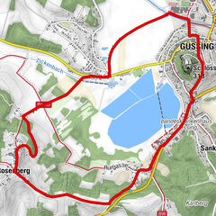
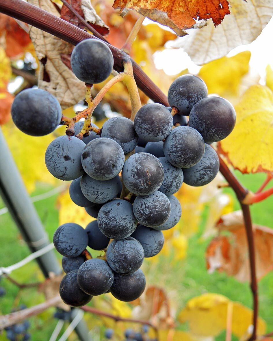
Wandern in der Weinidylle: Rundweg St.Kathrein

Senderismo

© Walter Laschober

© RMB - Walter Laschober

© Walter Laschober

- Dificultad
-
fácil
- Valoración
-
- Ruta
-
Sankt Kathrein im Burgenland0,0 km
- La mejor temporada
-
enefebmarabrmayjunjulagosepoctnovdic
- Punto álgido
- 292 m
- Punto final
-
Feuerwehrhaus St.Kathrein
- Perfil alto
-


- Autor
-
La gira Wandern in der Weinidylle: Rundweg St.Kathrein es utilizado por outdooractive.com proporcionado.
GPS Downloads


Información general
Punto de avituallamiento
Vistas panorámicas
Más circuitos por las regiones