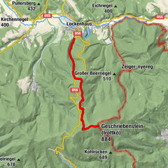
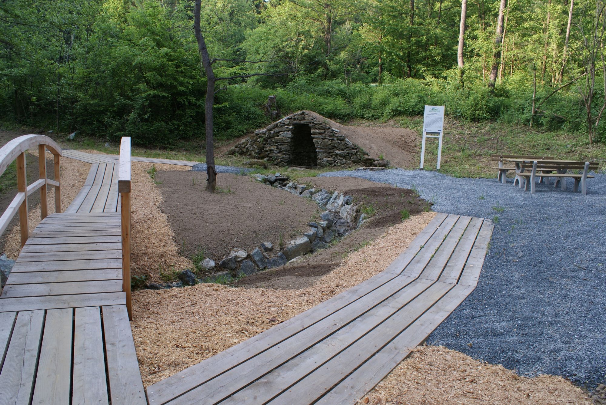
Königsbrunnenweg - Glashütten bei Schlaining

Senderismo

© Naturpark Geschriebenstein - Verein Unterkohlstätten - Burgenländische Naturparke

© Naturpark Geschriebenstein - Verein Unterkohlstätten - Burgenländische Naturparke

© Naturpark Geschriebenstein - Verein Unterkohlstätten - Burgenländische Naturparke

© Naturpark Geschriebenstein - Verein Unterkohlstätten - Burgenländische Naturparke

© Naturpark Geschriebenstein - Verein Unterkohlstätten - Burgenländische Naturparke

- Dificultad
-
medio
- Valoración
-
- Ruta
-
Glashütten bei Schlaining0,1 kmKönigsbrunnen2,5 kmGlashütten bei Schlaining7,2 km
- La mejor temporada
-
enefebmarabrmayjunjulagosepoctnovdic
- Punto álgido
- 635 m
- Punto final
-
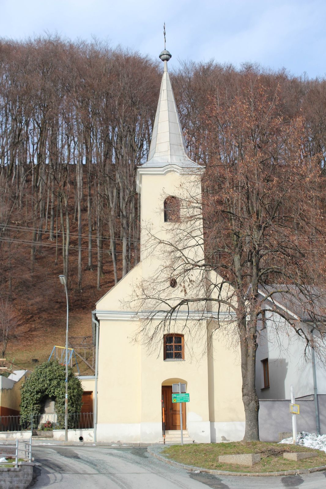
Glashütten bei Schlaining, Kirchenplatz
- Perfil alto
-


- Autor
-
La gira Königsbrunnenweg - Glashütten bei Schlaining es utilizado por outdooractive.com proporcionado.
GPS Downloads


Información general
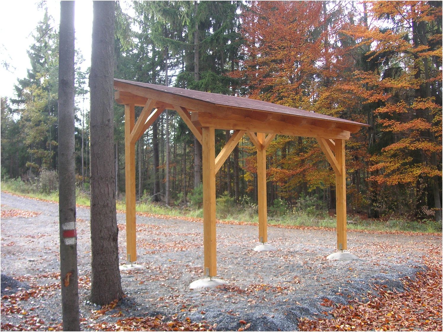
Punto de avituallamiento
Cultural/Histórico
Secreto
Vistas panorámicas
Más circuitos por las regiones
-
Wiener Alpen
3035
-
Bucklige Welt - Wiener Alpen
793
-
Unterkohlstätten
184