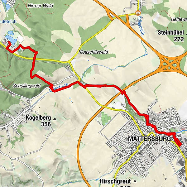
Datos del tour
15,61km
235
- 304m
137hm
130hm
04:13h
- Dificultad
-
medio
- Valoración
-
- Punto de salida
-
Bahnhof Mattersburg
- Ruta
-
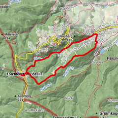
Mattersburg (243 m)DJ's american Diner0,1 kmPizzeria Taverna0,8 kmMattersburg (238 m)0,9 kmPizzeria Taverna14,5 kmMattersburg (238 m)14,5 kmMattersburg (243 m)15,4 km
- La mejor temporada
-
enefebmarabrmayjunjulagosepoctnovdic
- Punto álgido
- 304 m
- Punto final
-
Bahnhof Mattersburg
- Descanso/Avituallamiento
-
www.mattersburg.gv.at/wirtschaft/gast...
Hotel-Florianihof
Wr. Str. 1, 7210 Mattersburg
hotel-florianihof.at
02626 62106 - Material cartográfico
-
BEV-Karte 5208-West, Mattersburg 1:25.000
oder
BEV-Karte 5208, Mattersburg 1:50.000
GPS Downloads

Más circuitos por las regiones
-
Wiener Alpen
3048
-
Sonnenland Mittelburgenland
460
-
Mattersburg
245