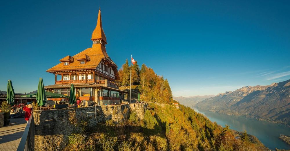
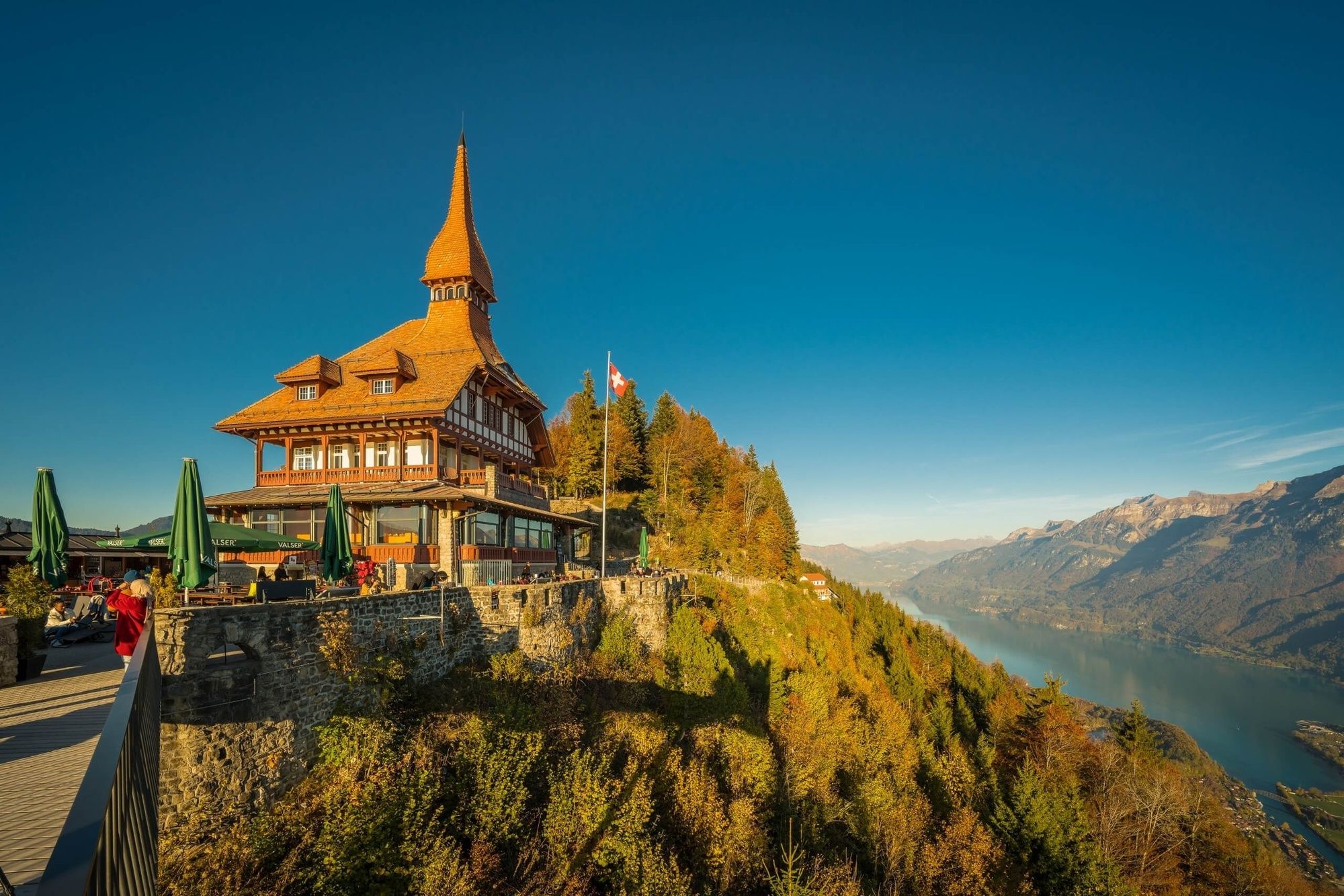
Wanderung auf Interlakens Hausberg Harder Kulm

Senderismo


- Breve descripción
-
Wanderung durch dichten Wald mit anschliessender grandioser Aussicht auf Interlaken, die Seen und die Berge. Der Aufstieg lohnt sich hier immer.
- Dificultad
-
medio
- Valoración
-
- Ruta
-
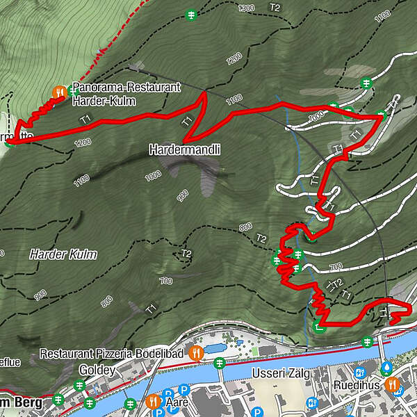
Hohbühl0,4 kmInterlaken (568 m)0,4 kmHardermandli2,4 kmHardermatte3,4 kmZwei-Seen-Steg3,7 kmHarderkulm3,7 kmPanorama-Restaurant Harder-Kulm3,7 km
- La mejor temporada
-
enefebmarabrmayjunjulagosepoctnovdic
- Punto álgido
- 1.310 m
- Perfil alto
-
 © outdooractive.com

- Autor
-
La gira Wanderung auf Interlakens Hausberg Harder Kulm es utilizado por outdooractive.com proporcionado.
GPS Downloads


Información general
Punto de avituallamiento
Vistas panorámicas
Más circuitos por las regiones
-
Aletsch Arena
1475
-
Interlaken
1102
-
Interlaken - Matten - Unterseen
459


