Gasterntal valley – Along the raging waters

Senderismo


- Breve descripción
-
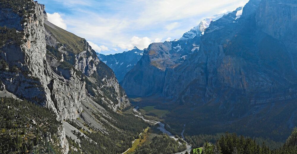
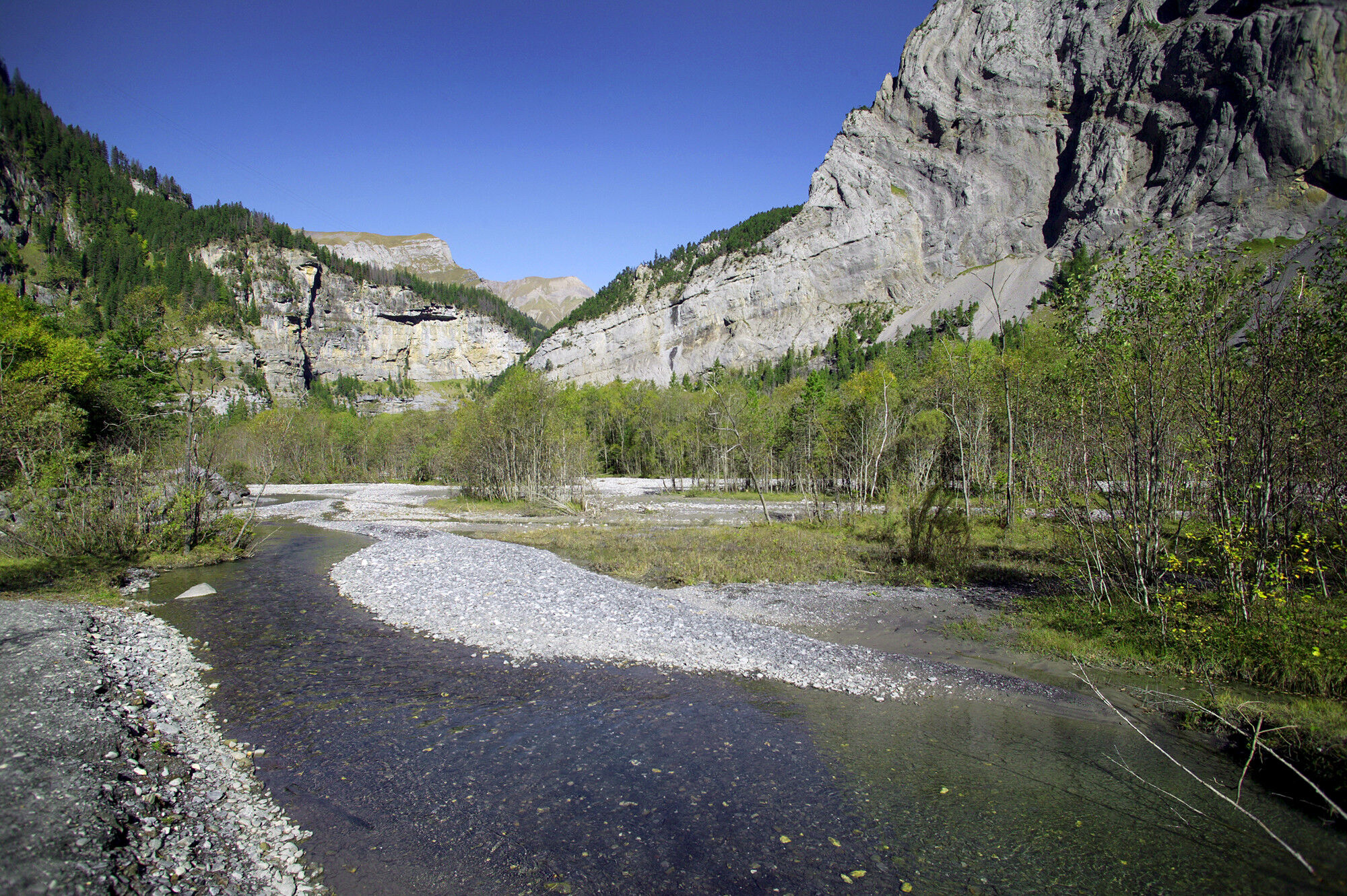
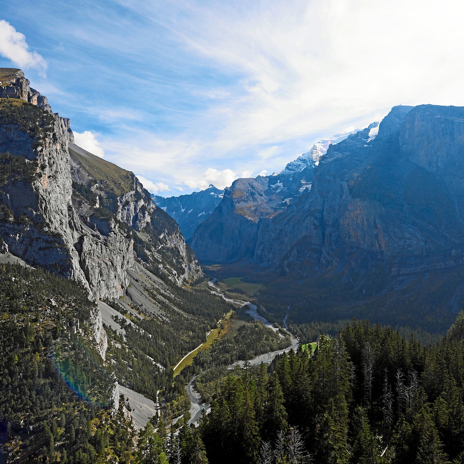
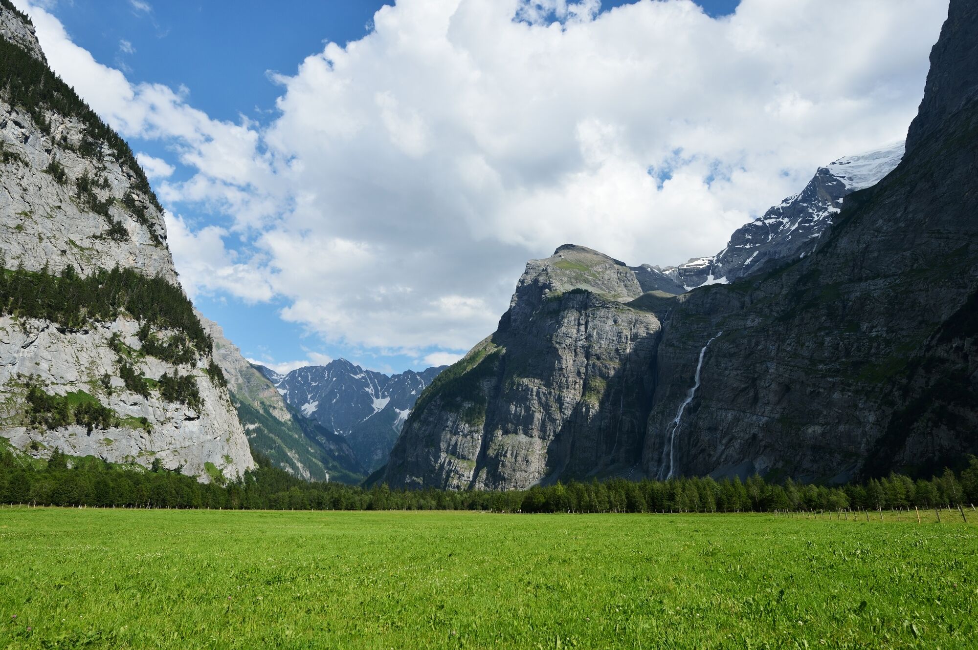
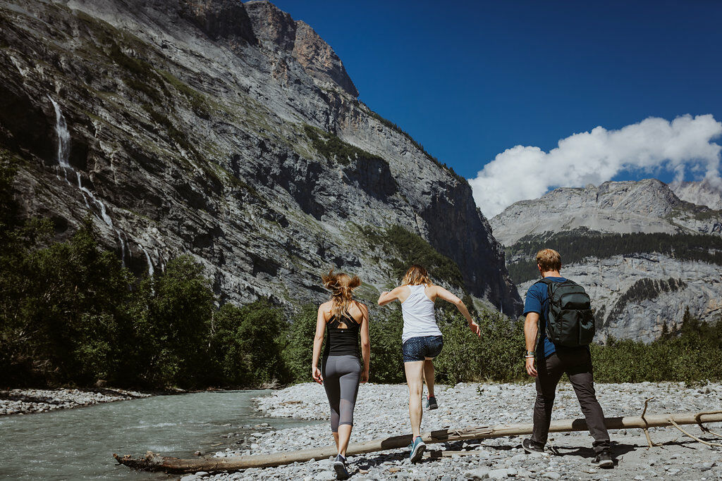
The Gasterntal valley above Kandersteg is a high valley of outstanding natural and scenic beauty. The hike along the Kander is also suitable for families with children. Unsurfaced track throughout.
- Dificultad
-
medio
- Valoración
-
- Ruta
-
Waldhaus (1.358 m)8,3 km
- La mejor temporada
-
enefebmarabrmayjunjulagosepoctnovdic
- Punto álgido
- 1.633 m
- Punto final
-
Gasterntal, Neubrücke/Waldhaus
- Perfil alto
-
 © outdooractive.com
-

-
AutorLa gira Gasterntal valley – Along the raging waters es utilizado por outdooractive.com proporcionado.
GPS Downloads


Información general
Punto de avituallamiento
Flora
Fauna
Más circuitos por las regiones
-
Oberwallis
1877
-
Ferienregion Kandertal
1102
-
Oeschinen - Kandersteg
253


