© Grindelwald Tourismus - David Birri

© Grindelwald Tourismus - David Birri

© Grindelwald Tourismus - David Birri
- Breve descripción
-
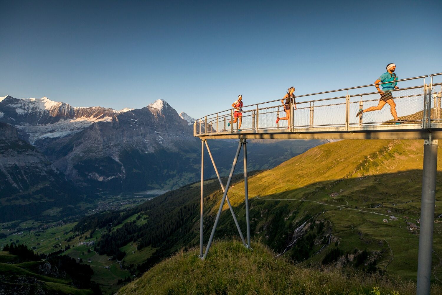
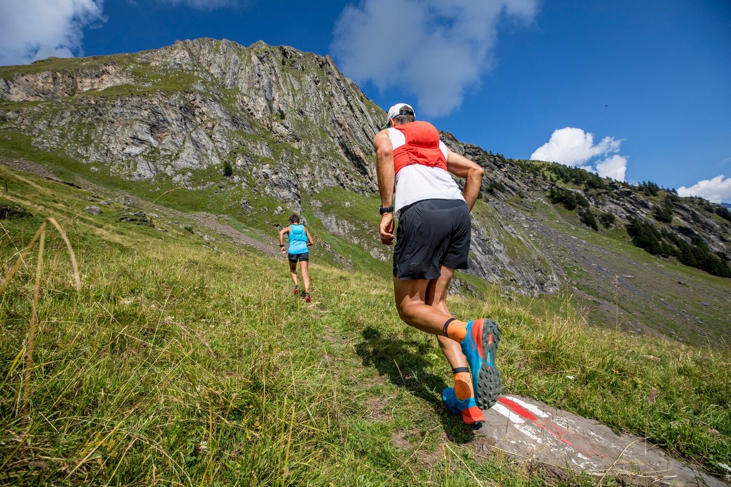
A trail rich in adventure with impressive panoramic views, plenty of eateries and the option to return to the valley via the First cableway.
- Dificultad
-
medio
- Valoración
-
- Ruta
-
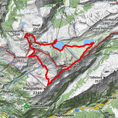
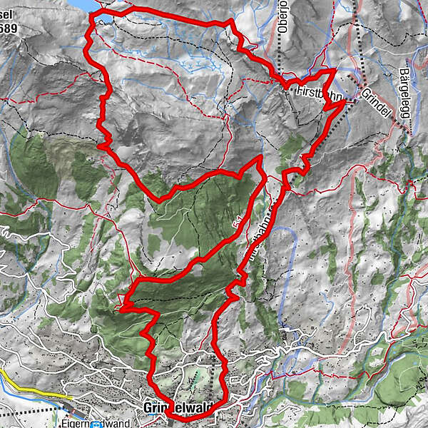
Grindelwald0,1 kmSwiss Alp Resort0,4 kmAellfluh2,1 kmNodhalten3,5 kmBerggasthaus Waldspitz6,1 kmHireleni9,6 kmFirst13,6 kmBerggasthaus First13,7 kmChuestall17,3 kmBergrestaurant Bort17,3 kmGrindelwald21,1 km
- La mejor temporada
-
enefebmarabrmayjunjulagosepoctnovdic
- Punto álgido
- 2.322 m
- Punto final
-
Grindelwald sports centre
- Perfil alto
-
 © outdooractive.com

- Autor
-
La gira Grindelwald Trail 21 es utilizado por outdooractive.com proporcionado.
GPS Downloads


Información general
Punto de avituallamiento
Vistas panorámicas
Más circuitos por las regiones
-
Obwalden
66
-
Jungfrau Region
54
-
Grindelwald - First
40