

© Eiger Ultra Trail
- Breve descripción
-
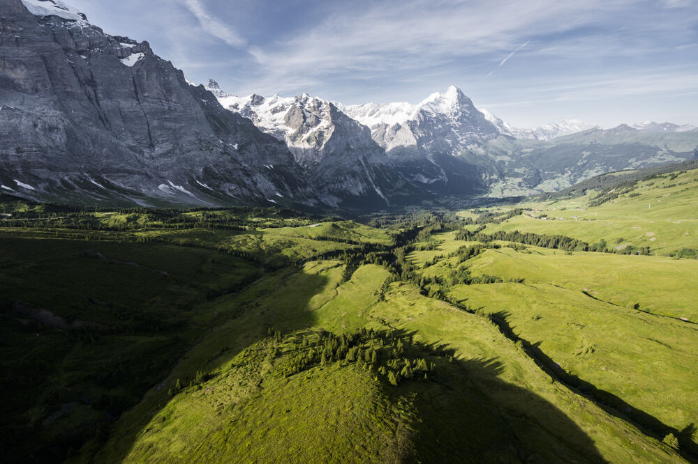
A lesser visited training route - a real insider’s tip!
- Dificultad
-
medio
- Valoración
-
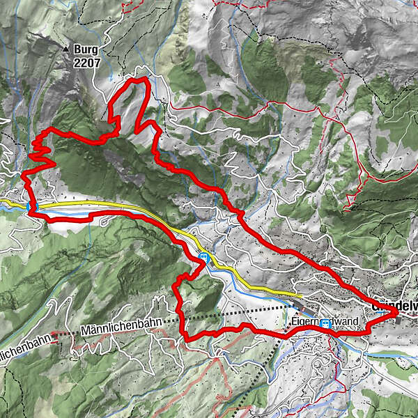
- Ruta
-
GrindelwaldRestaurant Grund1,1 kmSchwendi4,6 kmBurglauenen7,3 kmChrachenmad10,0 kmBergrestaurant Bussalp11,5 kmBussalp11,6 kmWagisbach15,2 kmTuftbach16,5 kmSwiss Alp Resort17,2 kmGrindelwald17,3 kmGrindelwald17,4 km
- La mejor temporada
-
enefebmarabrmayjunjulagosepoctnovdic
- Punto álgido
- 1.821 m
- Punto final
-
Grindelwald sports centre
- Perfil alto
-
 © outdooractive.com
- Autor
-
La gira Grindelwald Trail 14 es utilizado por outdooractive.com proporcionado.
GPS Downloads


Información general
Punto de avituallamiento
Secreto
Más circuitos por las regiones


