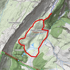
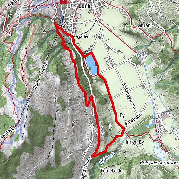
Bottom station Betelberg - Seefluh - Staldengässli - bottom station Betelberg (signposted)

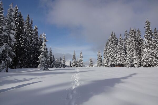
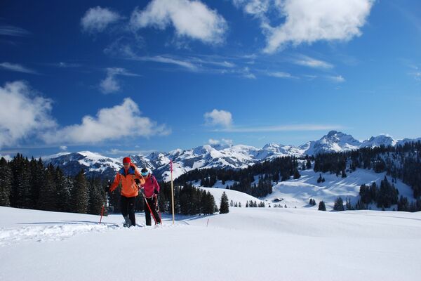
Raquetas de nieve
© Lenk-Simmental Tourismus AG - Lenk-Simmental Tourismus
- Breve descripción
-
Snowshoe tour near the village via Seefluh through Pöschenried to Lenkerseeli. This tour combines winter hiking and snowshoeing.
- Dificultad
-
medio
- Valoración
-
- Ruta
-
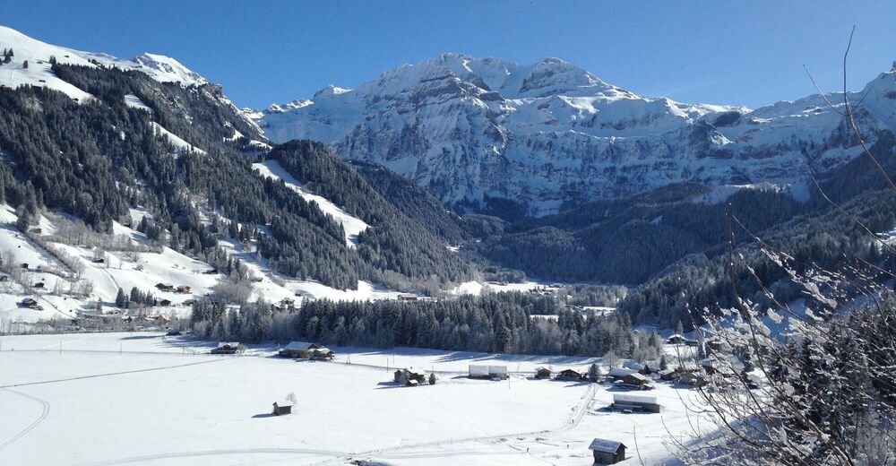
Lenk (1.068 m)Lenk (1.068 m)5,2 km
- La mejor temporada
-
agosepoctnovdicenefebmarabrmayjunjul
- Punto álgido
- 1.215 m
- Punto final
-
Valley station Betelberg
- Perfil alto
-
 © outdooractive.com

- Autor
-
La gira Bottom station Betelberg - Seefluh - Staldengässli - bottom station Betelberg (signposted) es utilizado por outdooractive.com proporcionado.
GPS Downloads


Información general
Secreto
Vistas panorámicas
Más circuitos por las regiones
-
Thyon les Collons
108
-
Adelboden
99
-
Lenk im Simmental
33