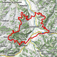
Herzschlaufe Napf Etappe Langnau - Entlebuch #399

© Erlebnismacher AG - #wirsindofflinehelden - Christof Sonderegger

© Erlebnismacher AG - #wirsindofflinehelden - Christof Sonderegger

© Erlebnismacher AG - #wirsindofflinehelden - Paul Dominik Hasler

© Erlebnismacher AG - #wirsindofflinehelden - Christof Sonderegger
© Erlebnismacher AG - #wirsindofflinehelden - Christopf Sonderegger

- Breve descripción
-
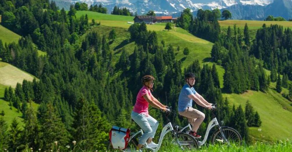
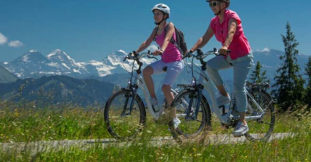
Experience the biosphere reserve in a whole new way and marvel at the nearby mountains at high altitudes.
- Dificultad
-
medio
- Valoración
-
- Ruta
-
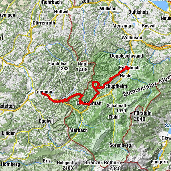
Langnau0,2 kmAltenei1,6 kmBärau1,9 kmGasthof zum Bären5,7 kmTrubschachen5,8 kmRisisegg Schindel11,5 kmTurner (1.215 m)14,0 kmHöch (1.227 m)15,3 kmOber Bödili15,8 kmHinter Lombach17,9 kmHinder Lombach18,0 kmEscholzmatt (858 m)19,5 kmLandgasthof Krone19,6 kmSt. Jakob19,6 kmWasserscheide Kleine Emme/Ilfis (857m)19,7 kmBahnhof19,8 kmSt. Katharina19,8 kmTellenmoos23,5 kmSchwändili29,9 kmSchüpferegg (1.013 m)35,9 kmGmünde36,7 kmHabschwanden40,4 kmChriesbaume41,2 kmFlüemätteli42,4 kmEntlebuch (723 m)43,4 kmBahnhöfli43,4 kmEntlebuch (684 m)43,5 km
- La mejor temporada
-
enefebmarabrmayjunjulagosepoctnovdic
- Punto álgido
- 1.208 m
- Punto final
-
bicycle station Entlebuch or Langnau
- Perfil alto
-
 © outdooractive.com


-

-
AutorLa gira Herzschlaufe Napf Etappe Langnau - Entlebuch #399 es utilizado por outdooractive.com proporcionado.
GPS Downloads


Información general
Punto de avituallamiento
Secreto
Vistas panorámicas
Más circuitos por las regiones
-
Obwalden
104
-
UNESCO Biosphäre Entlebuch
63
-
Trub
14