


Datos del tour
16,44km
762
- 1.055m
501hm
481hm
03:50h
- Breve descripción
-
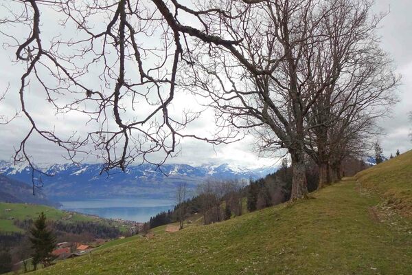
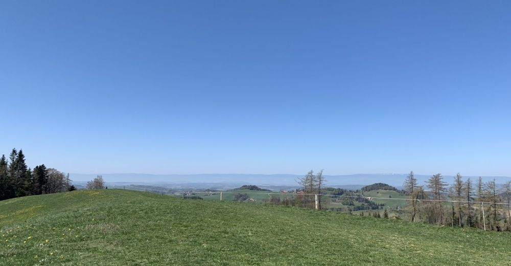
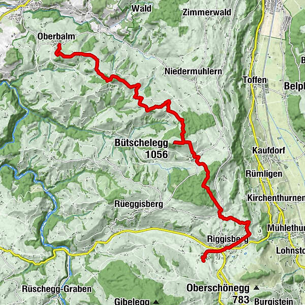
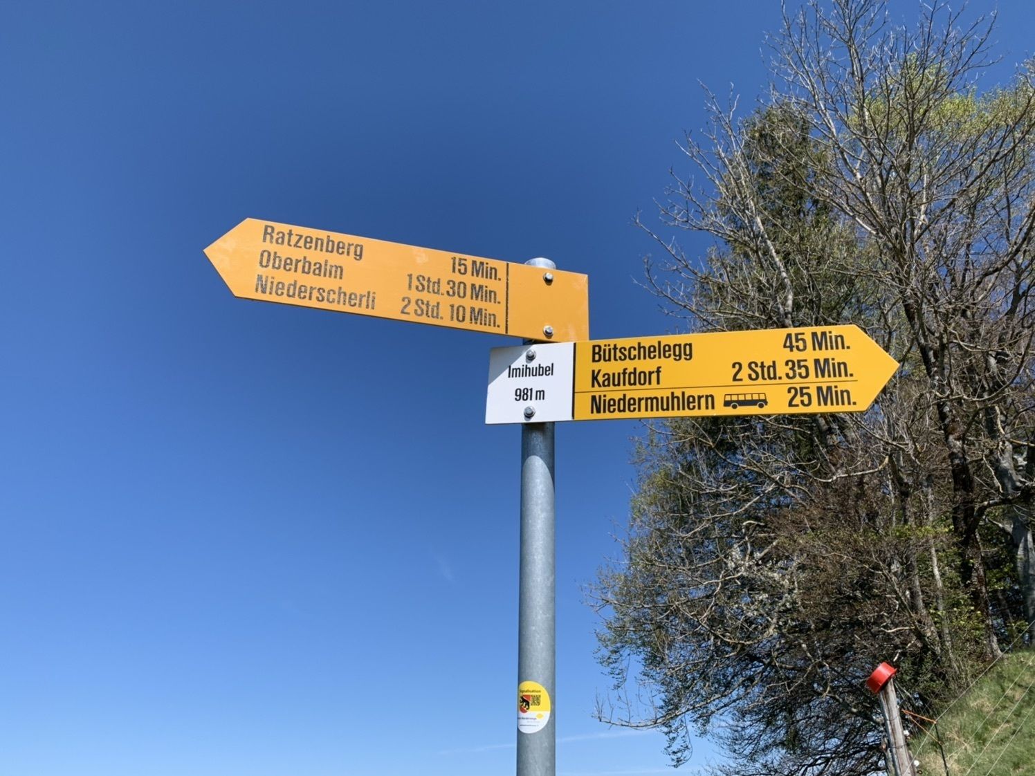
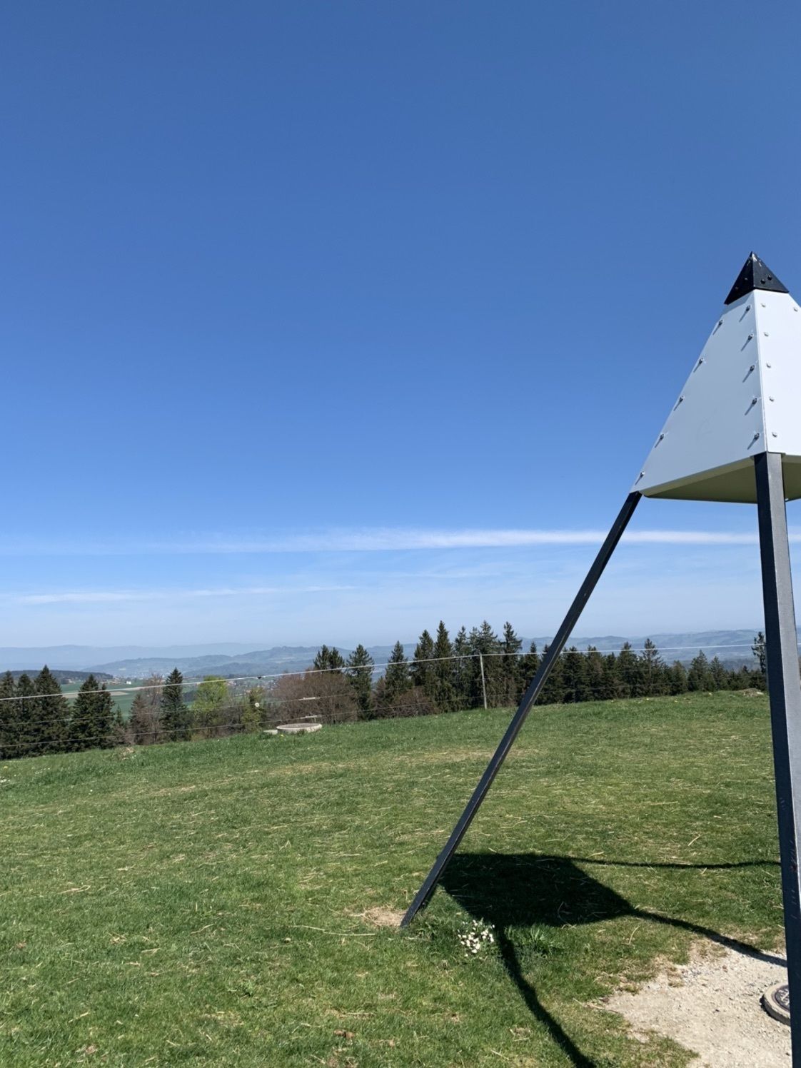
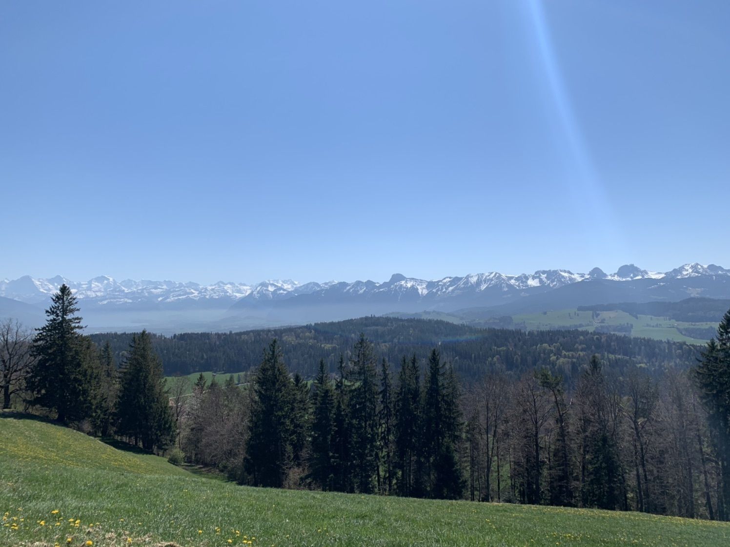
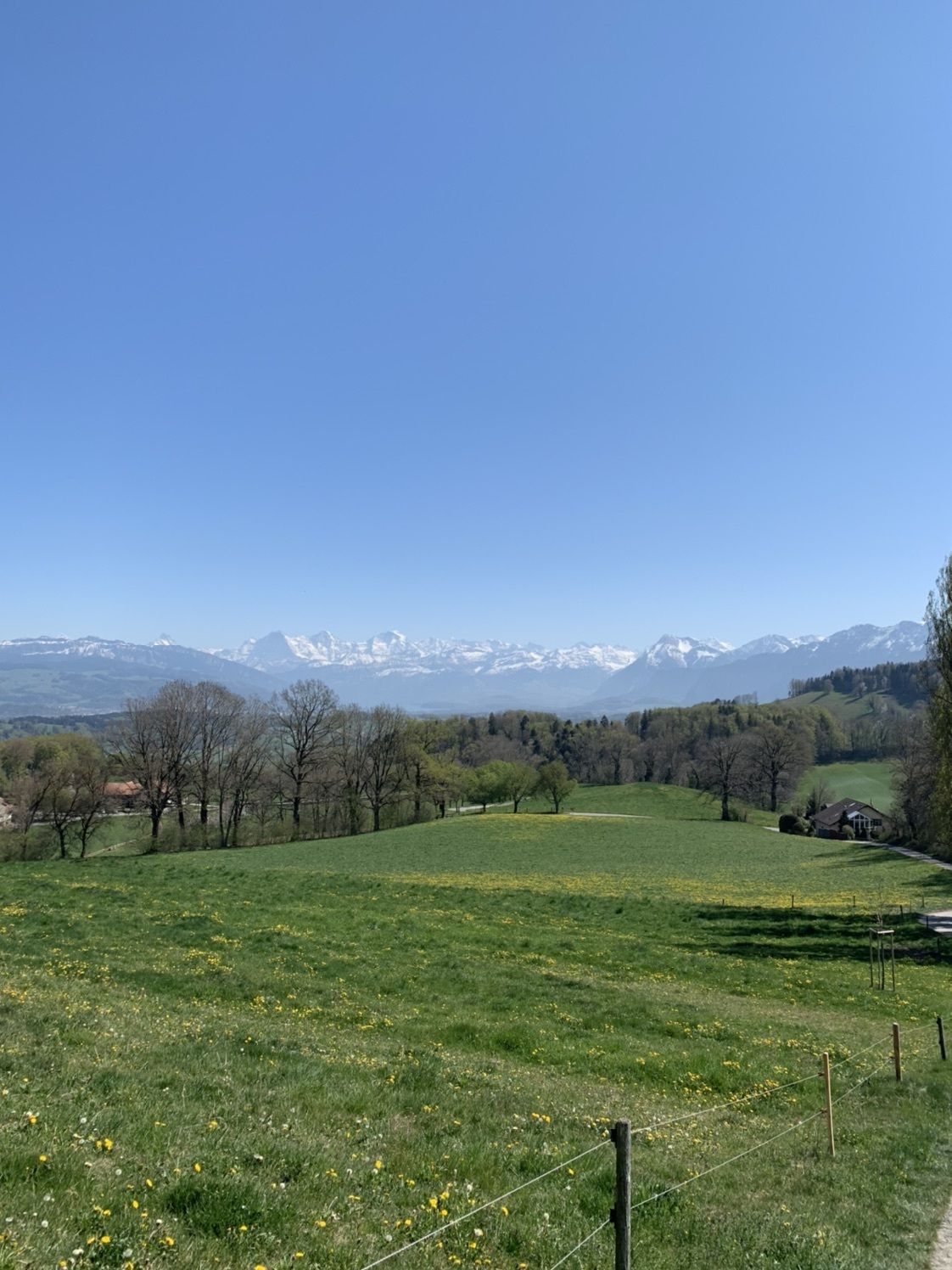
Sehr schöne Wanderung, mit toller Aussicht.
- Dificultad
-
fácil
- Valoración
-
- Ruta
-
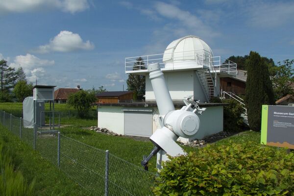
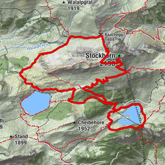
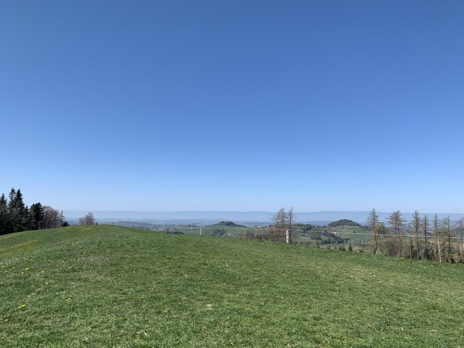
St. SulpitiusOberbalm0,0 kmGassershaus1,9 kmBaumannshaus4,0 kmRatzenberg4,7 kmImihubel (980 m)5,8 kmOberblacke6,3 kmUecht6,8 kmRestaurant Bütschelegg8,3 kmBuetschelegg8,6 kmBütschelegg (1.056 m)8,6 kmBütschelegg9,1 kmOberbütschel9,8 kmHasli12,3 kmRestaurant Rössli12,6 kmRiggisberg (762 m)15,1 kmBistro Bosphorus15,4 kmRestaurant Brunnen16,0 km
- Punto álgido
- 1.055 m


GPS Downloads


Más circuitos por las regiones
-
Biel Seeland
783
-
Naturpark Gantrisch
461
-
Rüeggisberg
137