© Jungfrau.ch

© Unbekannt

© Jungfrau.ch

© Jungfrau.ch
- Breve descripción
-
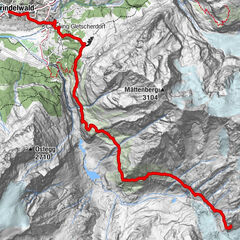
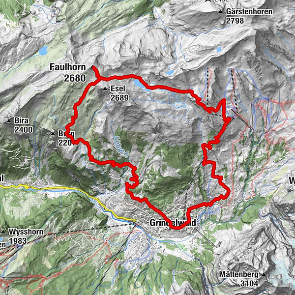
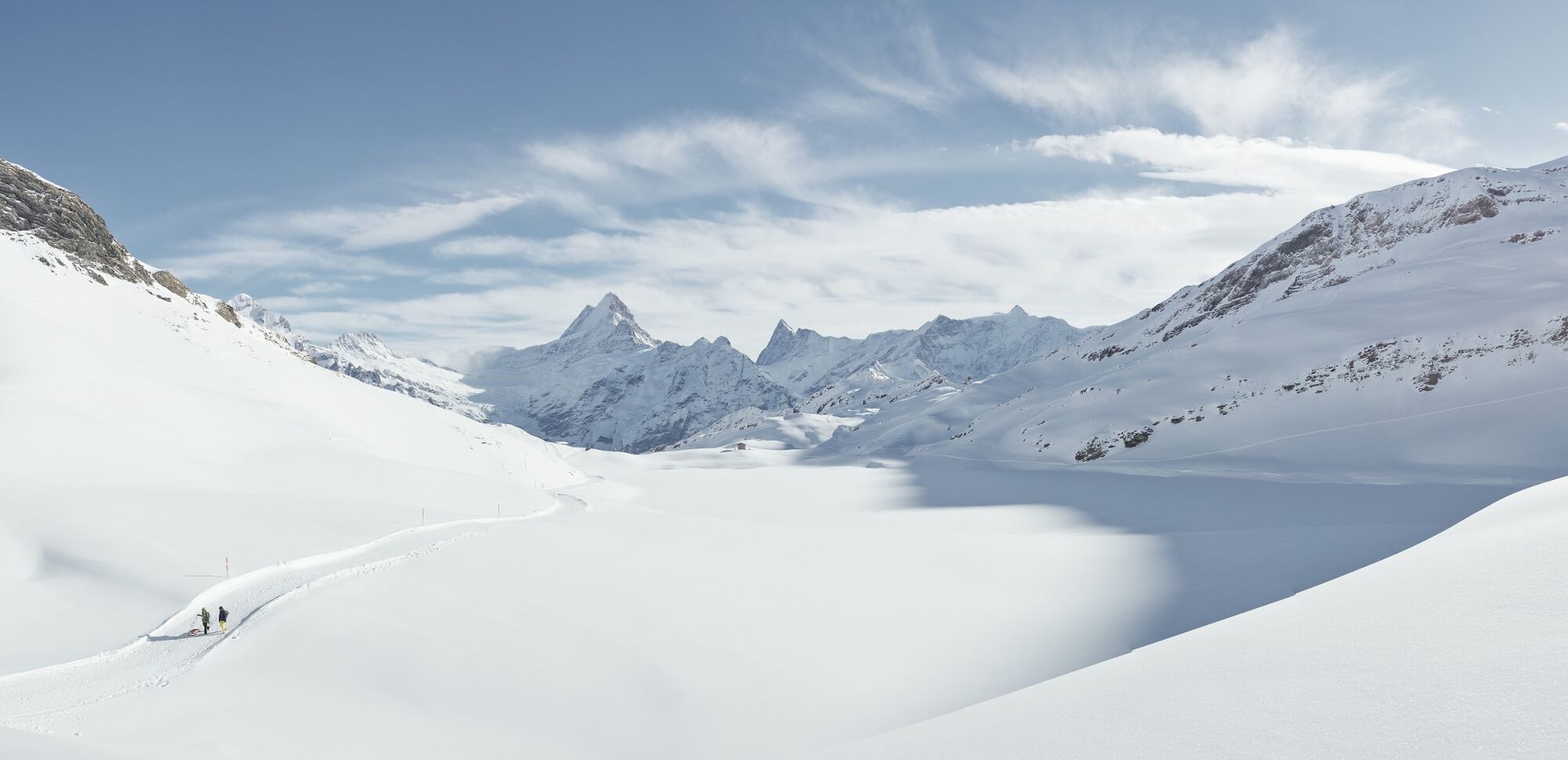
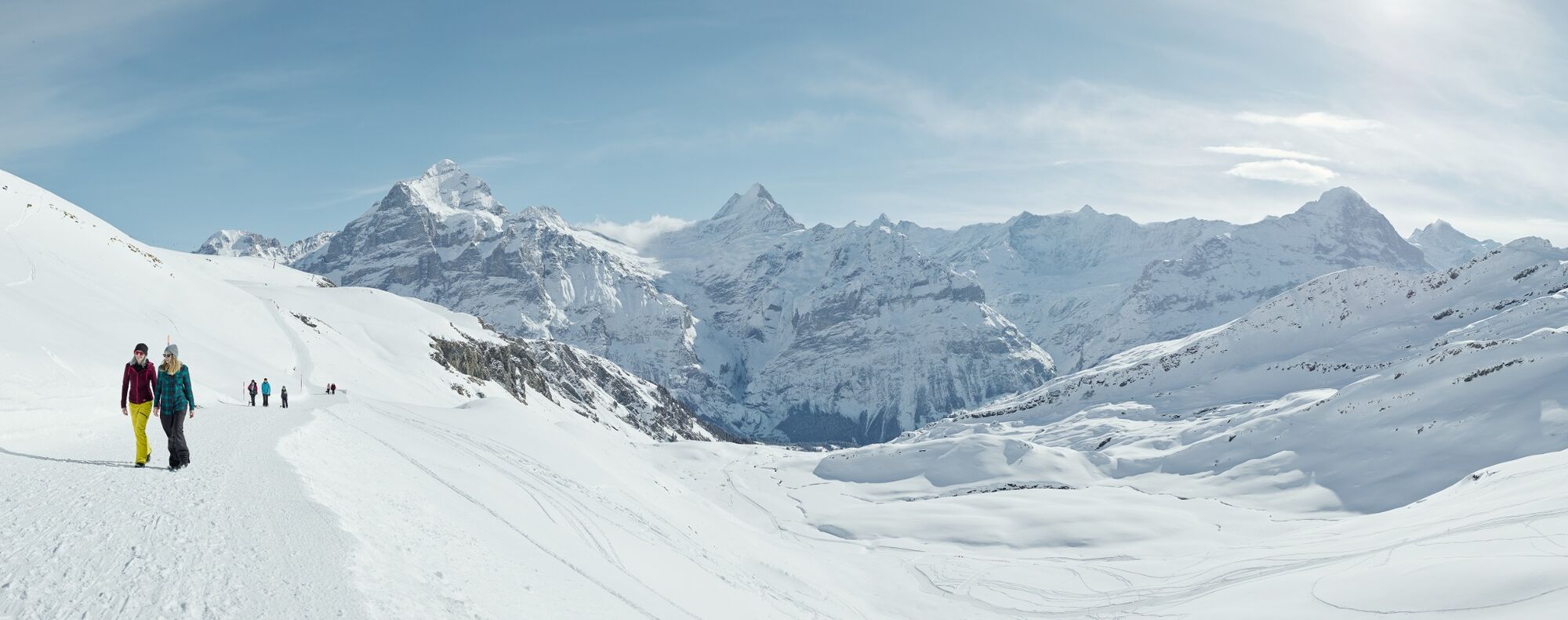
An up- & downhill trail that offers a great winter workout covering almost 1,700 meters of elevation and a distance of 27 kilometres.
- Dificultad
-
difícil
- Valoración
-
- Ruta
-
Grindelwald0,1 kmMilchbach1,8 kmChuestall5,4 kmBergrestaurant Bort5,4 kmBort (1.564 m)5,5 kmFaulhorn (2.680 m)15,7 kmOberläger18,5 kmBussalp19,6 kmSwiss Alp Resort27,0 kmGrindelwald27,4 km
- La mejor temporada
-
enefebmarabrmayjunjulagosepoctnovdic
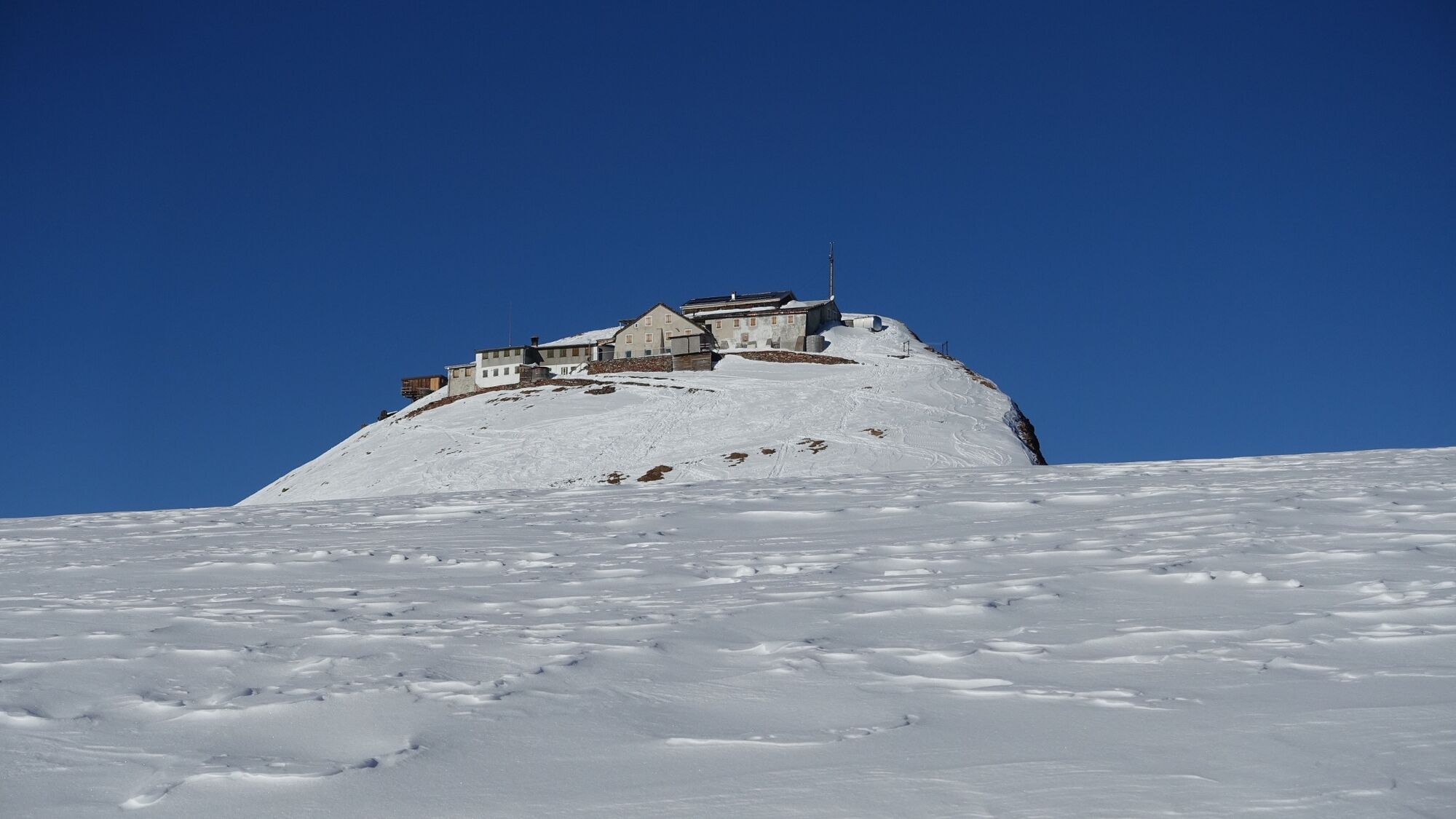
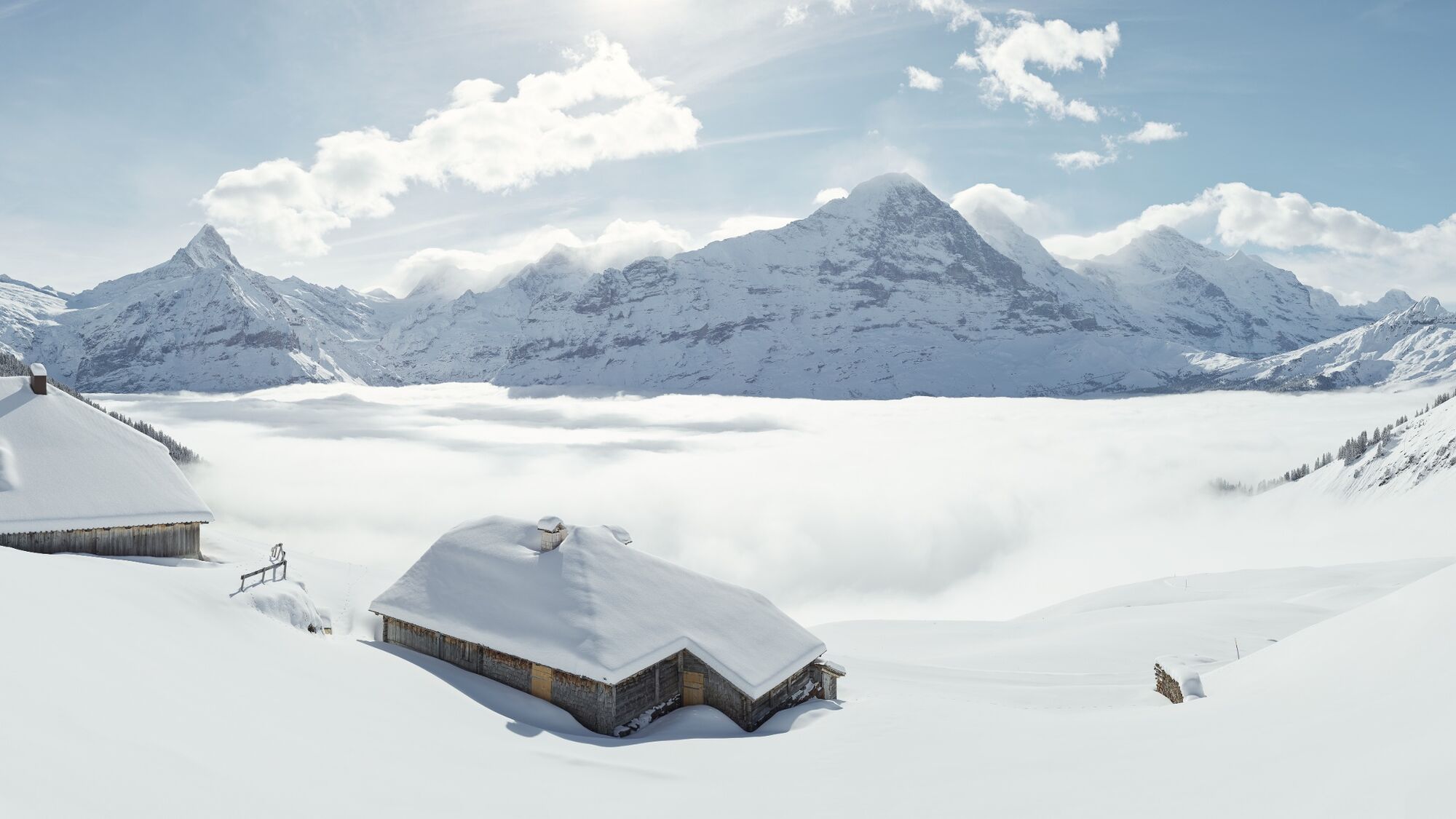
- Punto álgido
- 2.655 m
- Punto final
-
Grindelwald sports centre
- Perfil alto
-
 © outdooractive.com
- Autor
-
La gira The big Faulhorn tour W4 es utilizado por outdooractive.com proporcionado.
GPS Downloads


Información general
Punto de avituallamiento
Vistas panorámicas
Más circuitos por las regiones
-
Obwalden
63
-
Jungfrau Region
51
-
Grindelwald - First
40