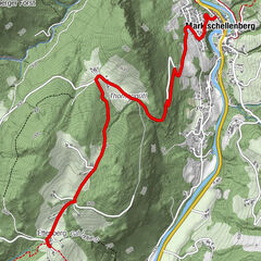
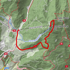
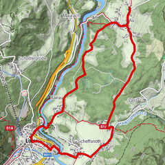
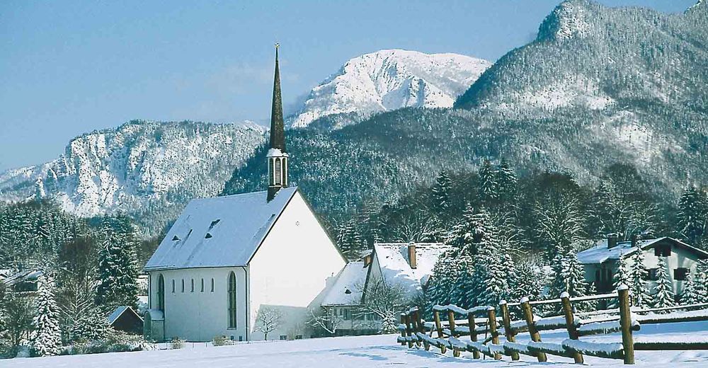
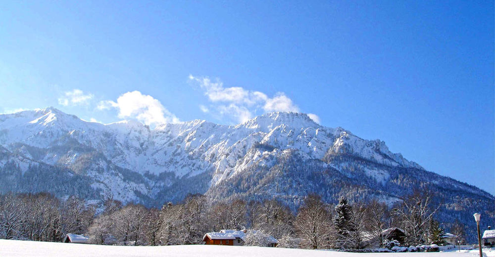
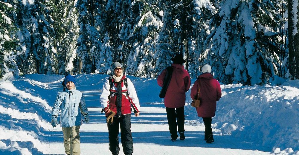
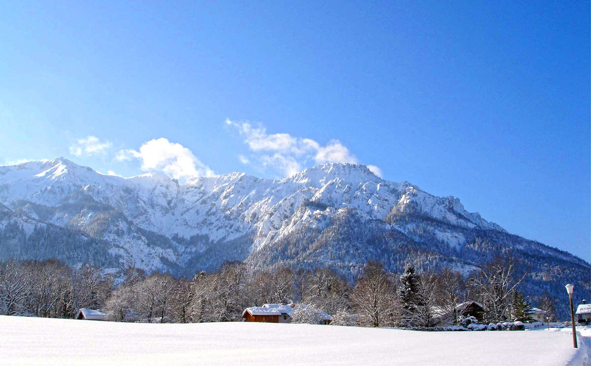
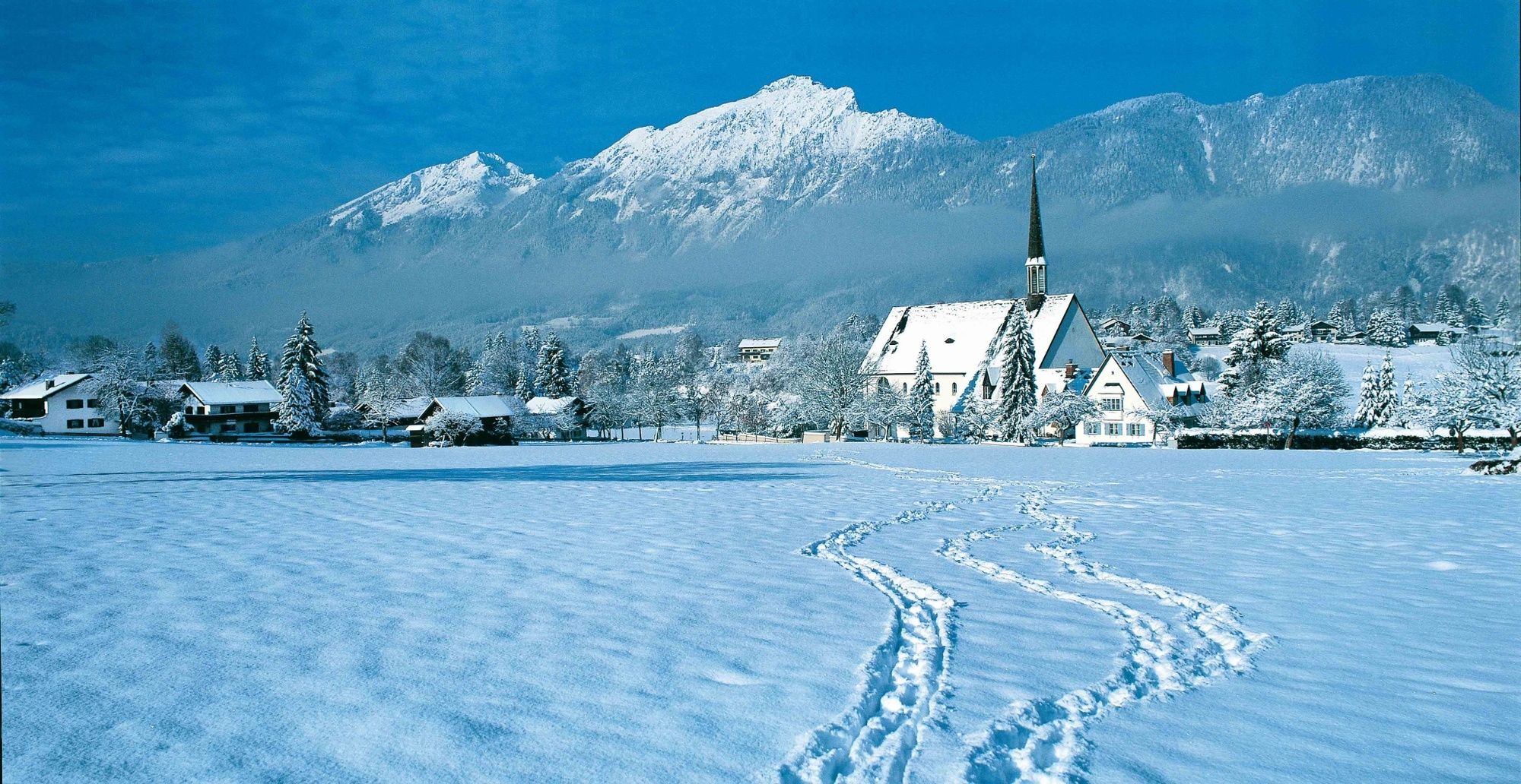
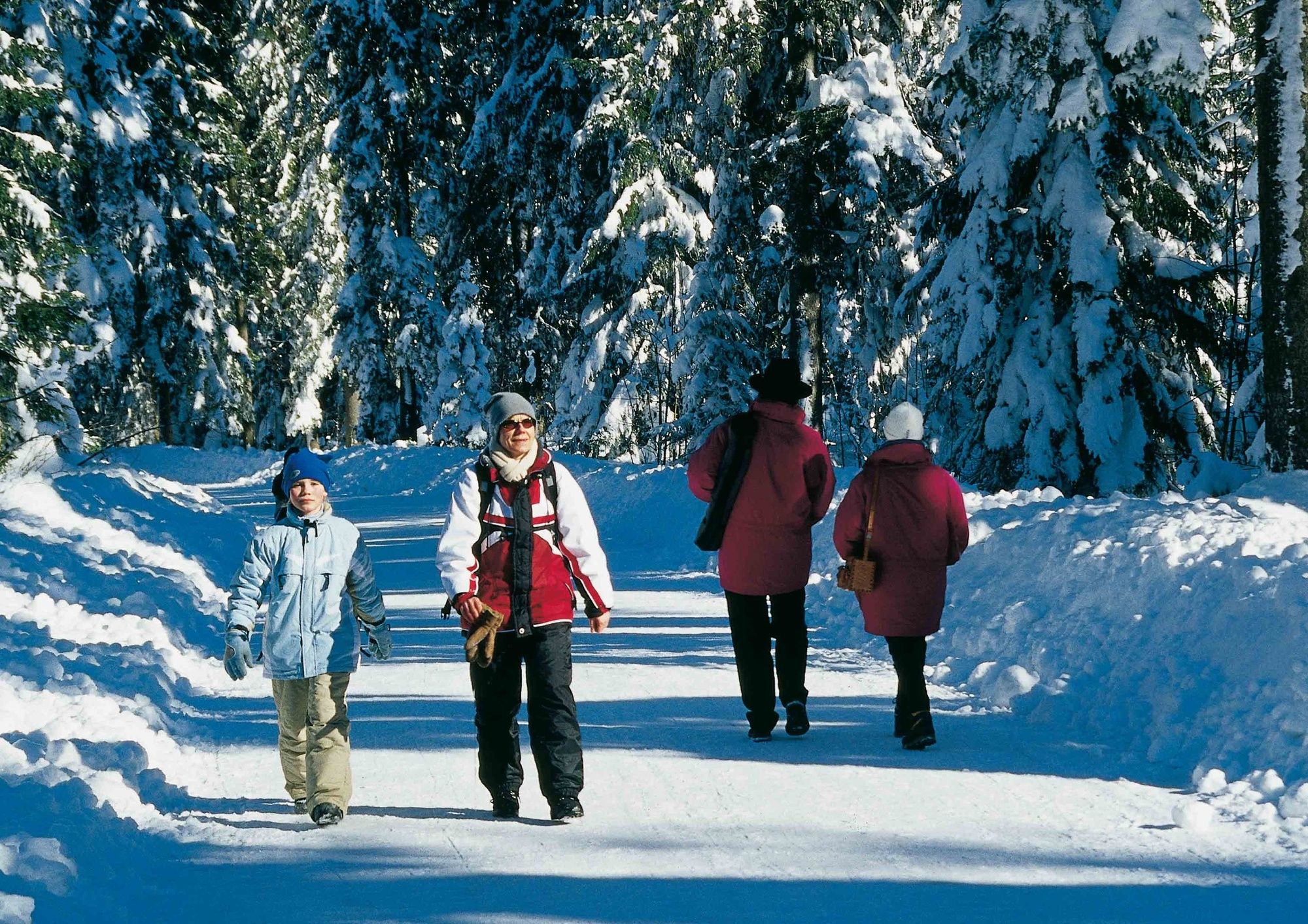
Winterwanderung auf dem Hallthurmer Weg - von Bayerisch Gmain nach Hallthurm

Senderismo de invierno
© Tourenportal Berchtesgadener Land - Bergerlebnis Berchtesgaden
© Tourenportal Berchtesgadener Land - Berchtesgadener Land Tourismus GmbH

© Tourenportal Berchtesgadener Land - Bergerlebnis Berchtesgaden
© Tourenportal Berchtesgadener Land - Bergerlebnis Berchtesgaden
Datos del tour
3,78km
560
- 693m
124hm
11hm
01:30h
- Breve descripción
-
Von Bayerisch Gmain nach Hallthurm
- Dificultad
-
medio
- Valoración
-
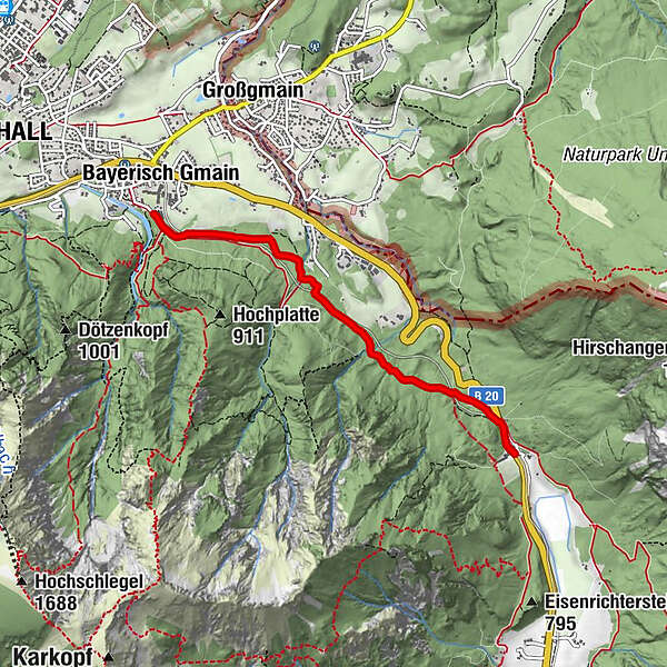
- Ruta
-
Bad Reichenhall (473 m)Bayerisch Gmain
- La mejor temporada
-
agosepoctnovdicenefebmarabrmayjunjul
- Punto álgido
- 693 m
- Punto final
-
Hallthurm
- Perfil alto
-
 © outdooractive.com

-

-
AutorLa gira Winterwanderung auf dem Hallthurmer Weg - von Bayerisch Gmain nach Hallthurm es utilizado por outdooractive.com proporcionado.
GPS Downloads


Información general
Flora
Más circuitos por las regiones