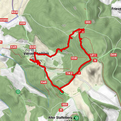
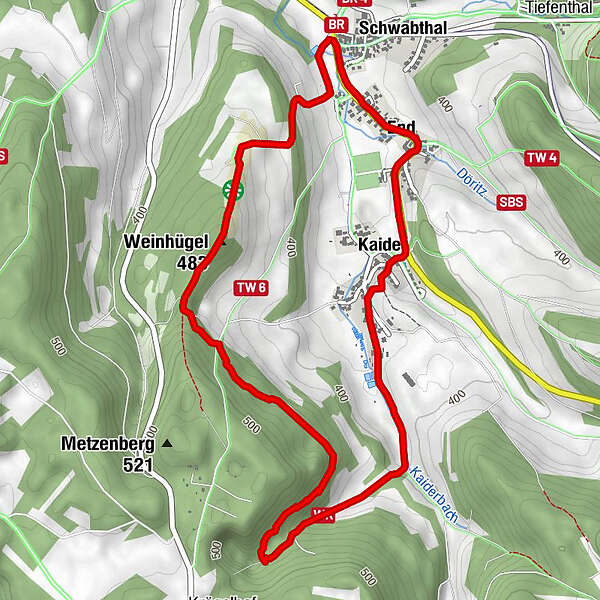
Datos del tour
5,91km
341
- 477m
165hm
170hm
01:34h
- Breve descripción
-
Rundweg: Weinhügel - Kaider - End - Schwabthal
- Dificultad
-
fácil
- Valoración
-
- Ruta
-
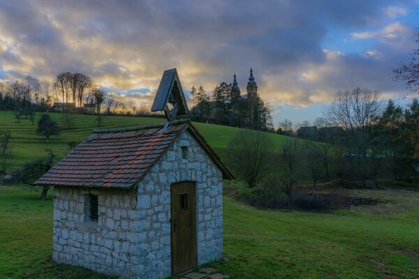
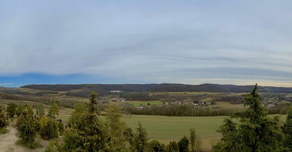
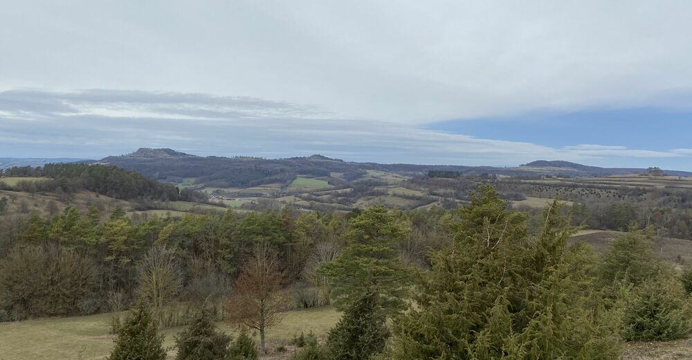
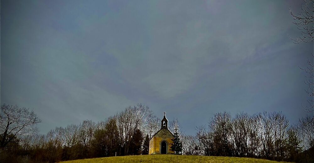
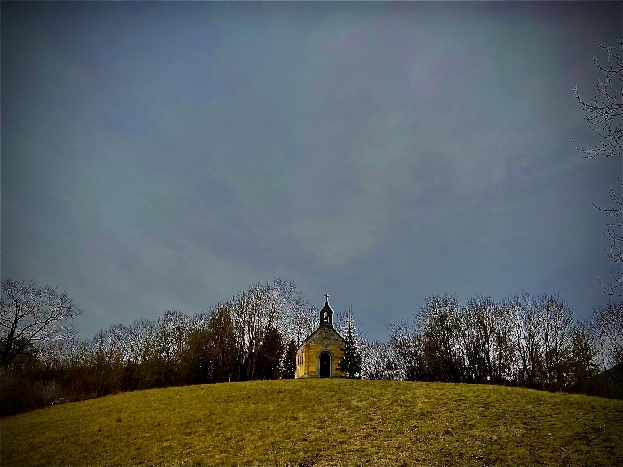
SchwabthalEnd0,2 kmWeinhügel (483 m)1,2 kmMarienkapelle4,5 kmKaider4,7 kmEnd5,4 kmSchwabthal5,8 km
- Punto álgido
- 477 m
GPS Downloads


Más circuitos por las regiones
-
Obermain Jura
285
-
Bad Staffelstein
100