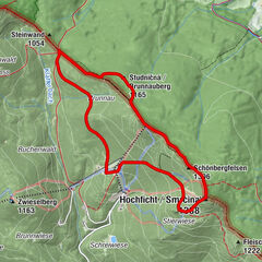
Datos del tour
3,4km
848
- 924m
81hm
00:50h

- Valoración
-
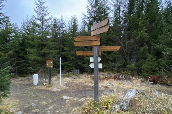
- Punto de salida
-
Waldanfang nach Reiterhof Oberludwigsreut
- Punto álgido
- 924 m
- Descanso/Avituallamiento
-
auf Rundweg keine Einkehrmöglichkeit!
- Material cartográfico
-
Tourist-Info Haidmühle
Schulstr. 39
94145 Haidmühle
Tel. 08556/19433
haidmuehle@t-online.de
www.haidmuehle.de


GPS Downloads


Superficie de carretera
Asfalto
Gravilla
Pradera
Bosque
Roca
Expuesto
Más circuitos por las regiones
-
Böhmerwald
241
-
Haidmühle
104