
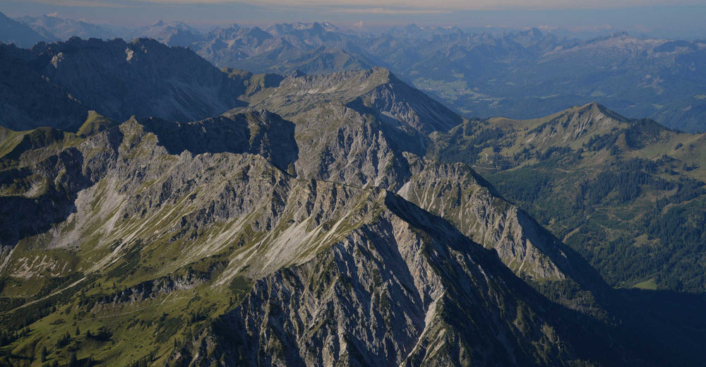
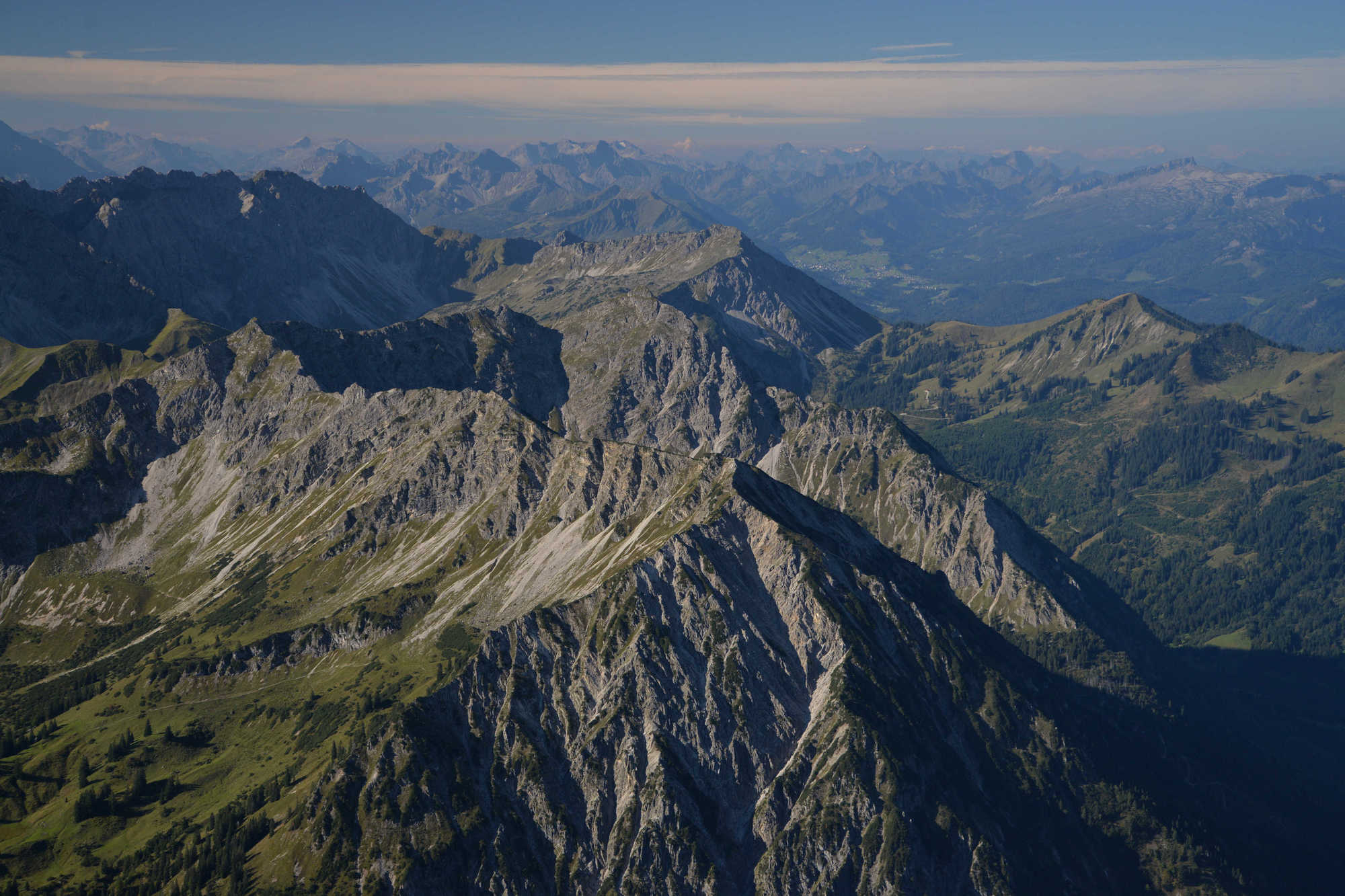
© Bad Hindelang Tourismus
Datos del tour
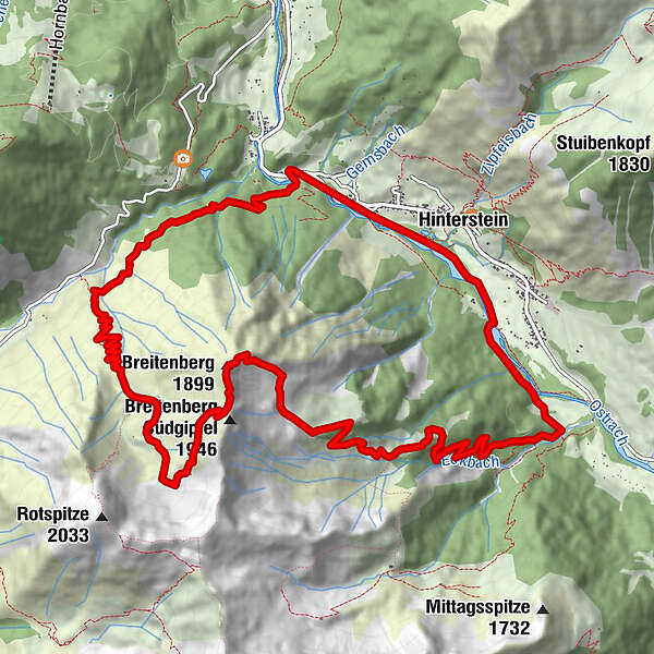
14,94km
841
- 1.861m
1.009hm
1.019hm
06:30h
- Dificultad
-
difícil
- Valoración
-
- Punto de salida
-
Hinterstein - Parkplatz Säge
- Ruta
-
Breitenberg (1.893 m)6,7 kmHinterstein13,3 km
- La mejor temporada
-
enefebmarabrmayjunjulagosepoctnovdic
- Punto álgido
- 1.861 m
- Descanso/Avituallamiento
-
keine
- Material cartográfico
-
Direkt in der Gästeinformation Bad Hindelang
GPS Downloads


Superficie de carretera
Asfalto
Gravilla
Pradera
Bosque
Roca
Expuesto
Más circuitos por las regiones
-
Allgäu
2357
-
Alpsee-Grünten
1694
-
Hinterstein
410


