


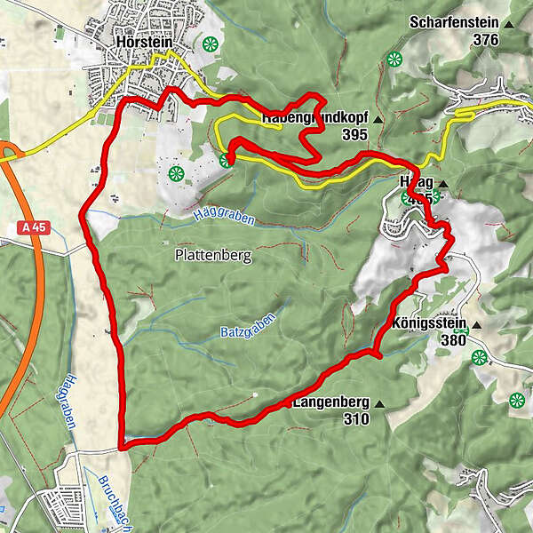
Datos del tour
15,33km
147
- 448m
507hm
206hm
05:13h
- Dificultad
-
medio
- Valoración
-
- Ruta
-
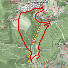
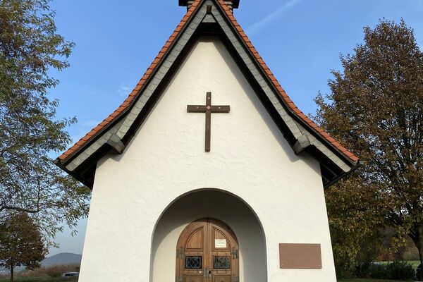
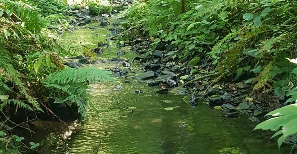
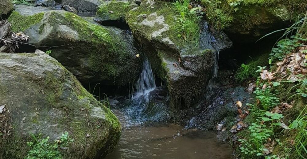
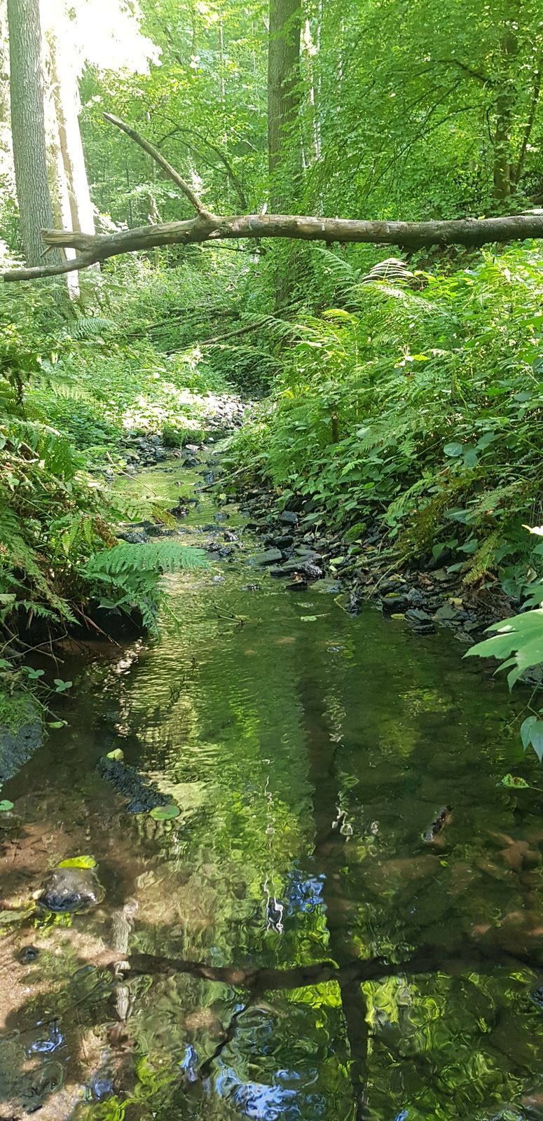
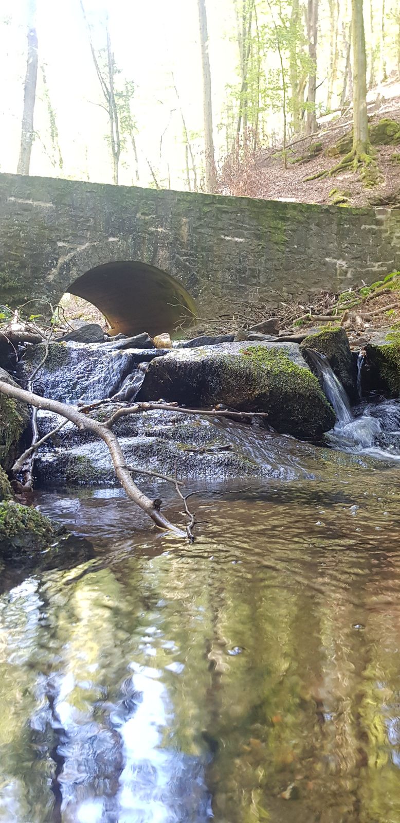
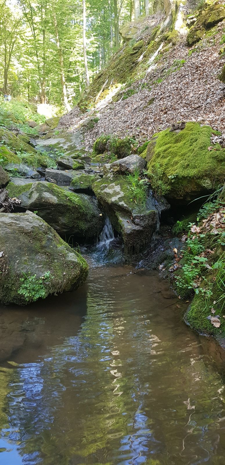
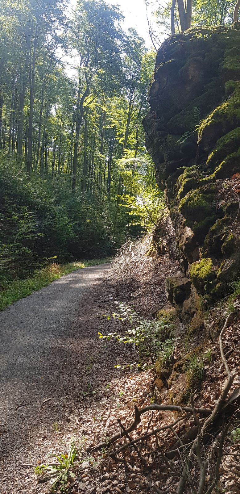
Wilgefortiskapelle0,1 kmHörstein0,6 kmRückersbach7,0 kmRückersbacher Schlucht7,4 kmRückersbacher Schlucht10,3 kmSchluchthof11,9 kmHeißerackerhof - Al Cappuccino13,0 kmMariengrotte13,8 kmAnica15,1 kmSole15,1 kmHörstein15,3 km
- La mejor temporada
-
enefebmarabrmayjunjulagosepoctnovdic
- Punto álgido
- 448 m

GPS Downloads


Más circuitos por las regiones
-
Bergstraße Odenwald
792
-
Spessart-Mainland / Bayern
346
-
Alzenau
51