- Breve descripción
-
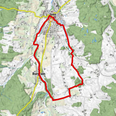
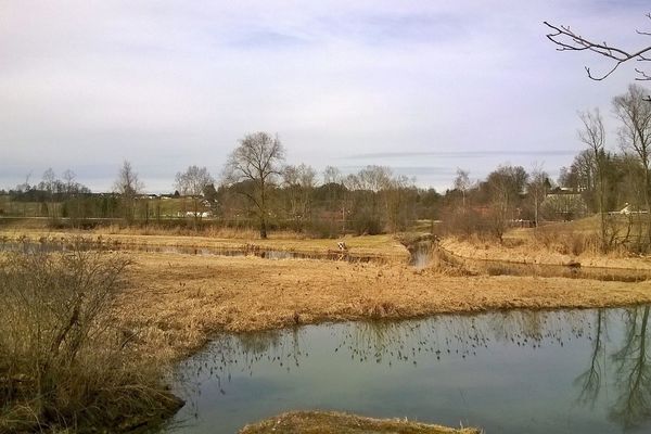
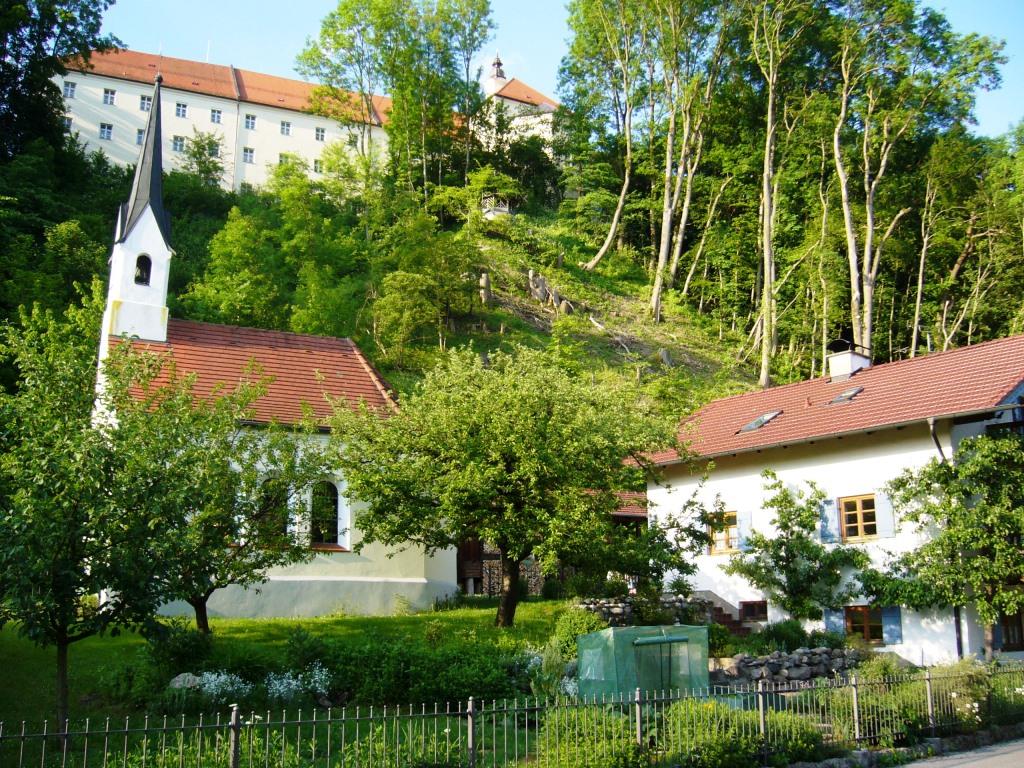
Die Wanderung führt von Attel hinunter in die Attlerau, ein kurzes Stück entlang des Inns nach Elend und über eine Treppe wieder zurück nach Attel.
- Dificultad
-
fácil
- Valoración
-
- Ruta
-
Attel0,3 kmElend2,5 kmFischerstüberl2,7 kmGänsberg2,9 kmSt. Michael3,1 km
- La mejor temporada
-
enefebmarabrmayjunjulagosepoctnovdic
- Punto álgido
- 477 m
- Punto final
-
Attel
- Perfil alto
-
 © outdooractive.com


- Autor
-
La gira Rund um Attel bei Wasserburg es utilizado por outdooractive.com proporcionado.
GPS Downloads


Información general
Punto de avituallamiento
Cultural/Histórico
Más circuitos por las regiones
-
Region Simssee
1070
-
Griesstätt
35