
- Breve descripción
-
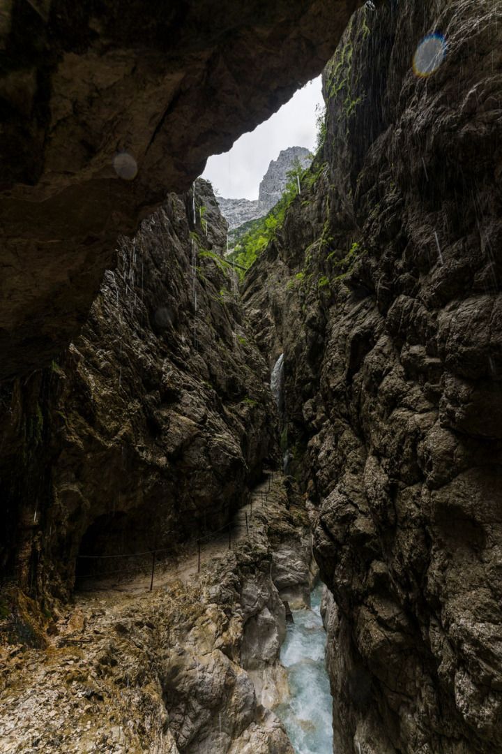
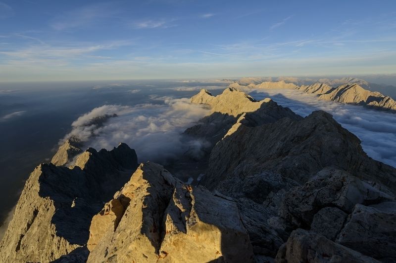
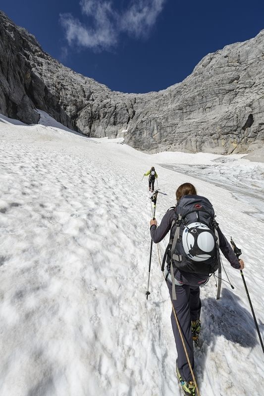
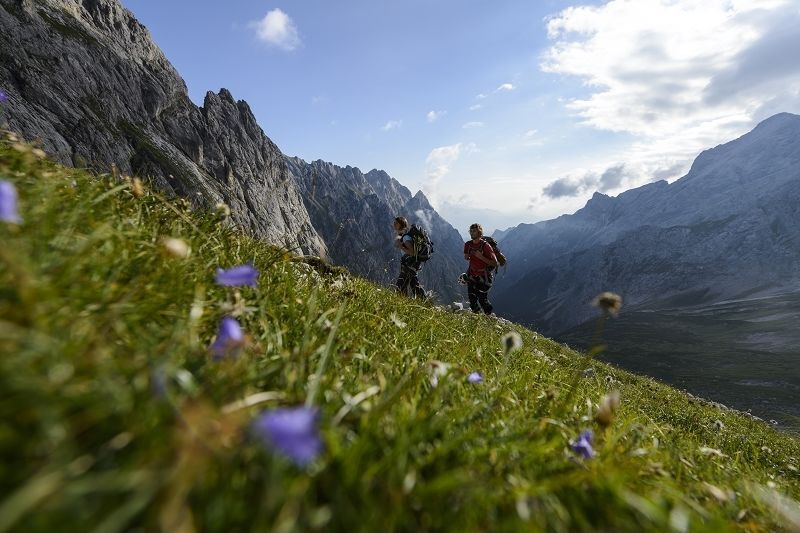
Wunderschöne, landschaftlich sehr abwechslungsreiche aber auch sehr anspruchsvolle Tour.
- Ruta
-
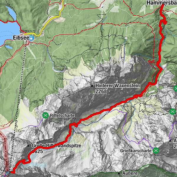
Hammersbach (758 m)Mariä HimmelfahrtHammersbacher Hütt'n0,0 kmJosefskapelle5,3 kmHöllentalangerhütte5,4 kmBrett7,3 kmZugspitze (2.962 m)10,5 km
- Punto álgido
- 2.943 m
- Punto final
-
Zugspitzgipfel
- Perfil alto
-
 © outdooractive.com

- Autor
-
La gira Höllental - Zugspitze es utilizado por outdooractive.com proporcionado.
GPS Downloads


Más circuitos por las regiones
-
ZugspitzLand
1623
-
Grainau
569