


- Breve descripción
-
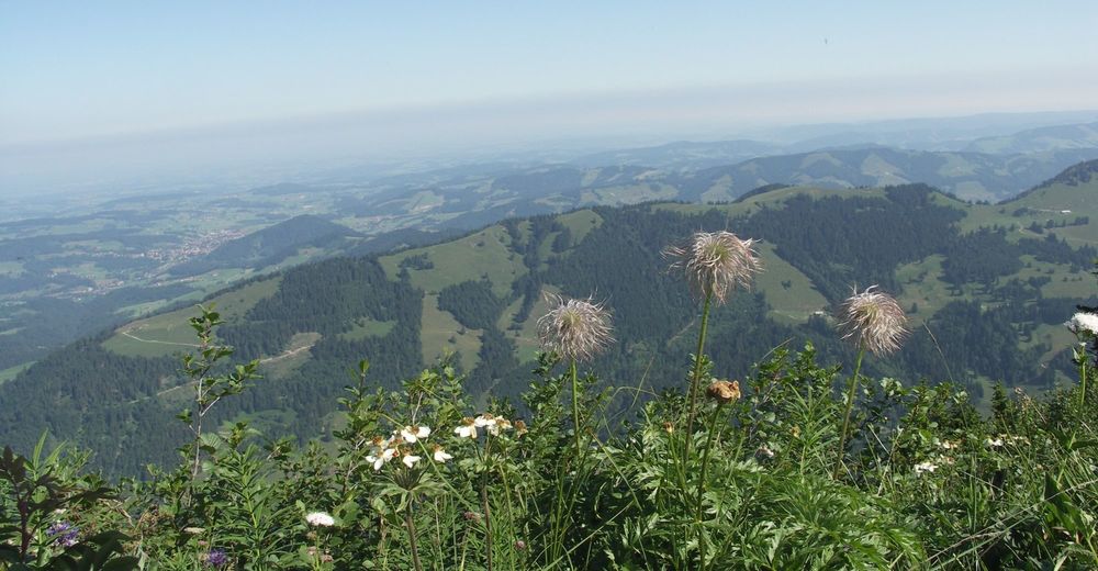
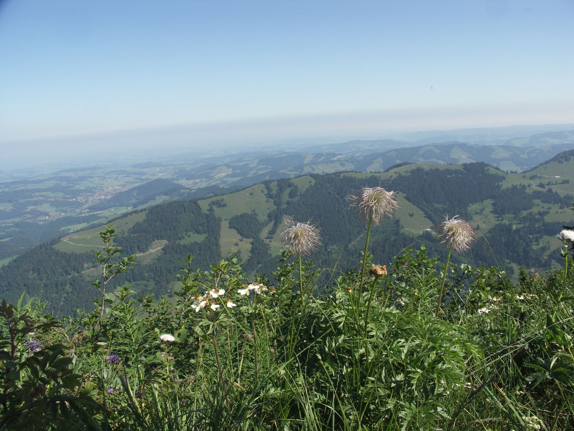
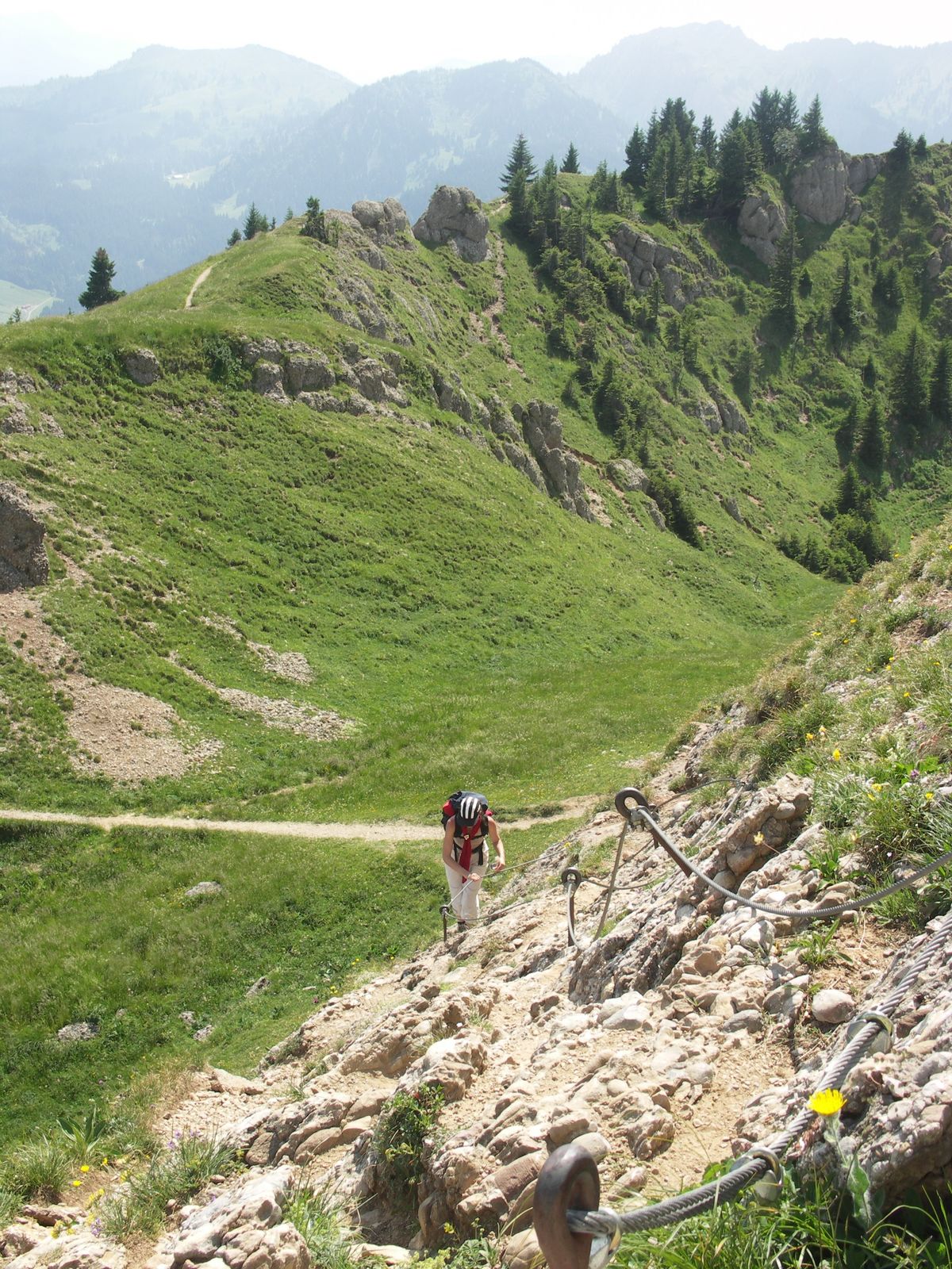
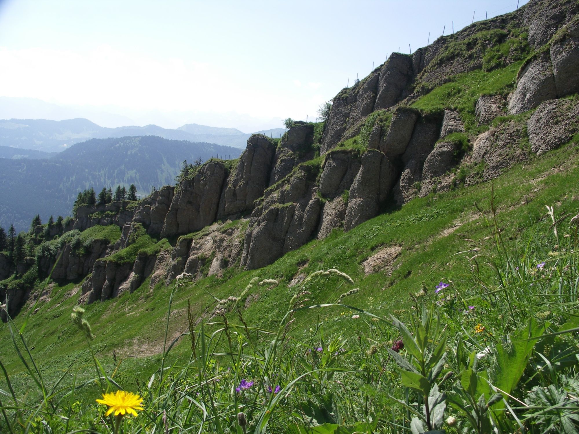
Auf dieser anspruchsvollen Gratwanderung überschreiten wir die landschaftlich reizvolle Nagelfluhkette von West nach Ost. Traumhafte Tief- und Weitblicke sind hier garantiert.
- Dificultad
-
difícil
- Valoración
-
- Ruta
-
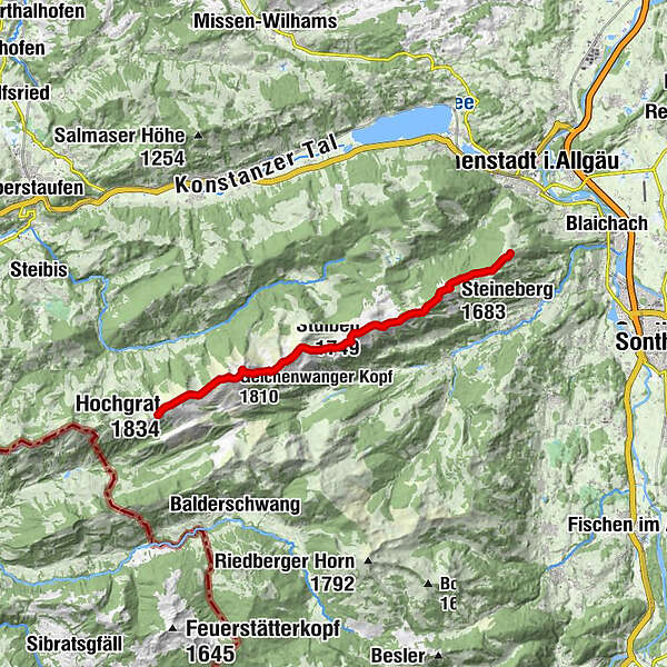
Bergrestaurant am Hochgrat (1.834 m)0,0 kmHochgrat (1.834 m)0,6 kmBrunnenauscharte (1.624 m)1,6 kmGelchenwanger Kopf (1.810 m)2,6 kmRindalphorn (1.821 m)3,2 kmGündleskopf (1.748 m)4,8 kmBuralpkopf (1.772 m)5,6 kmSedererstuiben (1.737 m)7,6 kmStuiben (1.749 m)8,3 kmSteinköpfle (1.670 m)9,7 kmSteineberg (1.683 m)11,2 kmMittag (1.451 m)13,7 kmRestaurant Mittagberg13,8 km
- La mejor temporada
-
enefebmarabrmayjunjulagosepoctnovdic
- Punto álgido
- 1.820 m
- Perfil alto
-
 © outdooractive.com
- Autor
-
La gira Nagelfluh-Gratwanderung es utilizado por outdooractive.com proporcionado.
GPS Downloads


Información general
Punto de avituallamiento
Flora
Vistas panorámicas
Más circuitos por las regiones
-
Allgäu
2357
-
Alpsee-Grünten
1694
-
Alpsee Bergwelt
601