© Andreas Muehlbauer

© Andreas Muehlbauer

© Andreas Muehlbauer

© Andreas Muehlbauer

© Andreas Muehlbauer

© Andreas Muehlbauer

© Andreas Muehlbauer
Datos del tour
2,63km
648
- 898m
276hm
276hm
00:45h

- Breve descripción
-
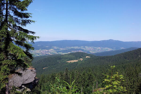
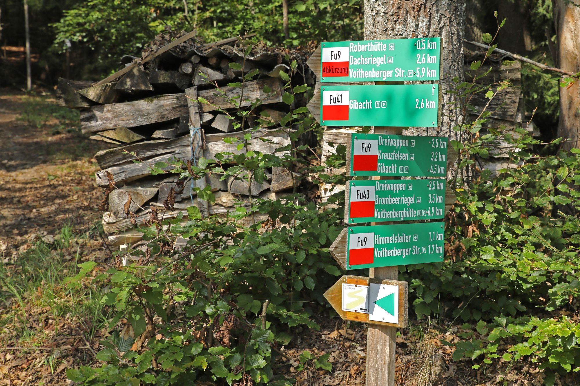
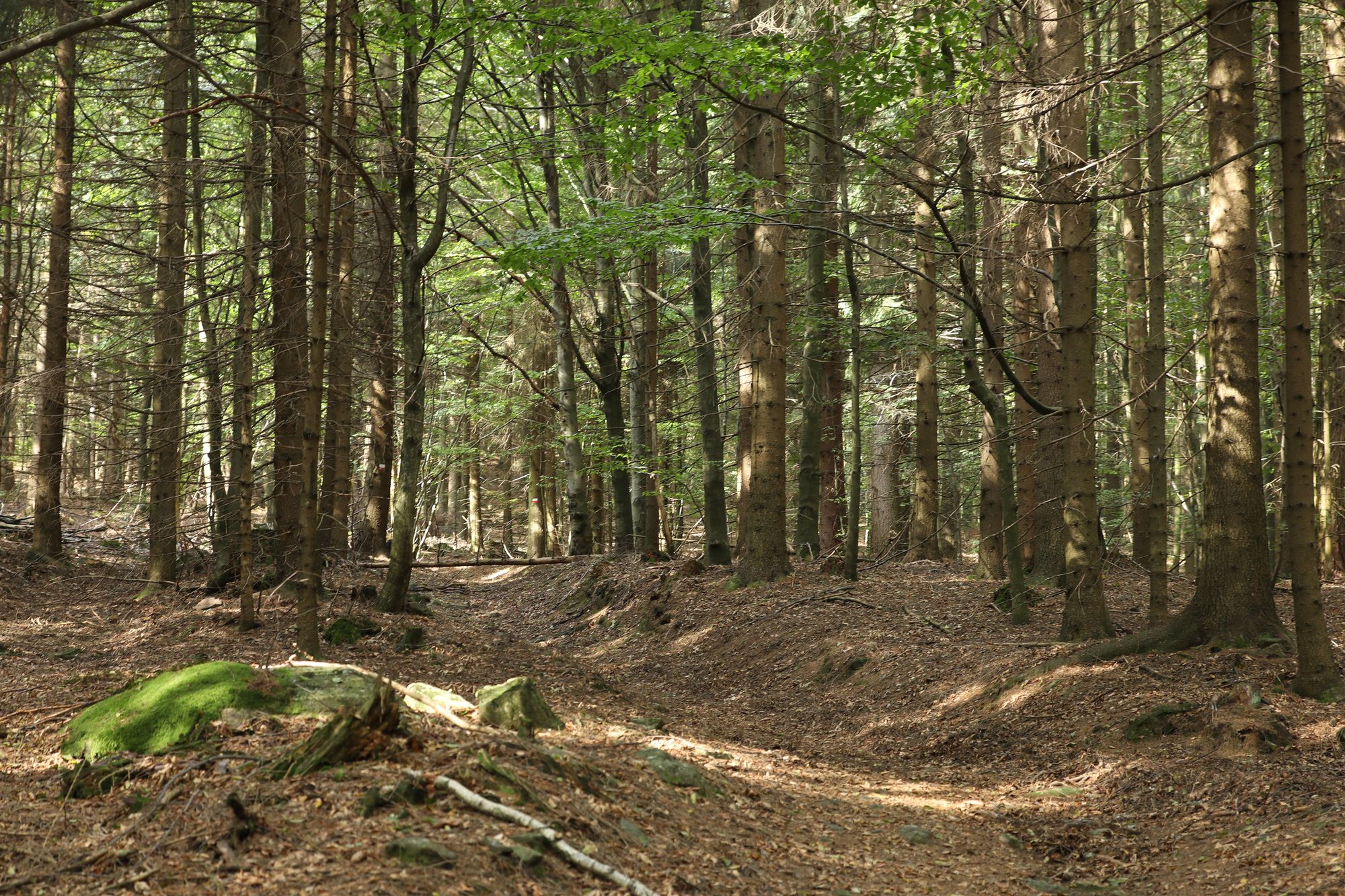
Wanderung vom Voithenberg hinauf zum Gibacht.
- Dificultad
-
medio
- Valoración
-
- Punto de salida
-
Wanderparkplatz Voithenberg
- Ruta
-
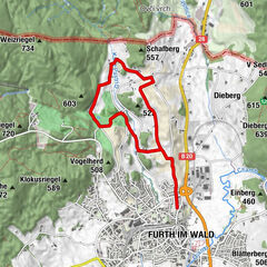
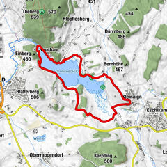
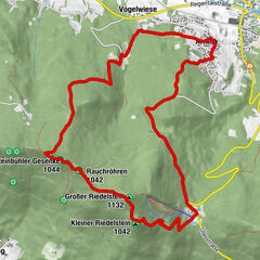
VoithenbergMariae Heimsuchung0,0 kmSteinernes Brünnl1,0 kmTannenriegel (910 m)2,0 kmGibacht2,5 kmBerghof Gibacht2,6 km
- La mejor temporada
-
enefebmarabrmayjunjulagosepoctnovdic
- Punto álgido
- 898 m
- Punto final
-
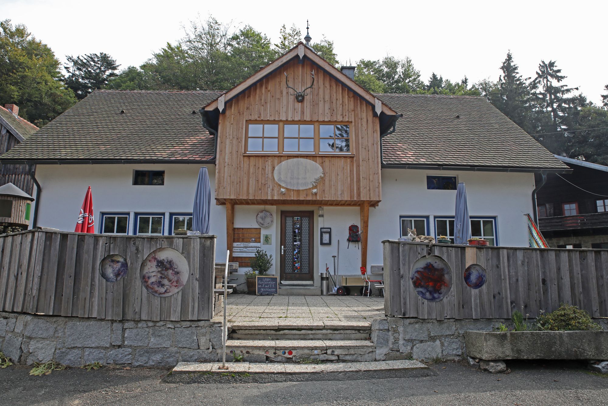
Berggasthof Gibacht.
- Descanso/Avituallamiento
-
Am Start der Wanderung besteht die Möglichkeit zur Einkehr bei der Schloßwirtschaft Voithenberg und Einkehr am Voithenberg. Am Ziel der Wanderung liegt der Berggasthof Gibacht.
- Material cartográfico
-
Kartenmaterial ist in der Further Tourist Information zu bekommen. Tel. 09973/509-80.


- Teléfono de información
-
09973/509-80
- Link
- www.bayerischer-wald-ganz-oben.de
- Fuente
- Andreas Mühlbauer
GPS Downloads


Superficie de carretera
Asfalto
Gravilla
(40%)
Pradera
Bosque
(60%)
Roca
Expuesto
Más circuitos por las regiones