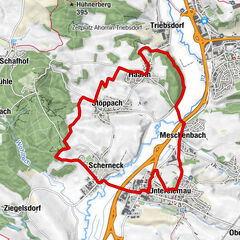
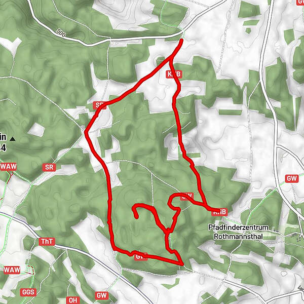
Datos del tour
6,46km
520 - 577m
Distancia
107hm
105hm
Ascenso
01:49h
 
Duración
Breve descripción

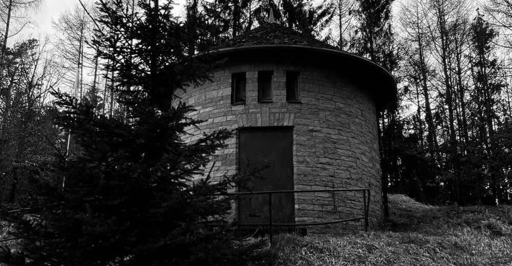
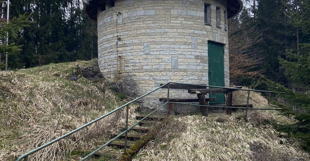
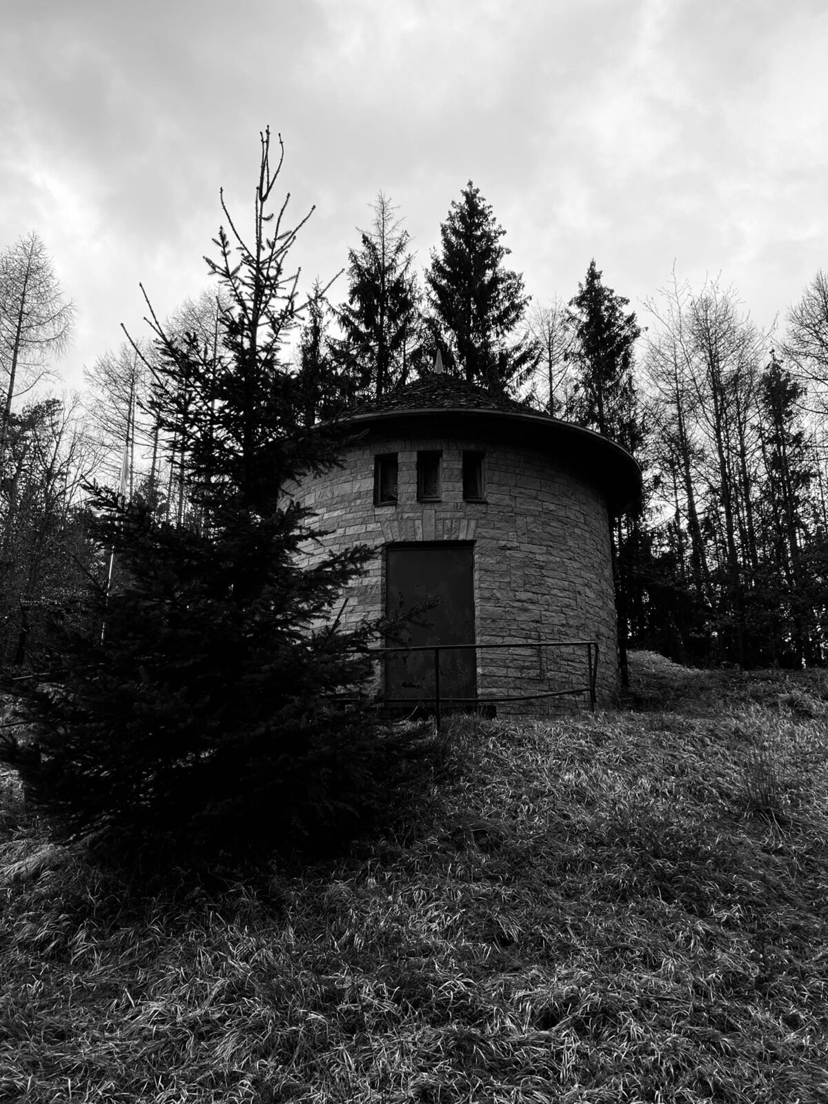
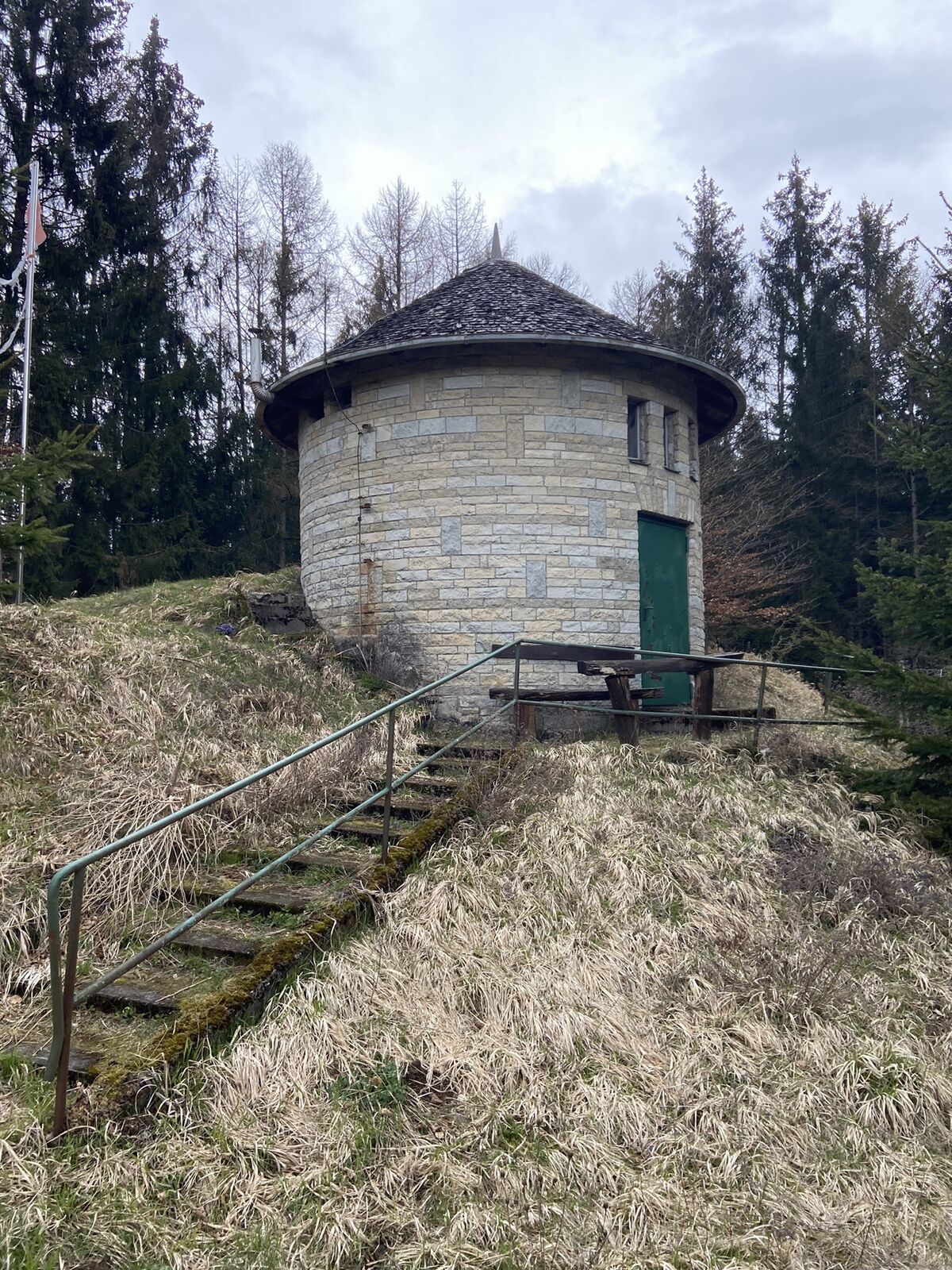
Kleiner Rundweg rund um den Gorkum (höchste Erhebung im Landkreis Lichtenfels)

Dificultad
fácil
Valoración
Técnica
Nivel
Paisaje
Experiencias

Punto álgido
577 m

2,0
Valoración global

5

0

%

4

0

%

3

0

%

2

100

%

1

0

%

GPS Downloads
  • GPX GPS Exchange Format (XML)
  • KML Google Earth, Google Maps
Códigos de descarga QR para teléfonos móviles
Más circuitos por las regiones
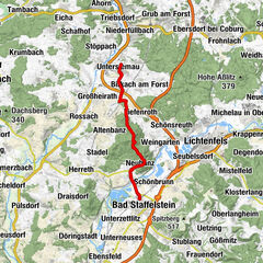
Excursiones opcionales por los alrededores

Tiefenthalschlucht, Hohler Stein und Bittmannsstein

fácil Senderismo
5,36km | 151hm | 01:22h

U8 Sagenwanderweg West - Querkelsteig

difícil Senderismo
11,39km | 160hm | 03:00h

Vierzehnheiligen und Viktor-von-Scheffel-Blick

medio Senderismo
5,34km | 138hm | 01:42h

UPla Planetenweg

medio Senderismo
12,75km | 212hm | 03:30h