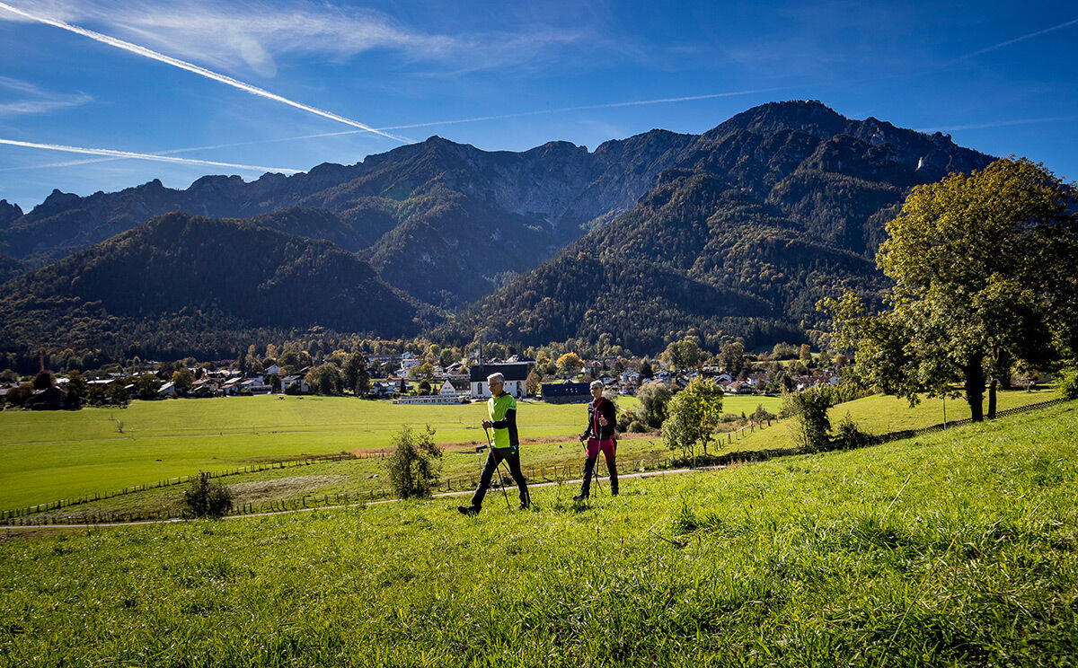
© Tourenportal Berchtesgadener Land - Bergerlebnis Berchtesgaden

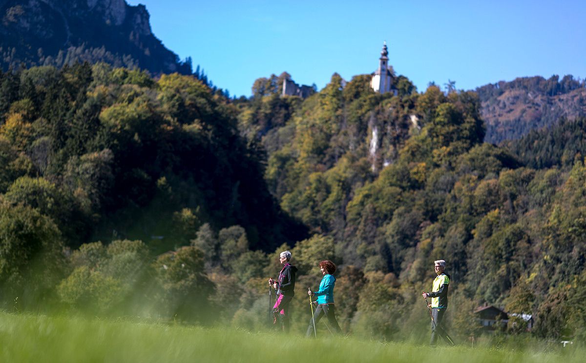
© Tourenportal Berchtesgadener Land - Bergerlebnis Berchtesgaden

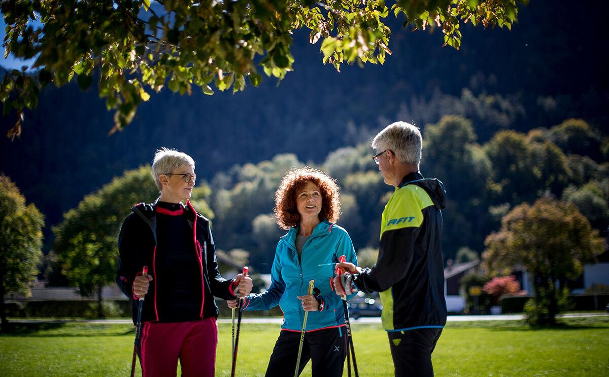
© Tourenportal Berchtesgadener Land - Bergerlebnis Berchtesgaden
Datos del tour
7,31km
463
- 653m
175hm
173hm
02:30h

- Breve descripción
- Dificultad
-
fácil
- Valoración
-
- Ruta
-
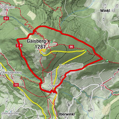
Bad Reichenhall (473 m)0,2 kmCafè Restaurant Neu Meran4,6 kmNonn5,4 kmBad Reichenhall (473 m)5,7 km
- La mejor temporada
-
enefebmarabrmayjunjulagosepoctnovdic
- Punto álgido
- 653 m
- Punto final
-
Karlstein, Bad Reichenhall
- Perfil alto
-
 © outdooractive.com
- Autor
-
La gira Listsee-Gesundheitsweg es utilizado por outdooractive.com proporcionado.
GPS Downloads


Información general
Punto de avituallamiento
Vistas panorámicas
Más circuitos por las regiones
-
Berchtesgadener Land
1607
-
Bad Reichenhall
543