Datos del tour
5,9km
762
- 811m
57hm
98hm
02:00h
- Breve descripción
-
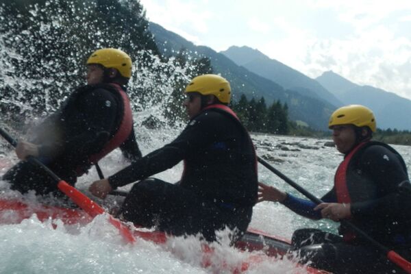
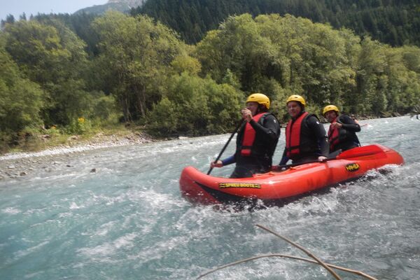
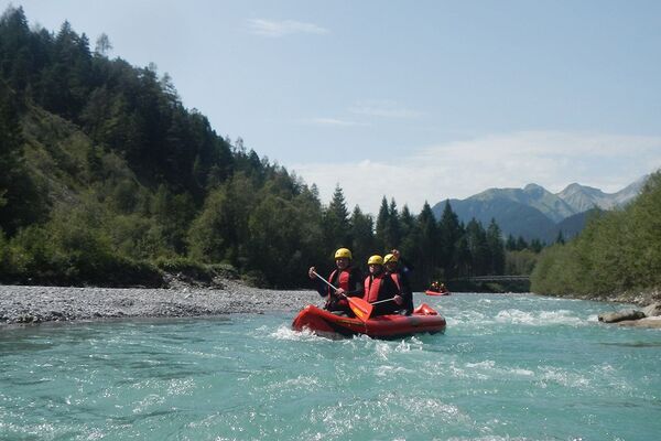
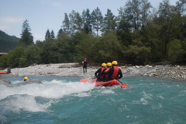
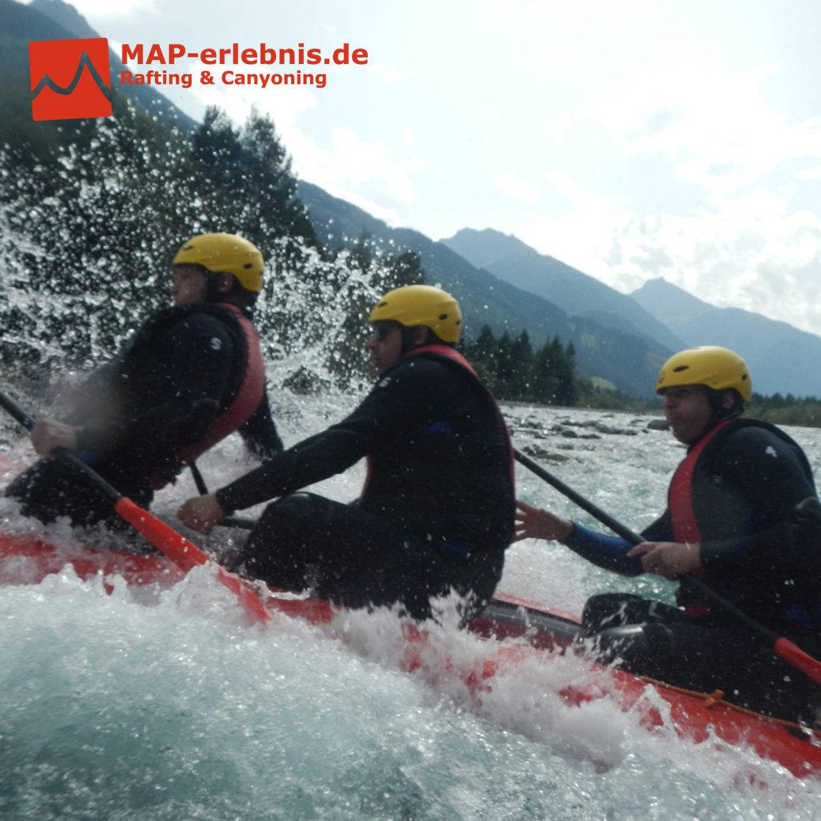
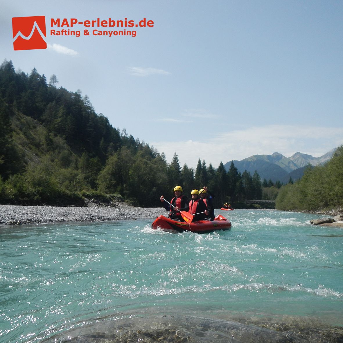
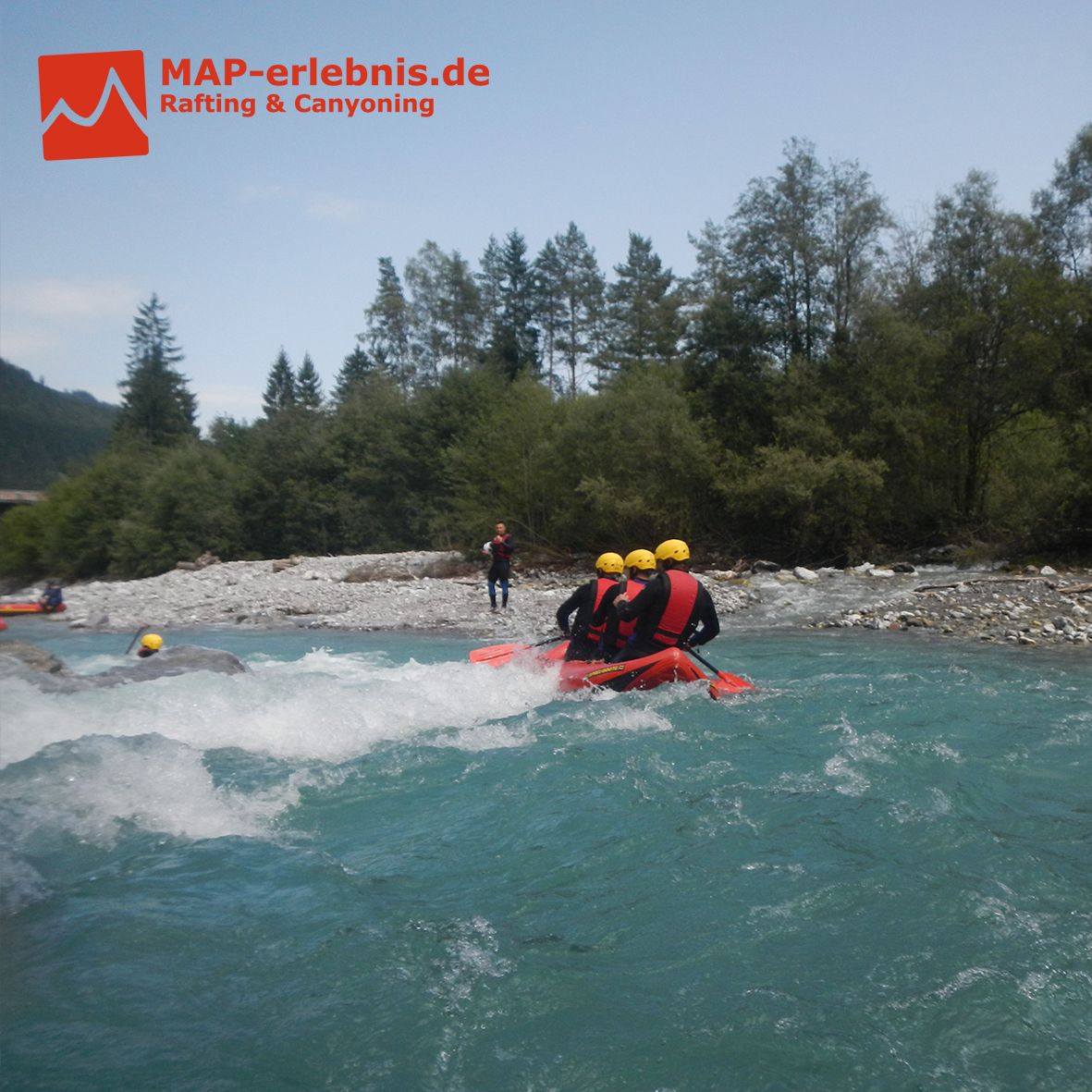
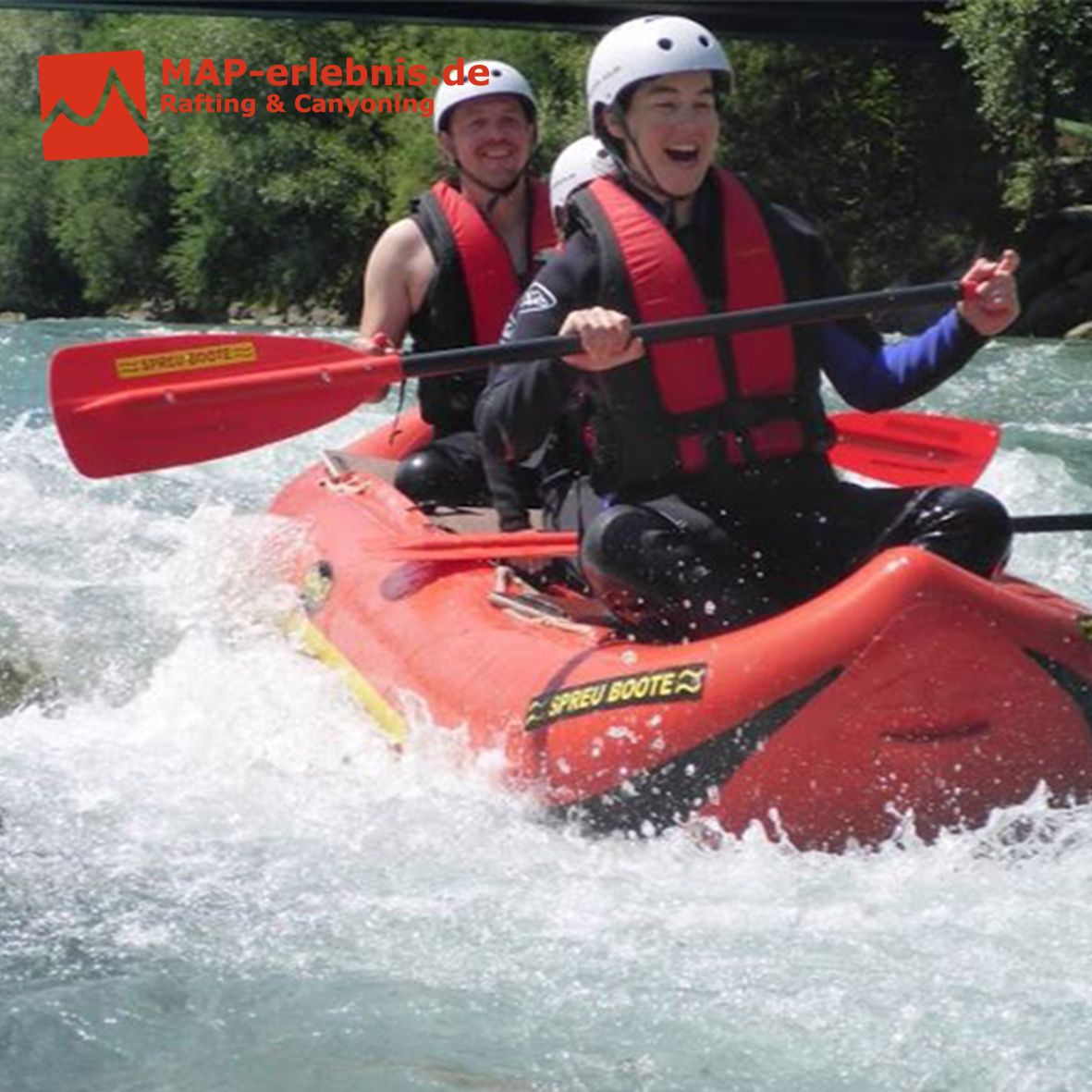
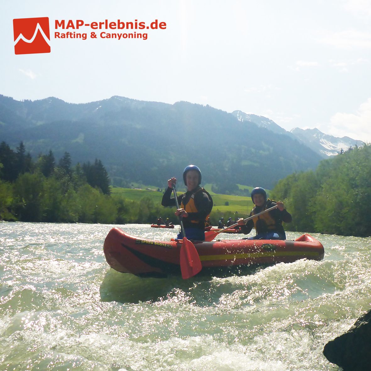
Untere Breitach mit Illerursprung
Rafting der Extraklasse im Allgäu auf der unteren Breitach und der Iller
Hast du Lust bekommen? Dann buche am Besten noch heute dein Rafting Erlebnis mit MAP-Erlebnis auf www.map-erlebnis.de
- Dificultad
-
medio
- Valoración
-
- Punto de salida
-
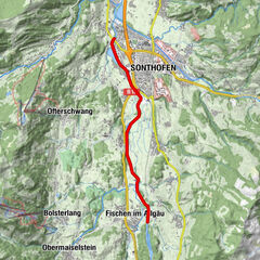
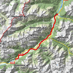
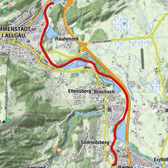
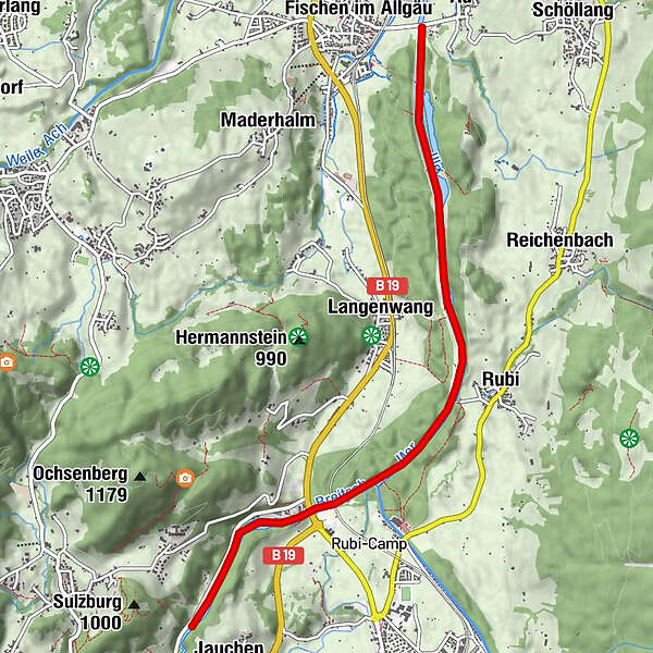
Ausgangspunkt die die MAP-Erlebnis Outdoor Station in Bihlerdorf. Einstieg zur Rafting Tour ist am Parkplatz der Breitachklamm in Tiefenbach
- La mejor temporada
-
enefebmarabrmayjunjulagosepoctnovdic
- Punto álgido
- 811 m
- Punto final
-
Zielpunkt ist der Wanderparkplatz in Fischen (kostenpflichtig mit 1€ für 3 Stunden)
- Descanso/Avituallamiento
-
Restaurant "Zum Schiff" an der Outdoor Station von MAP-Erlebnis in Bihlerdorf
- Información
- Material cartográfico

- Teléfono de información
-
0049 176 700 77777
- Link
- http://www.map-erlebnis.de/rafting-allgaeu/cana...
- Fuente
- Sebastian Drexler
GPS Downloads


Más circuitos por las regiones