Camino de Santiago from Missen to Lindau, respectively Nonnenhorn (main route)

Camino de peregrinación

© Landkreis Lindau (Bodensee) - Rolf Brenner
© Gemeinde Stiefenhofen, Thomas Gretler - Landratsamt Lindau (Bodensee)

© Landkreis Lindau (Bodensee) - Thomas Gretler
© Gemeinde Stiefenhofen, Thomas Gretler - Landratsamt Lindau (Bodensee)
© Markt Scheidegg, Thomas Gretler - Landratsamt Lindau (Bodensee)
© Markt Scheidegg, Thomas Gretler - Landratsamt Lindau (Bodensee)
© Markt Scheidegg, Thomas Gretler - Landratsamt Lindau (Bodensee)
© Gemeinde Sigmarszell - Landratsamt Lindau (Bodensee)
© Gemeinde Sigmarszell - Landratsamt Lindau (Bodensee)
© Tourist-Information Wasserburg - Landratsamt Lindau (Bodensee)

")
- Breve descripción
-
Going on a pilgrimage between the Allgaeu and the Lake Constance
The Camino de Santiago in the district of Lindau is part of the Munich, respectively the Augsburg Camino de Santiago.
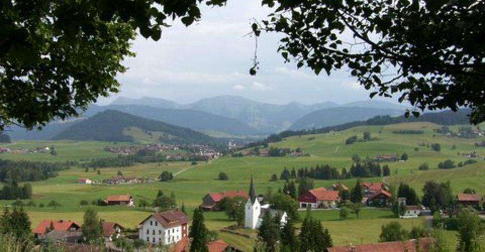
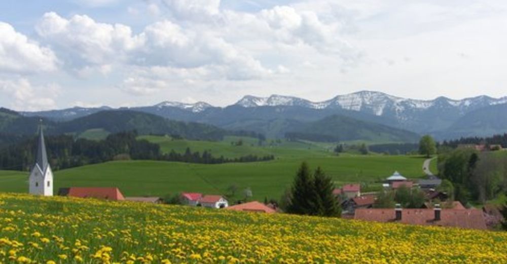
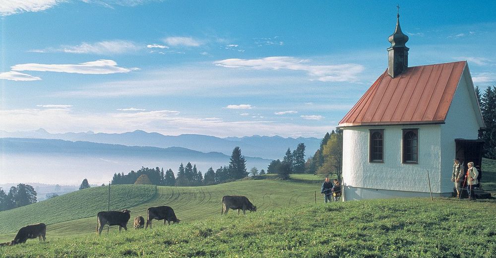
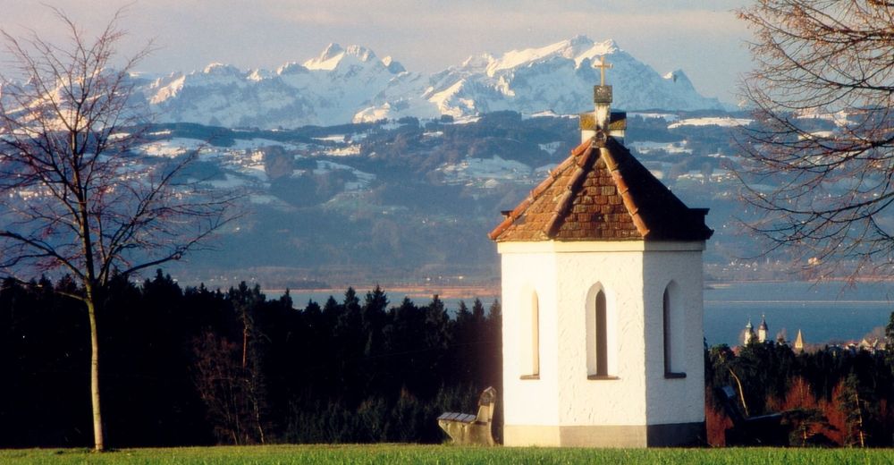
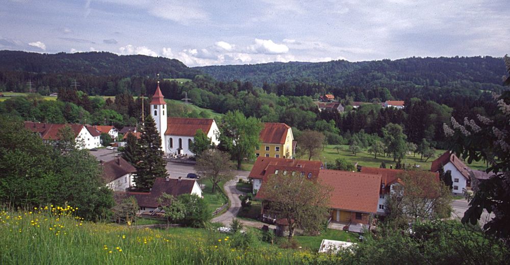
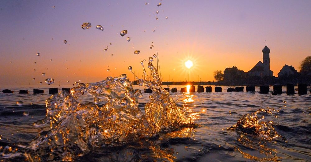
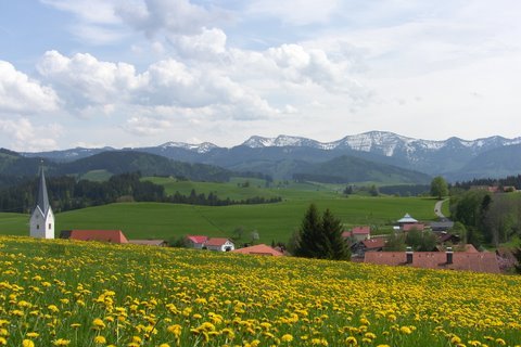
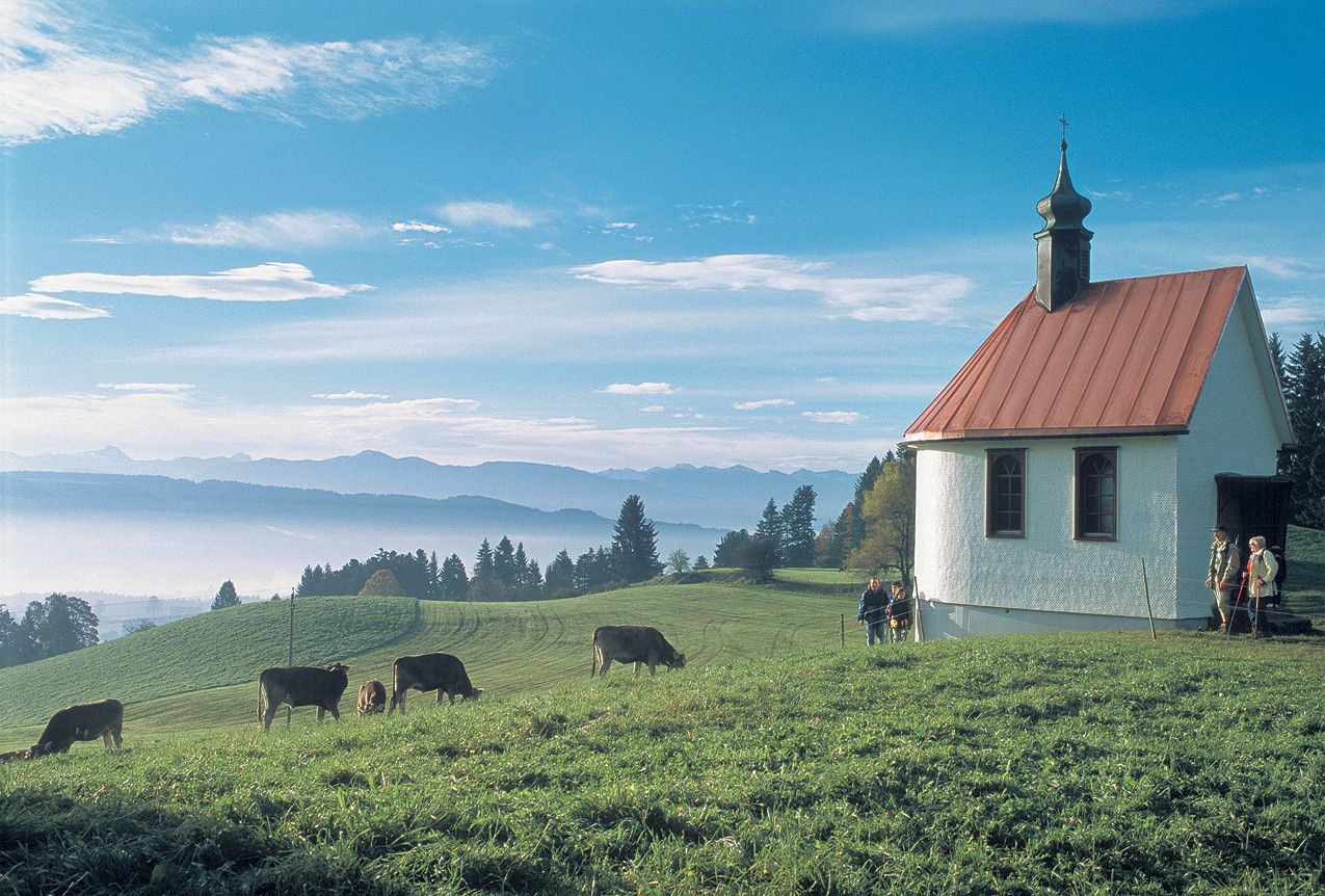
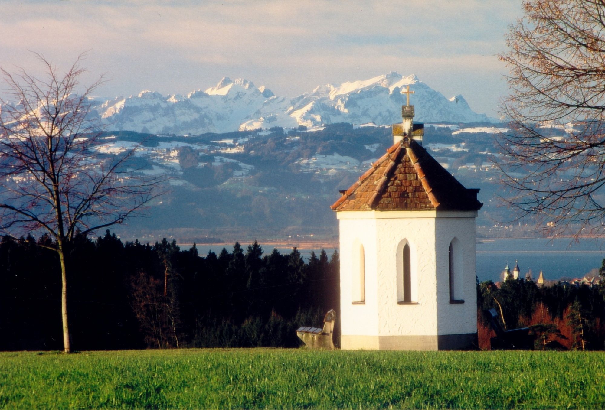
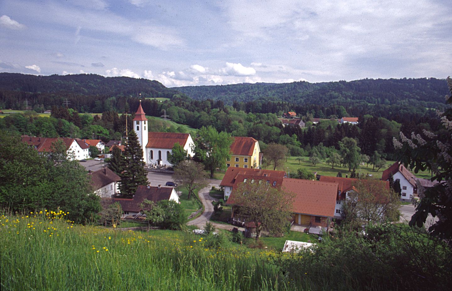
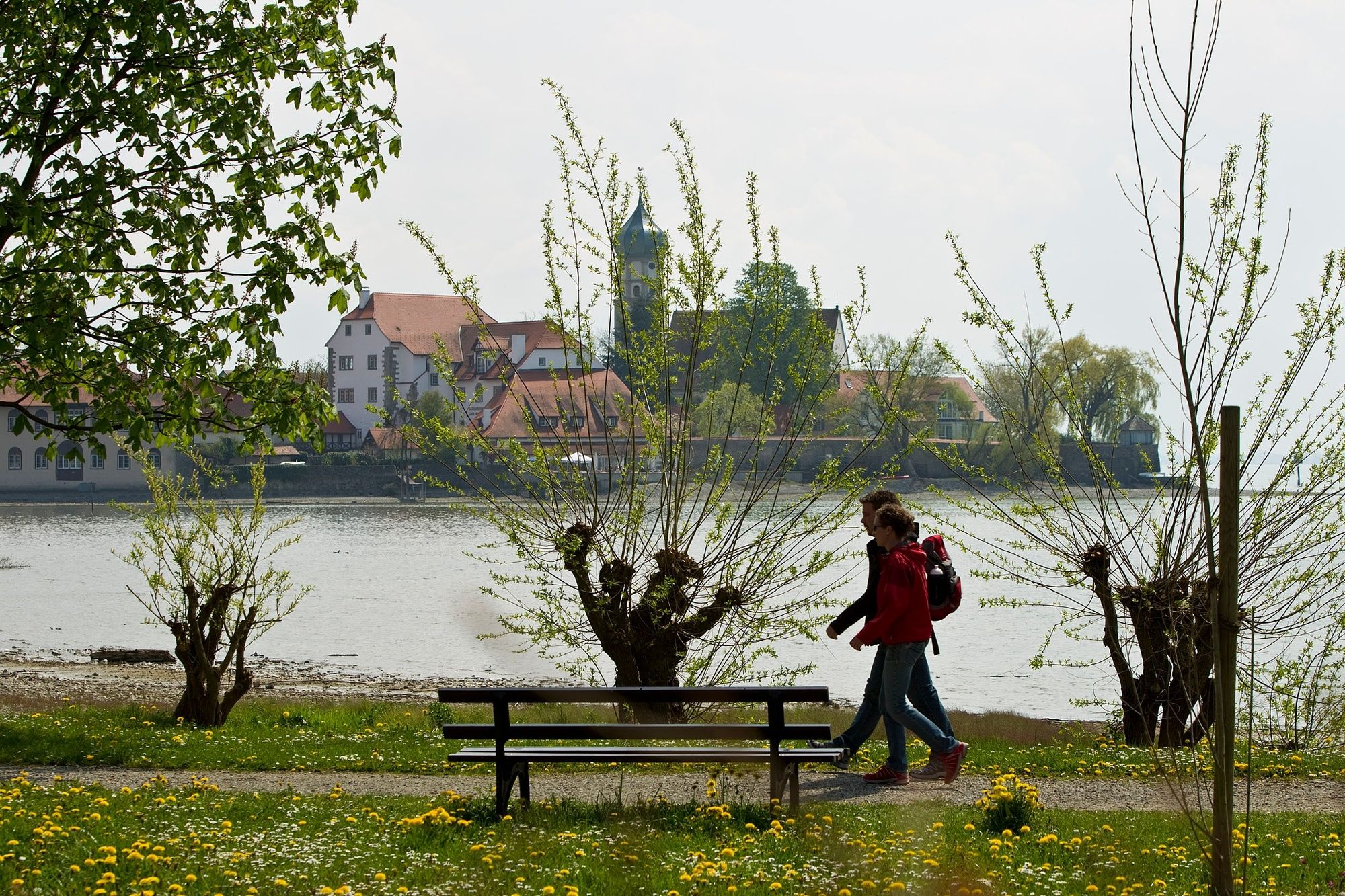
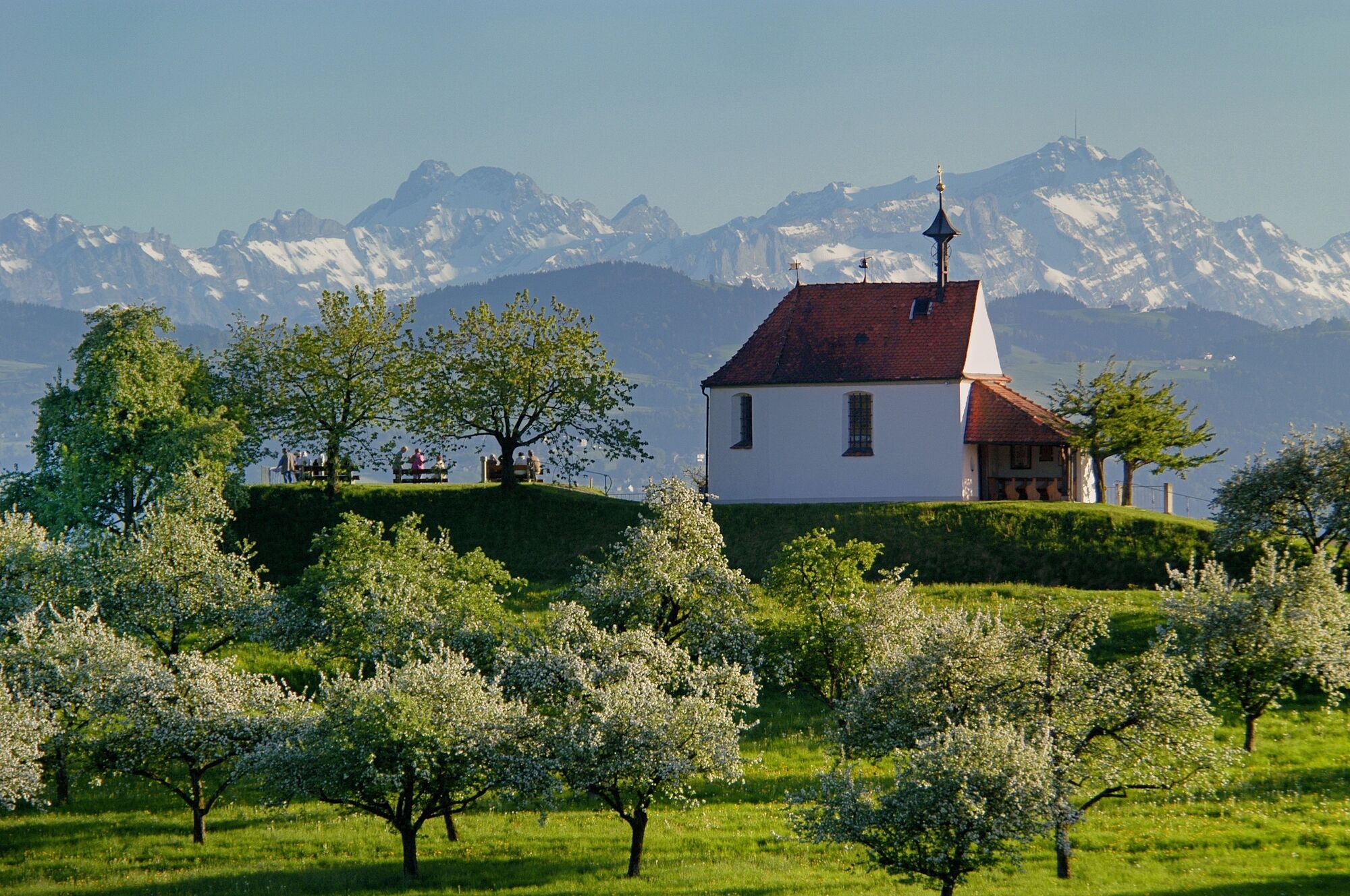
You're accompanied by neat chapels, lush green meadows in the pre-alpine landscape of the Western Allgaeu, blooming orchards and vineyards at the Lake Constance with marvellous views: the Camino de Santiago between the Western Allgaeu and Lake Constance invites you to rest, reflect and pray. - Dificultad
-
difícil
- Valoración
-
- Ruta
-
Aigis1,6 kmGeratsried4,1 kmHl. Maria4,1 kmAlpe Rote Heide5,9 kmTrabers6,6 kmMutten8,3 kmZell10,5 kmSt. Bartholomäus10,5 kmWolfsried12,3 kmGenhofen13,4 kmAich14,0 kmHopfen16,0 kmBurkatshofen17,8 kmNagelshub19,0 kmFiedhofskapelle20,3 kmOberleute20,6 kmSimmerberg20,6 kmKrone20,6 kmSt. Anton21,4 kmRieder21,5 kmHasenried22,3 kmLourdeskapelle23,6 kmWeiler im Allgäu24,1 kmBremenried25,5 kmHellers26,6 kmHl. Helena Kapelle26,8 kmAltenburg26,9 kmKapfreute27,5 kmBux27,7 kmForstenhäuser28,1 kmBöserscheidegg28,6 kmKatherina und Antonius Kapelle28,8 kmSchalkenried29,7 kmMartina Kapelle29,8 kmAblers30,0 kmGalluskapelle31,3 kmScheidegg32,0 kmBieslings32,8 kmGallus und Magnus Kapelle32,9 kmAllmannsried34,3 kmRappenfluh34,7 kmFeriendorf Saarland35,6 kmLötz36,1 kmSt. Wendelinskapelle36,5 kmKinberg36,8 kmHaggen37,8 kmAdelberg38,5 kmGeislehen39,7 kmSt. Peter und Paul40,0 kmNiederstaufen40,1 kmKnochenmühle41,3 kmDornach44,4 kmSt. Gallus45,0 kmSigmarszell45,0 kmBiesings45,4 kmSchlachters46,5 kmMarienkapelle48,4 kmWeißensberg48,6 kmOberhof48,7 kmStreitelsfingen50,4 kmMotzach50,5 kmWannental51,3 kmOberreutin52,1 kmLindau (Bodensee) (401 m)54,1 kmSt. Stephan54,6 kmInsel54,7 kmBad Schachen57,6 kmReutenen59,5 kmWilhelmshöhe59,6 kmJakobus-Kapelle59,7 kmWasserburg - Bodensee60,9 kmNonnenhorn63,5 km
- La mejor temporada
-
enefebmarabrmayjunjulagosepoctnovdic
- Punto álgido
- 942 m
- Punto final
-
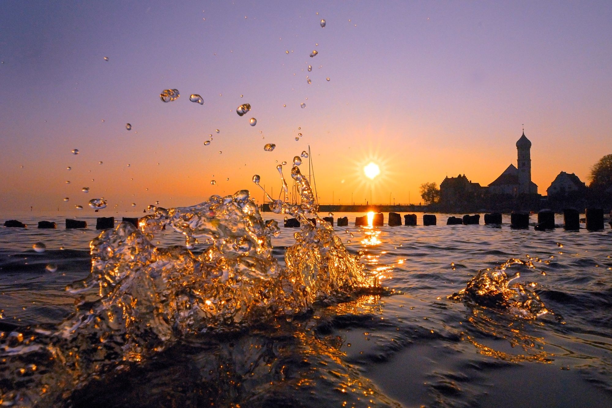
Lindau, respectively Nonnenhorn
- Perfil alto
-
 © outdooractive.com


- Autor
-
La gira Camino de Santiago from Missen to Lindau, respectively Nonnenhorn (main route) es utilizado por outdooractive.com proporcionado.
GPS Downloads


Información general
Punto de avituallamiento
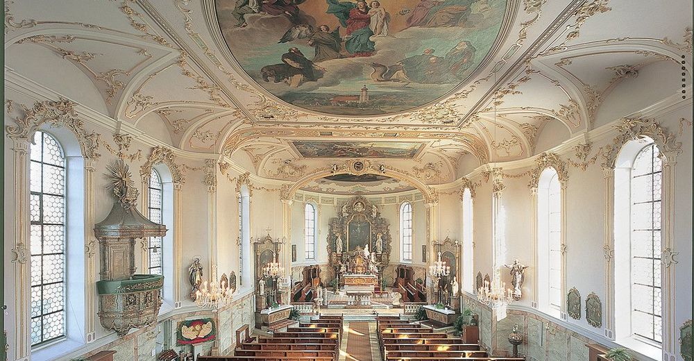
Cultural/Histórico
Vistas panorámicas
Más circuitos por las regiones
-
Bodensee - Deutschland
1103
-
Westallgäu
1262
-
Scheidegg
380

