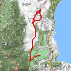
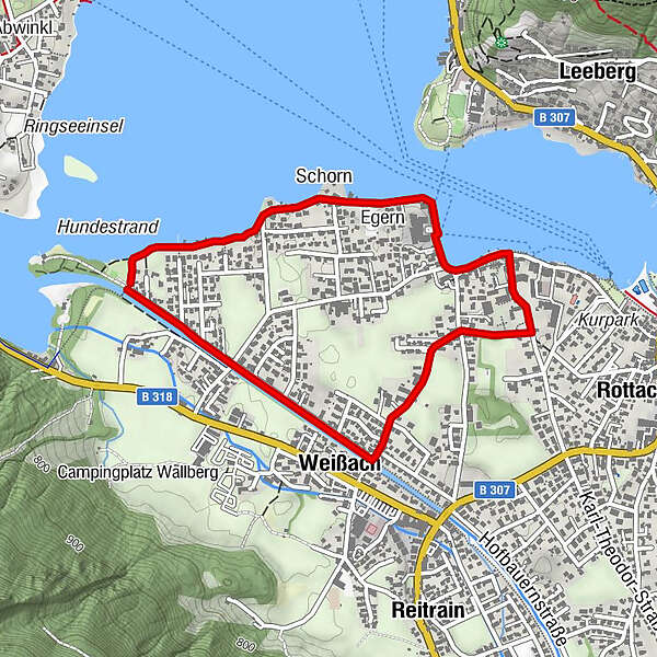
Westliche Rottach-Egern Runde (Terrainkurweg)

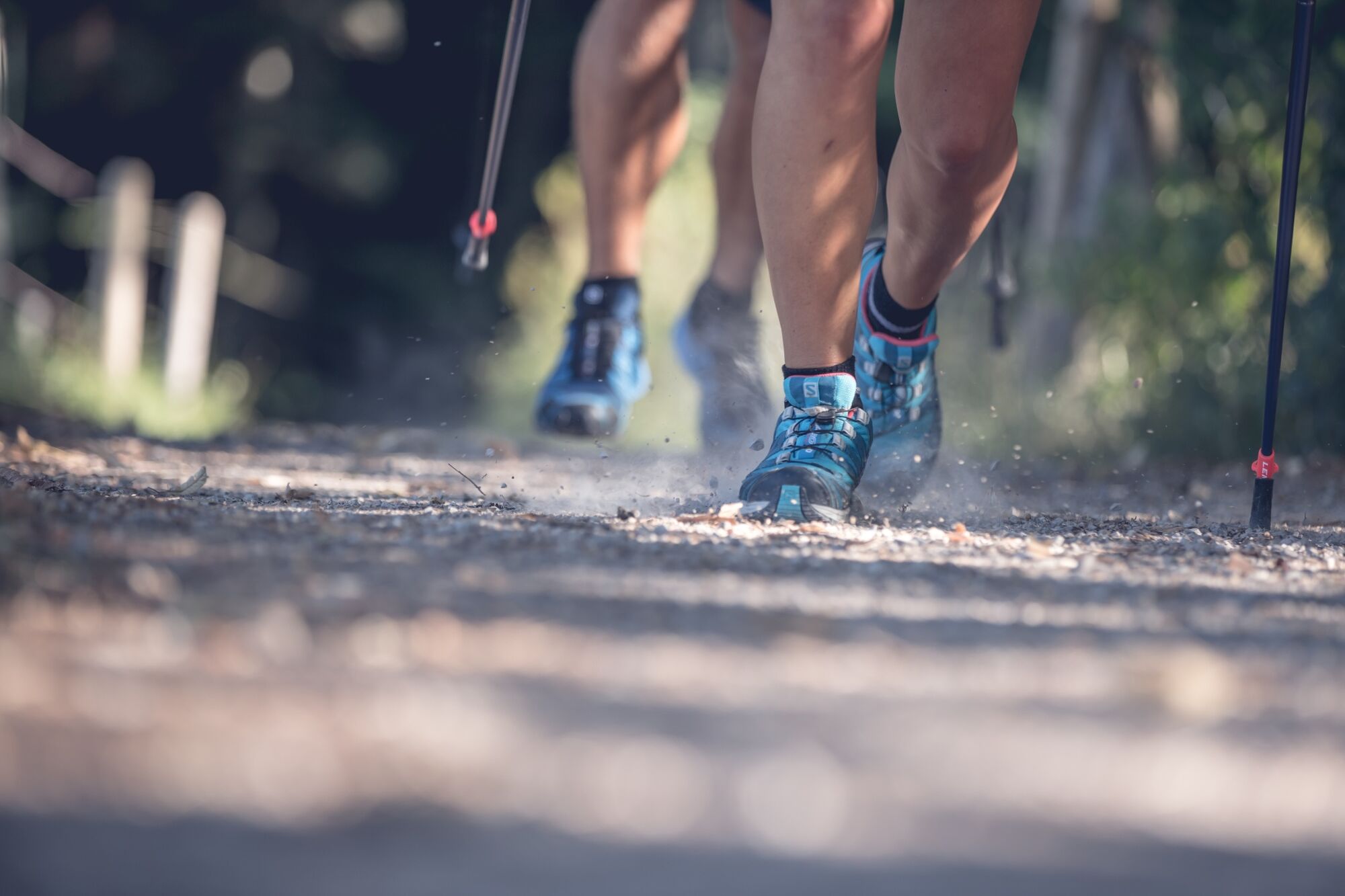
Nordic Walking

© Tegernseer Tal Tourismus GmbH - Stefanie Pfeiler

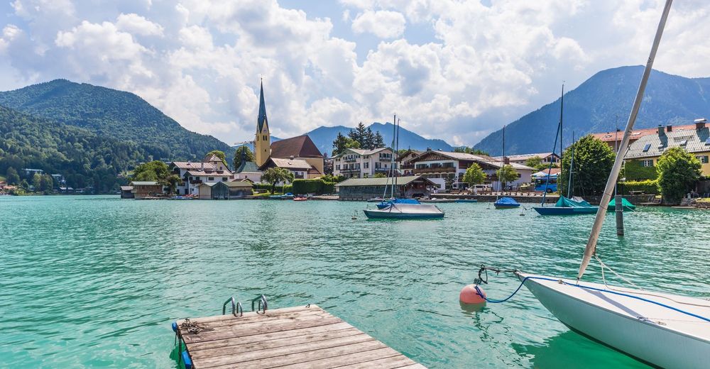
© DER TEGERNSEE - Dietmar Denger

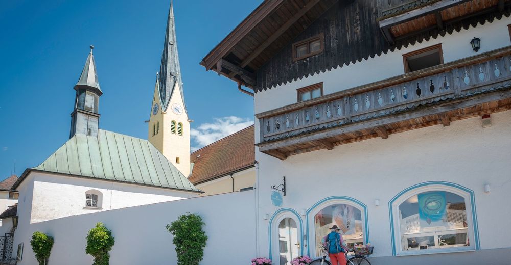
© DER TEGERNSEE - Andreas Kimpfbeck

© DER TEGERNSEE - Sabine Ziegler-Musiol
© Tegernseer Tal Tourismus GmbH (Dietmar Denger) - Stefanie Pfeiler
© Tegernseer Tal Tourismus GmbH (Dietmar Denger) - Stefanie Pfeiler
© Alpenregion Tegernsee Schliersee - Stefanie Pfeiler

- Breve descripción
-
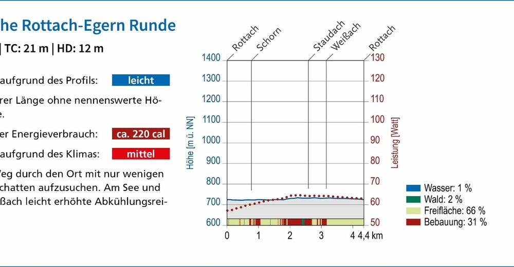
Leichter Rundweg von 4,4 km Länge und mit Steigungen von insgesamt 21 Höhenmetern.
- Dificultad
-
fácil
- Valoración
-
- Ruta
-
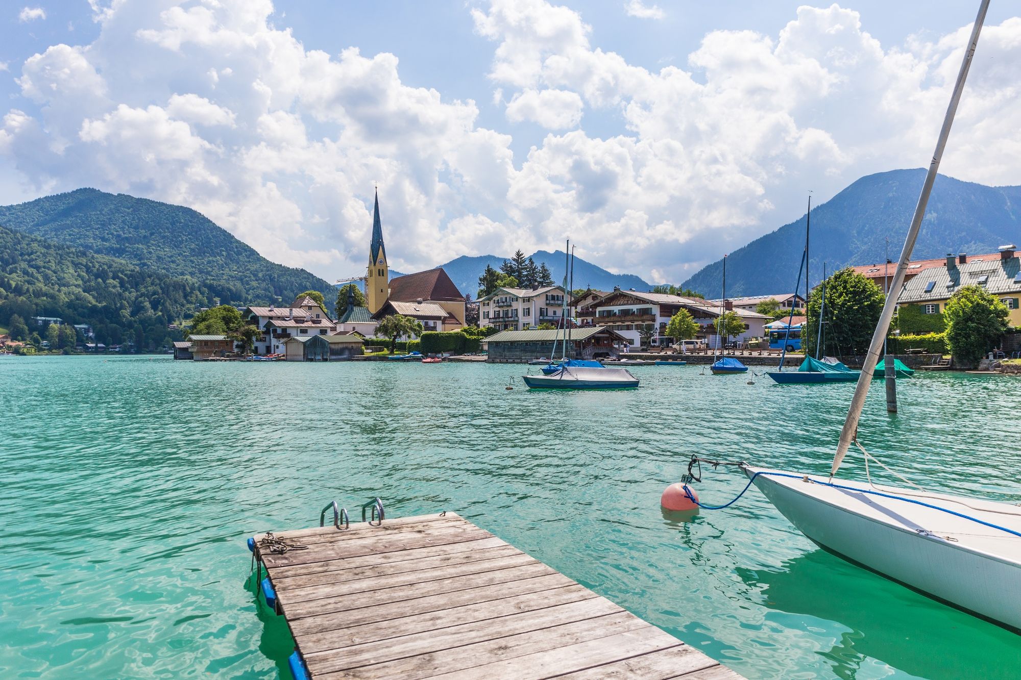
Schorn0,9 kmEgern (734 m)1,1 kmRottach-Egern Überfahrt1,4 kmSt. Laurentius1,8 kmAuferstehungskirche2,2 kmRottach-Egern2,2 kmWeißach3,1 km
- La mejor temporada
-
enefebmarabrmayjunjulagosepoctnovdic
- Punto álgido
- 734 m
- Punto final
-
Rottach-Egern, Weißachdamm
- Perfil alto
-
 © outdooractive.com


-

-
AutorLa gira Westliche Rottach-Egern Runde (Terrainkurweg) es utilizado por outdooractive.com proporcionado.
GPS Downloads


Información general
Punto de avituallamiento
Clima saludable
Vistas panorámicas
Más circuitos por las regiones