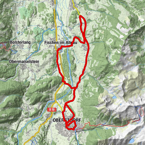
Datos del tour
23,19km
757
- 875m
226hm
228hm
01:05h
- Breve descripción
-
Kurze Tour mal schnell nach Feierabend
- Dificultad
-
fácil
- Valoración
-
- Ruta
-
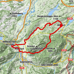
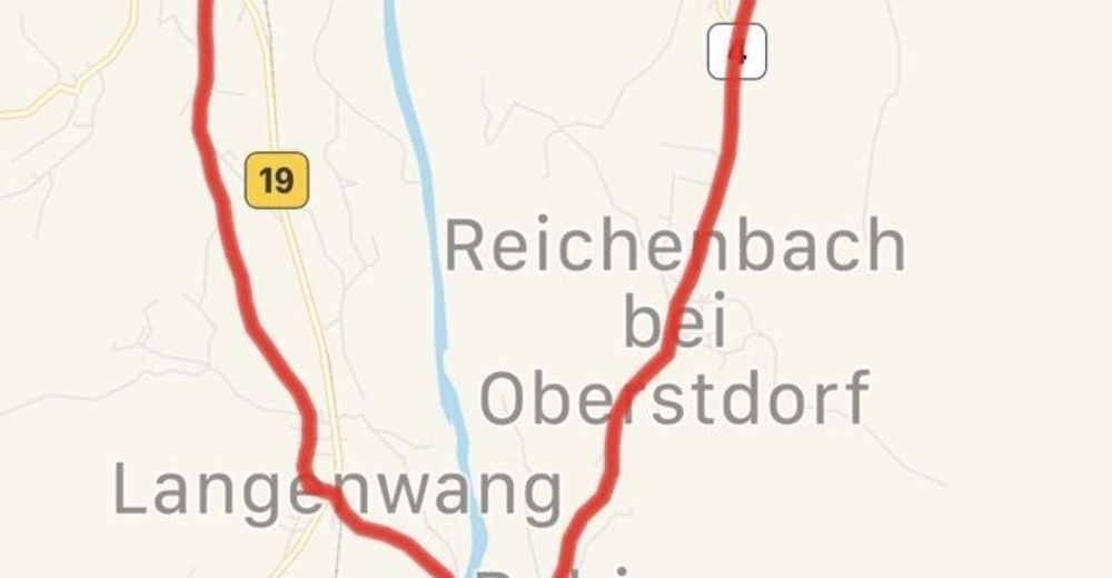
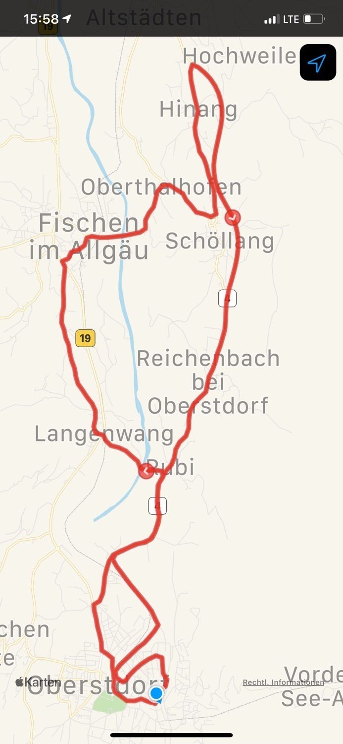
Oberstdorf (813 m)1,5 kmCamping Klause3,2 kmRubi4,7 kmRubihorn Gasthof4,8 kmLangenwang (Schwaben)5,7 kmLangenwang6,1 kmFischen im Allgäu8,8 kmSt. Verena8,8 kmSankt Johannes Nepomuk9,4 kmAu9,6 kmOberthalhofen10,3 kmSchöllang11,1 kmSt. Martin12,6 kmHinang12,6 kmSchöllang15,5 kmReichenbach17,5 kmAlmenhof18,6 kmRubi18,7 kmSt. Anna18,8 kmRubihorn Gasthof18,9 kmCamping Klause20,3 kmMurmeles-Kreisel21,7 kmOberstdorf (813 m)22,0 kmSt. Johannes Baptist22,5 km
- Punto álgido
- 875 m
GPS Downloads


Más circuitos por las regiones
-
Allgäu
188
-
Alpsee-Grünten
133
-
Fischen im Allgäu / Hörnerdörfer
24