

© Banskobystrický kraj Turizmus - Linda Ágoštonová

© Banskobystrický kraj Turizmus - Linda Ágoštonová

© Banskobystrický kraj Turizmus - Linda Ágoštonová

© Banskobystrický kraj Turizmus - Linda Ágoštonová

© Lukáš Pelč

© Lukáš Pelč

© Banskobystrický kraj Turizmus - Linda Ágoštonová

© Banskobystrický kraj Turizmus - Martina Mlynaričová

© Banskobystrický kraj Turizmus - Martina Mlynaričová

© Banskobystrický kraj Turizmus - Martina Mlynaričová
- Breve descripción
-
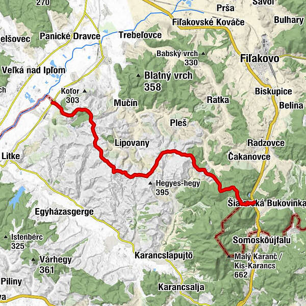
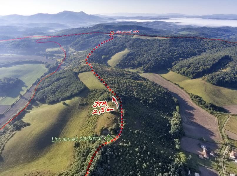
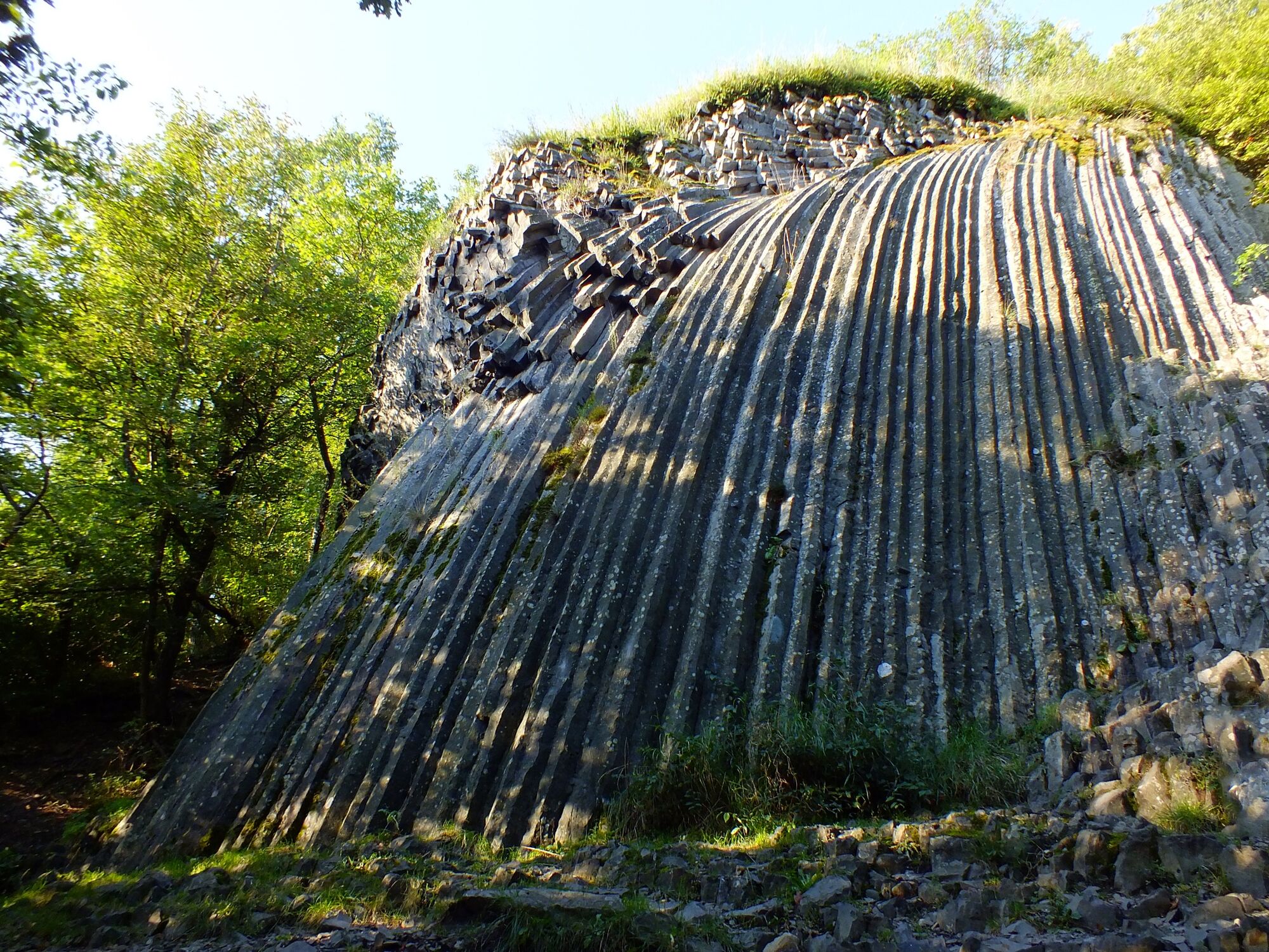
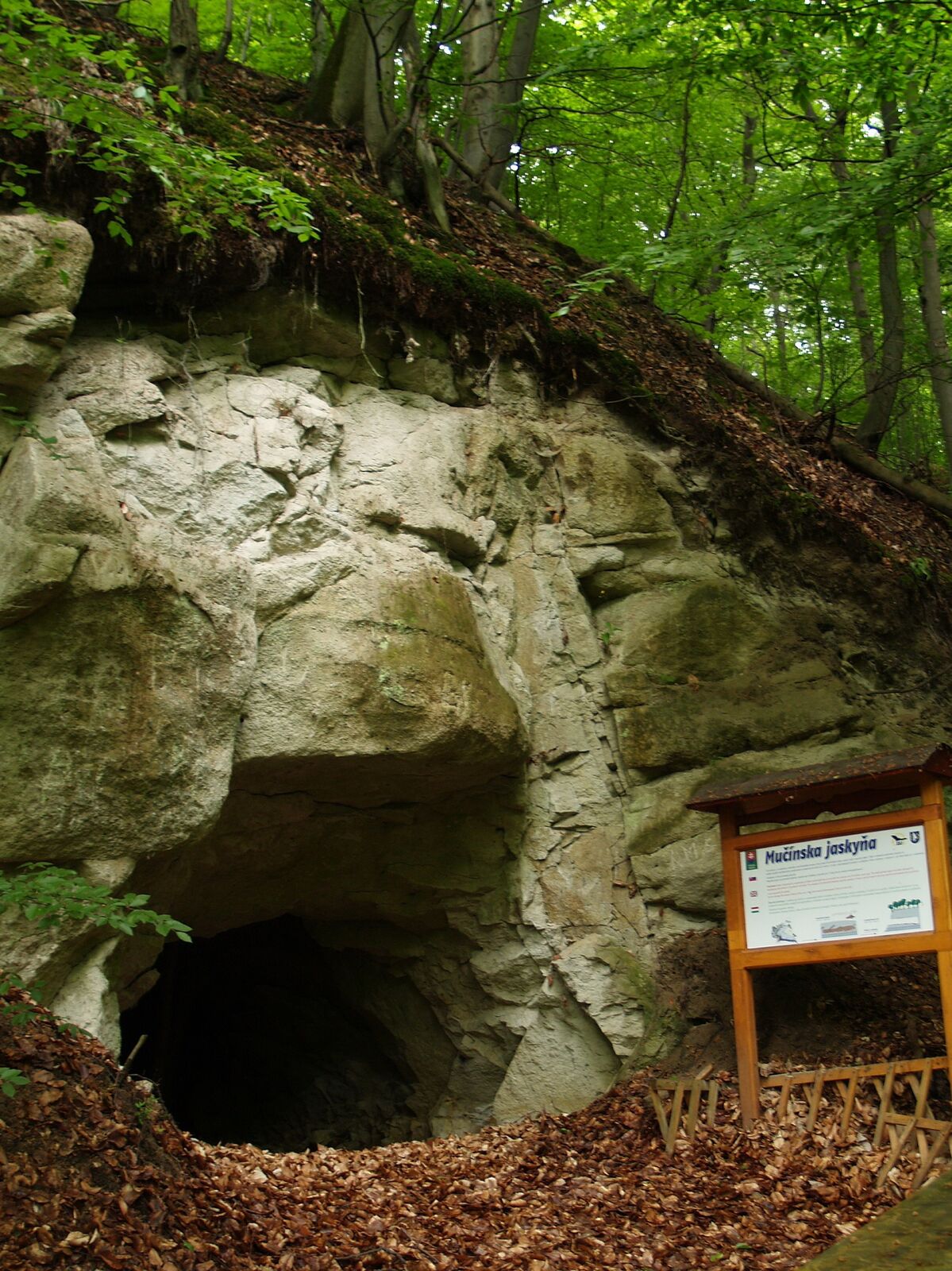
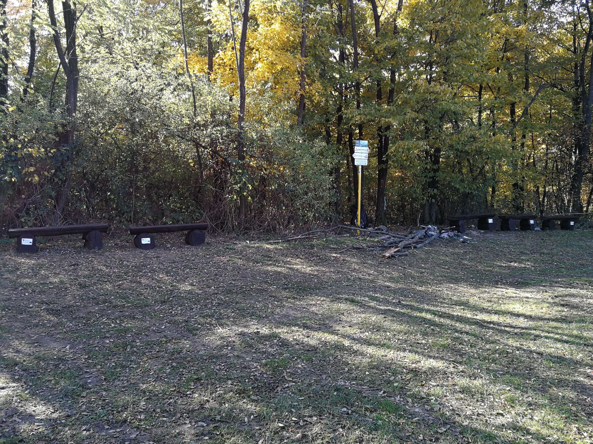
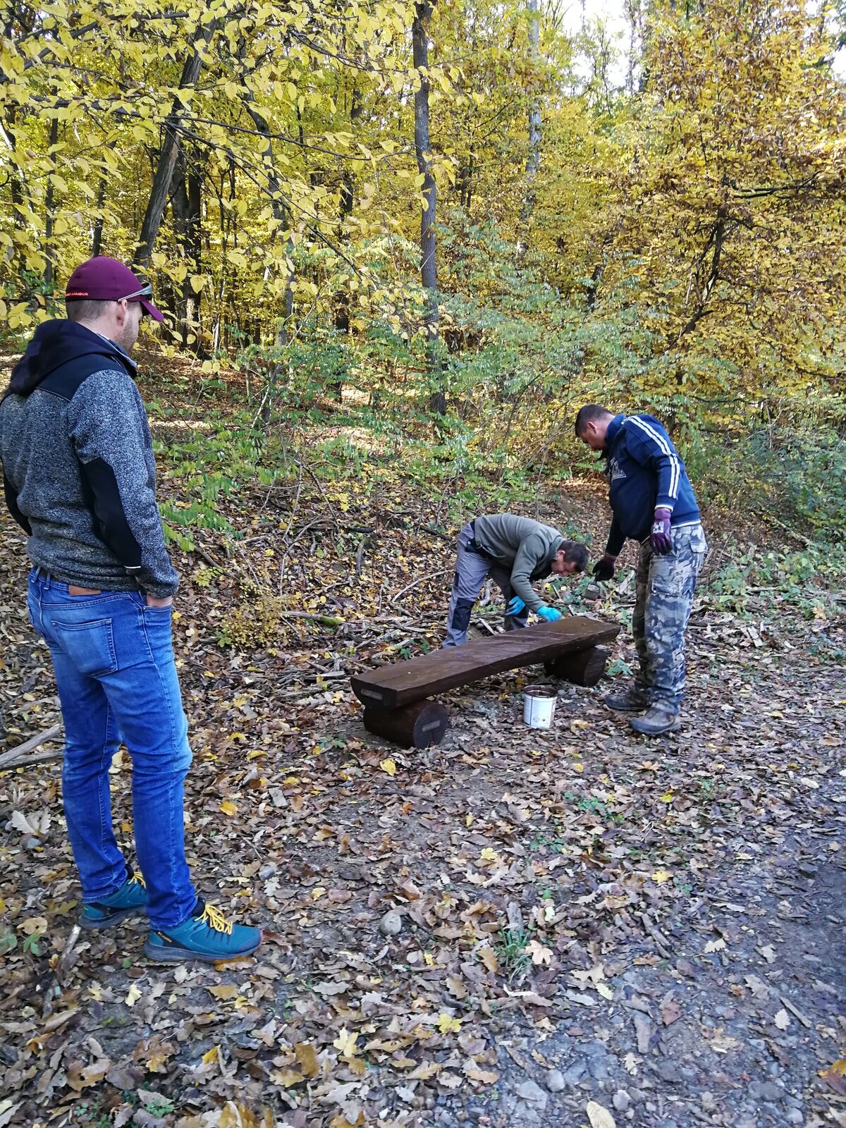
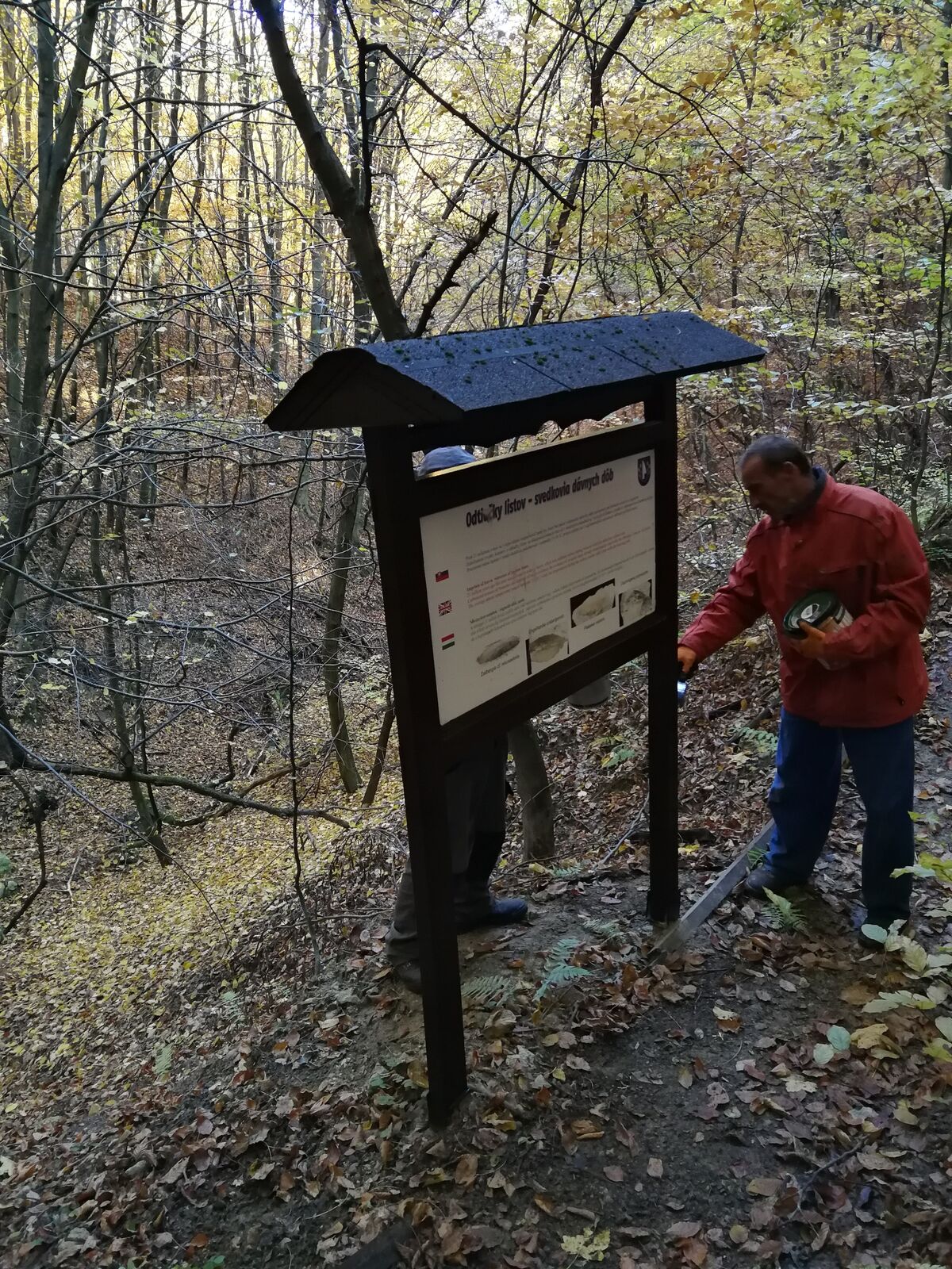
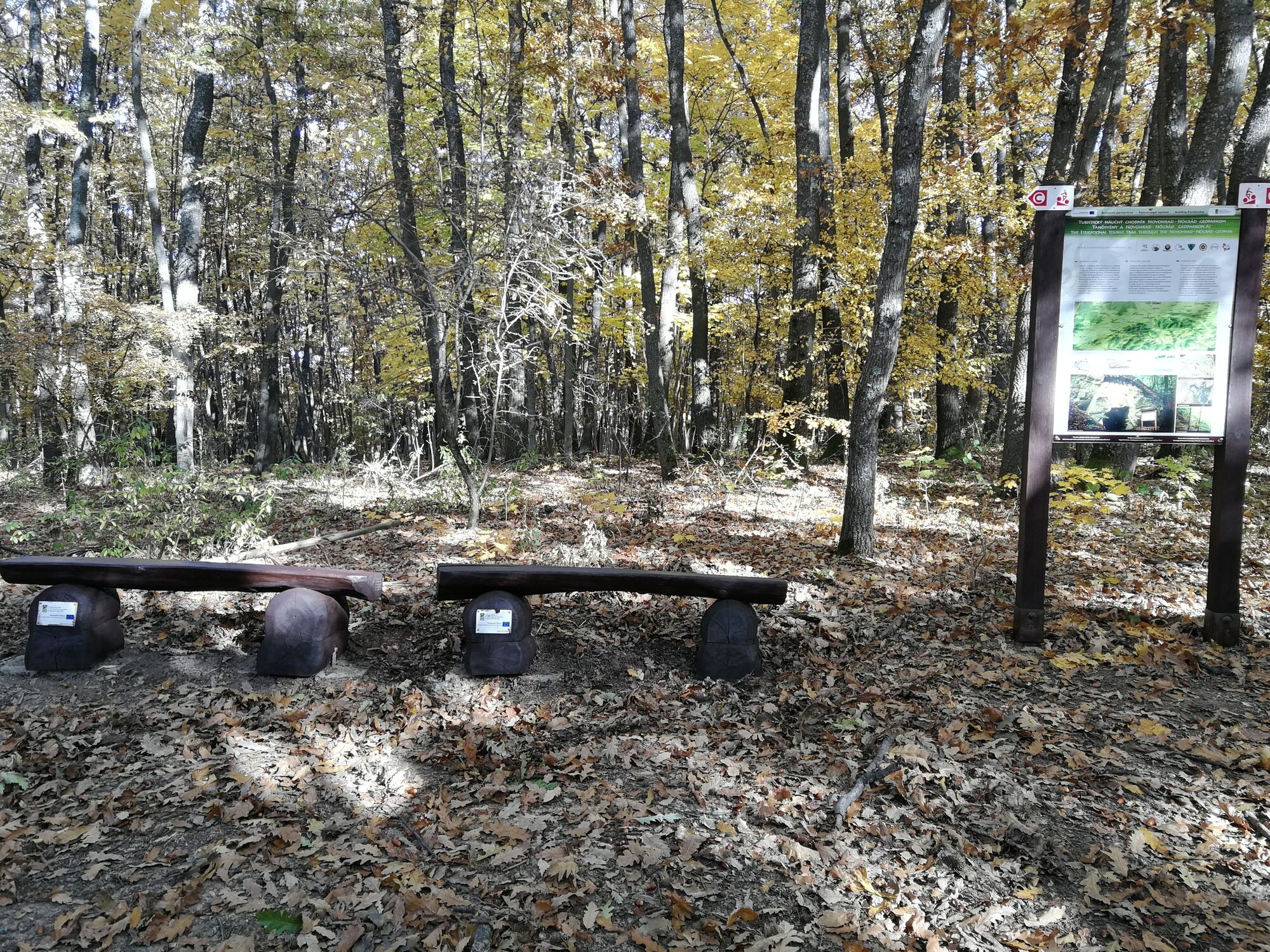
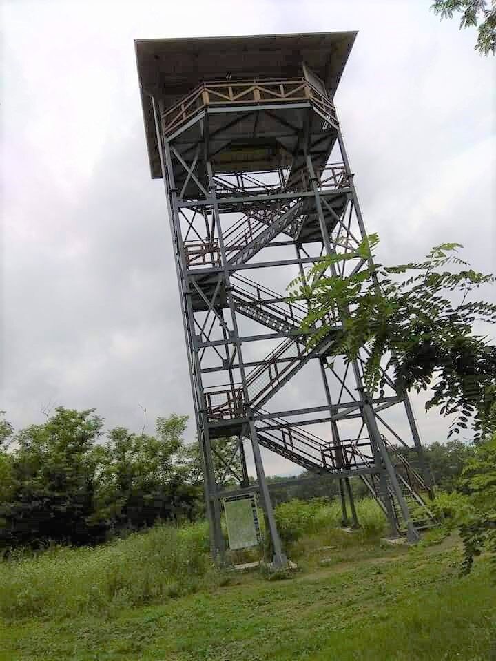
This 24 km long nature trail runs through Novohrad Geopark, mostly along the state border between Šomoška Castle and the Hungarian village of Ipolytarnóc, with a rare palaeontological site. It has 48 rest and information stops and there is an almost 20m high lookout tower above Lipovany.
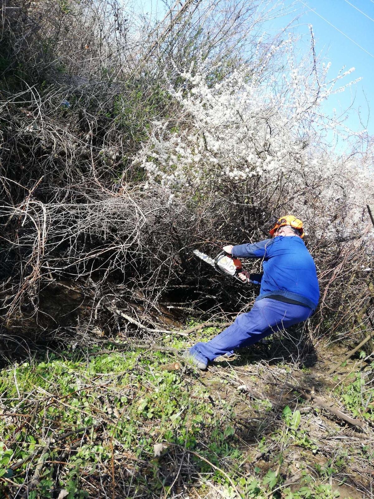
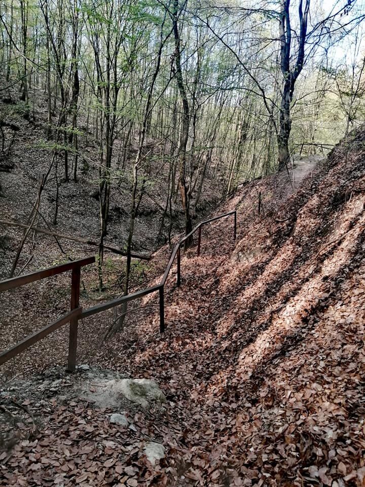
The trail is designed for both pedestrians and cyclists. It leads through picturesque countryside where there are no asphalt roads and therefore cycling should be adapted to the terrain.
- Dificultad
-
medio
- Valoración
-
- Ruta
-
Tri duby (322 m)4,0 kmZadná Hoľa4,7 kmHoľa5,4 kmNagy-Hallgató (391 m)8,0 kmPočúvadlo (391 m)8,1 kmHladovec (347 m)13,7 kmNagy-Arany-hegy (464 m)18,0 kmTri chotáre (446 m)19,2 km
- La mejor temporada
-
enefebmarabrmayjunjulagosepoctnovdic
- Punto álgido
- 448 m
- Perfil alto
-
 © outdooractive.com


- Autor
-
La gira The Southern Tourist Highway es utilizado por outdooractive.com proporcionado.
GPS Downloads


Información general
Punto de avituallamiento
Cultural/Histórico
Flora
Fauna
Vistas panorámicas