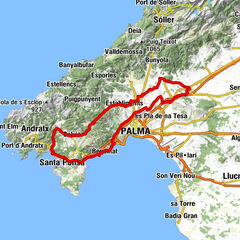
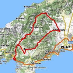
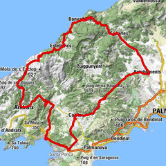
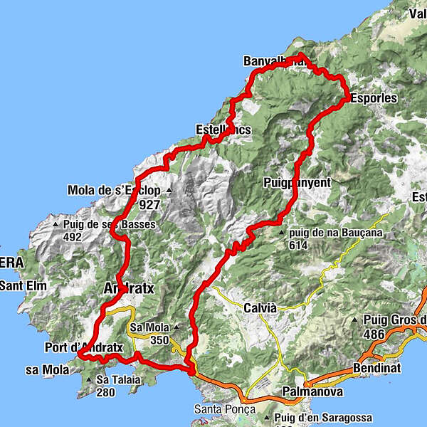
Via Galilea through the Tramuntana and along the west coast from Paguera
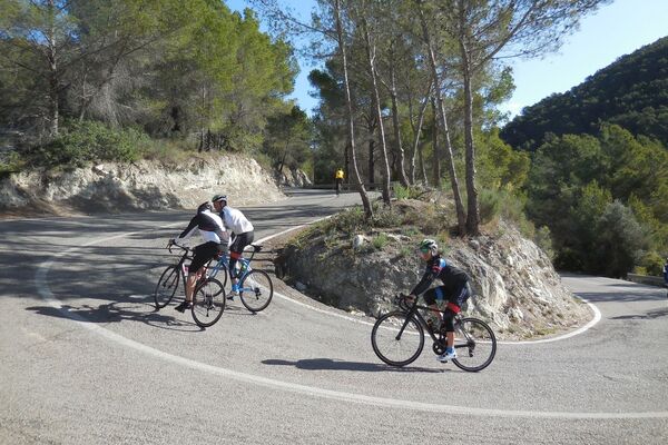
Ciclismo de carrera


- Breve descripción
-
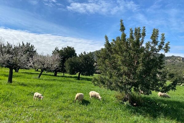
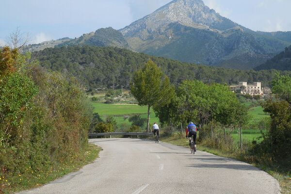
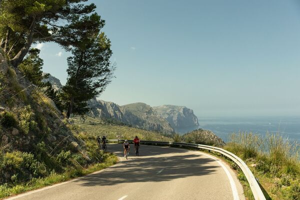
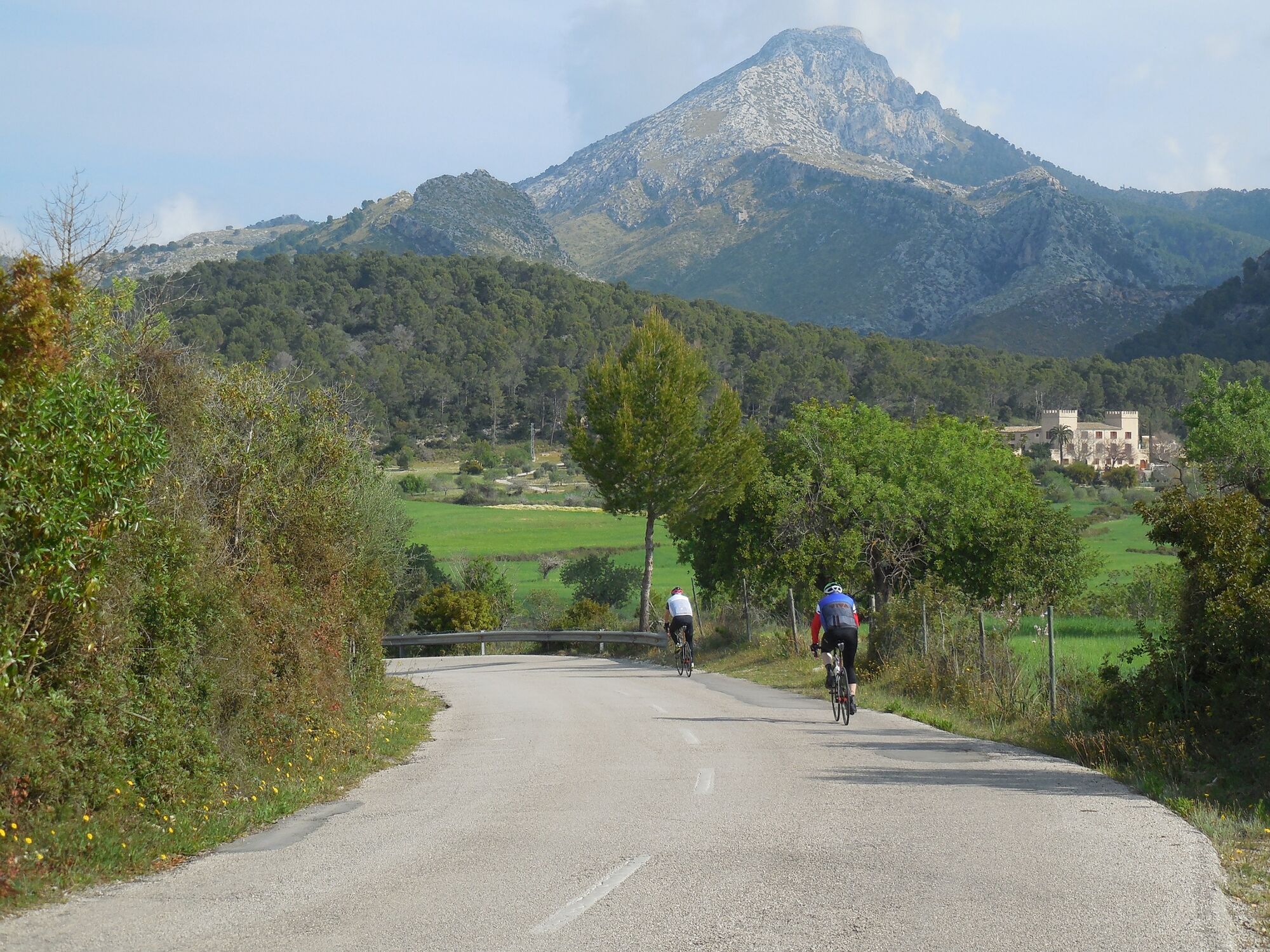
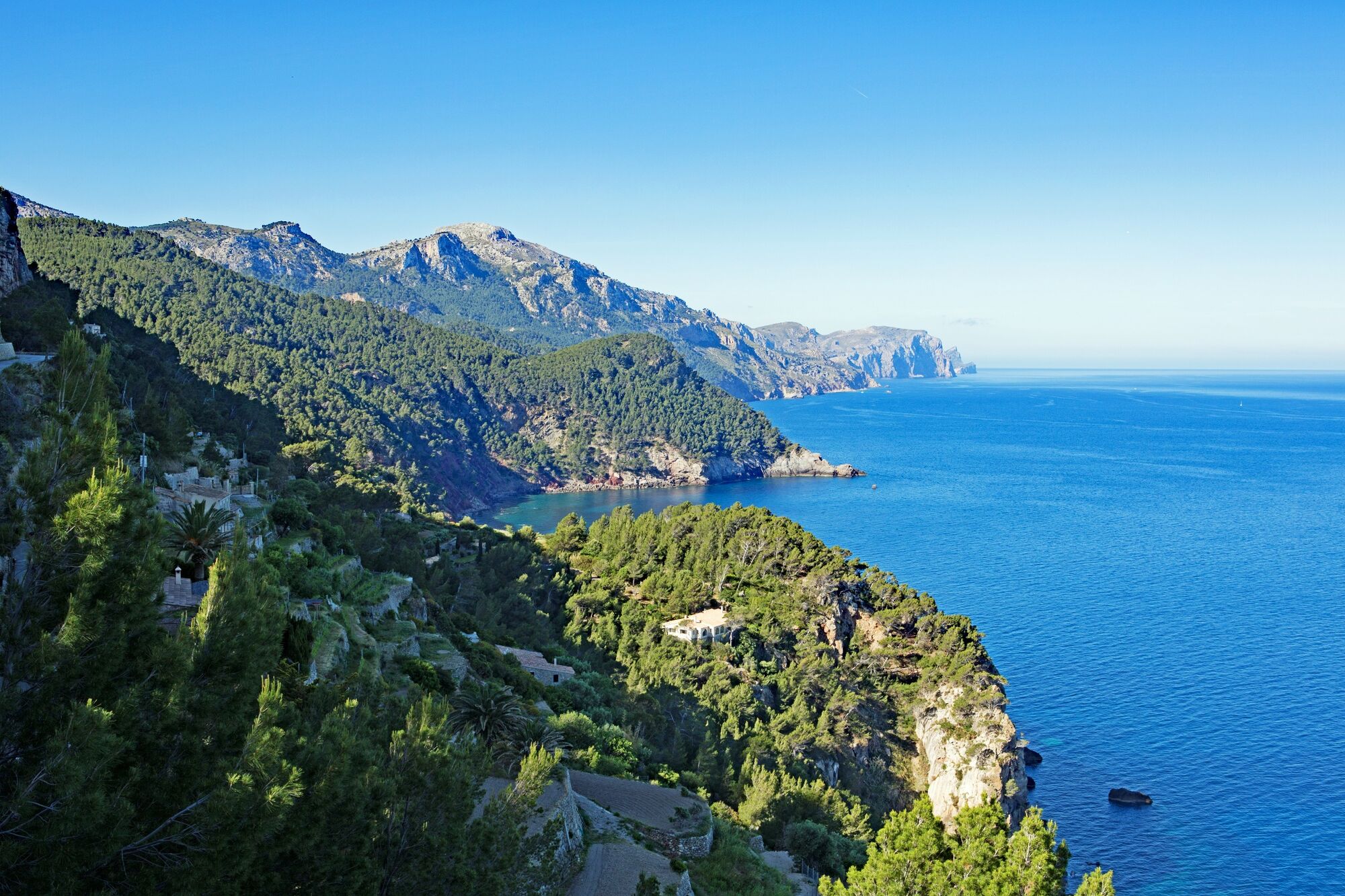
Fantastic tour through the Tramuntana mountains and back along the stunning west coast.
- Dificultad
-
difícil
- Valoración
-
- Ruta
-
Peguera (11 m)1,1 kmPla des Pou2,7 kmes Molí5,8 kmes Capdellà6,3 kmSa Coma Calenta9,5 kmes Colls12,0 kmGalilea13,5 kmGalilea (474 m)13,8 kmCa n'Andreu13,8 kmLa Puríssima14,4 kmcoll des Molí de Vent15,2 kmCa sa Nina18,1 kmCan Blau18,1 kmPuigpuñent (222 m)18,6 kmPla d'en Curt20,4 kmes Grau22,3 kmpou des Pla de Baix23,0 kmSon Noguera de Superna23,9 kmFont Major de sa Granja26,7 kmes Pi Gros28,3 kmes Cap des Bosquet29,0 kmcoll des Vent29,8 kmcoll de sa Bastida (298 m)32,7 kmVolta des General34,4 kmCan Doi35,1 kmses Cases Noves35,5 kmBañalbufar (109 m)35,9 kmNativitat de Maria36,0 kmEs Verger37,5 kmcoll de sa Teulera40,0 kmVolta dels Carabiners40,0 kmSon Serralta40,9 kmGiardini42,7 kmMontimar43,1 kmEstellencs (140 m)43,1 kmSon Nicolau44,1 kmEs Grau46,8 kmCosta des Frare52,1 kmCan Pereta57,1 kmCan Joan Pau57,4 kmAndratx (99 m)59,5 kmOliu62,1 kmEl Patio62,5 kmPort d'Andratx (25 m)64,1 kmCala Fornells70,5 kmPeguera (11 m)72,0 km
- La mejor temporada
-
enefebmarabrmayjunjulagosepoctnovdic
- Punto álgido
- 468 m
- Punto final
-
Huerzeler cycling station Paguera
- Perfil alto
-
 © outdooractive.com
- Autor
-
La gira Via Galilea through the Tramuntana and along the west coast from Paguera es utilizado por outdooractive.com proporcionado.
GPS Downloads


Información general
Vistas panorámicas