© Bad Urach Tourismus - Susanne Maier, blackdotswhitespots


© Bad Urach Tourismus - Susanne Maier, blackdotswhitespots

© Bad Urach Tourismus - Susanne Maier, blackdotswhitespots

© Community - Gerd Ohnsorg
- Breve descripción
-
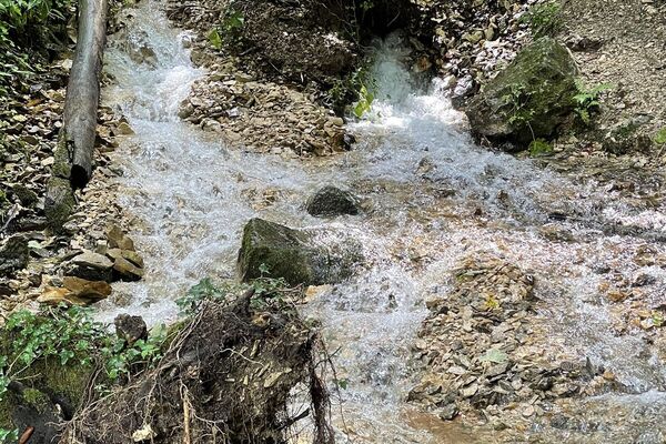
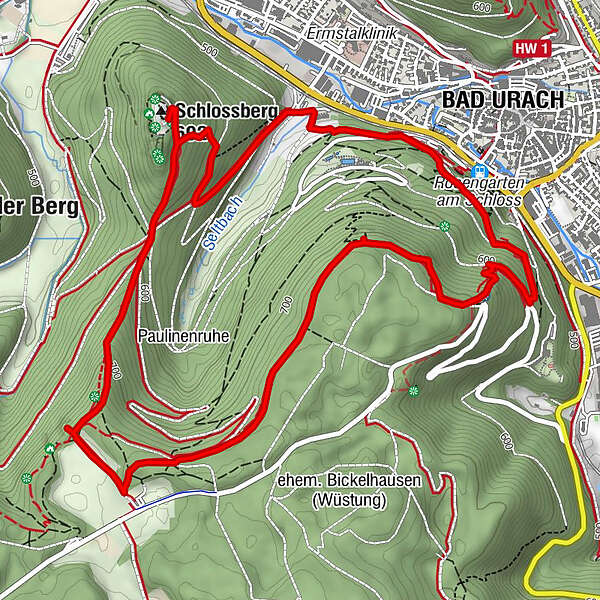
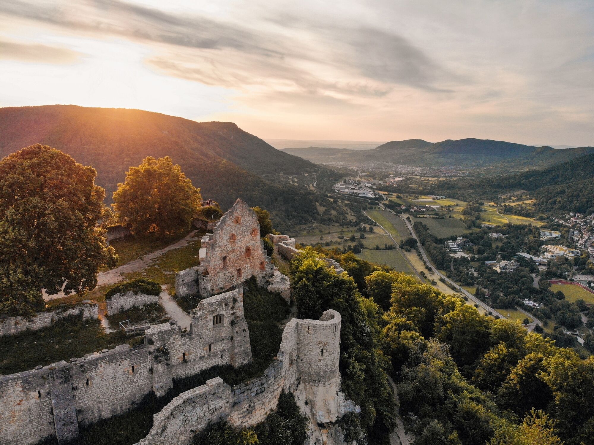
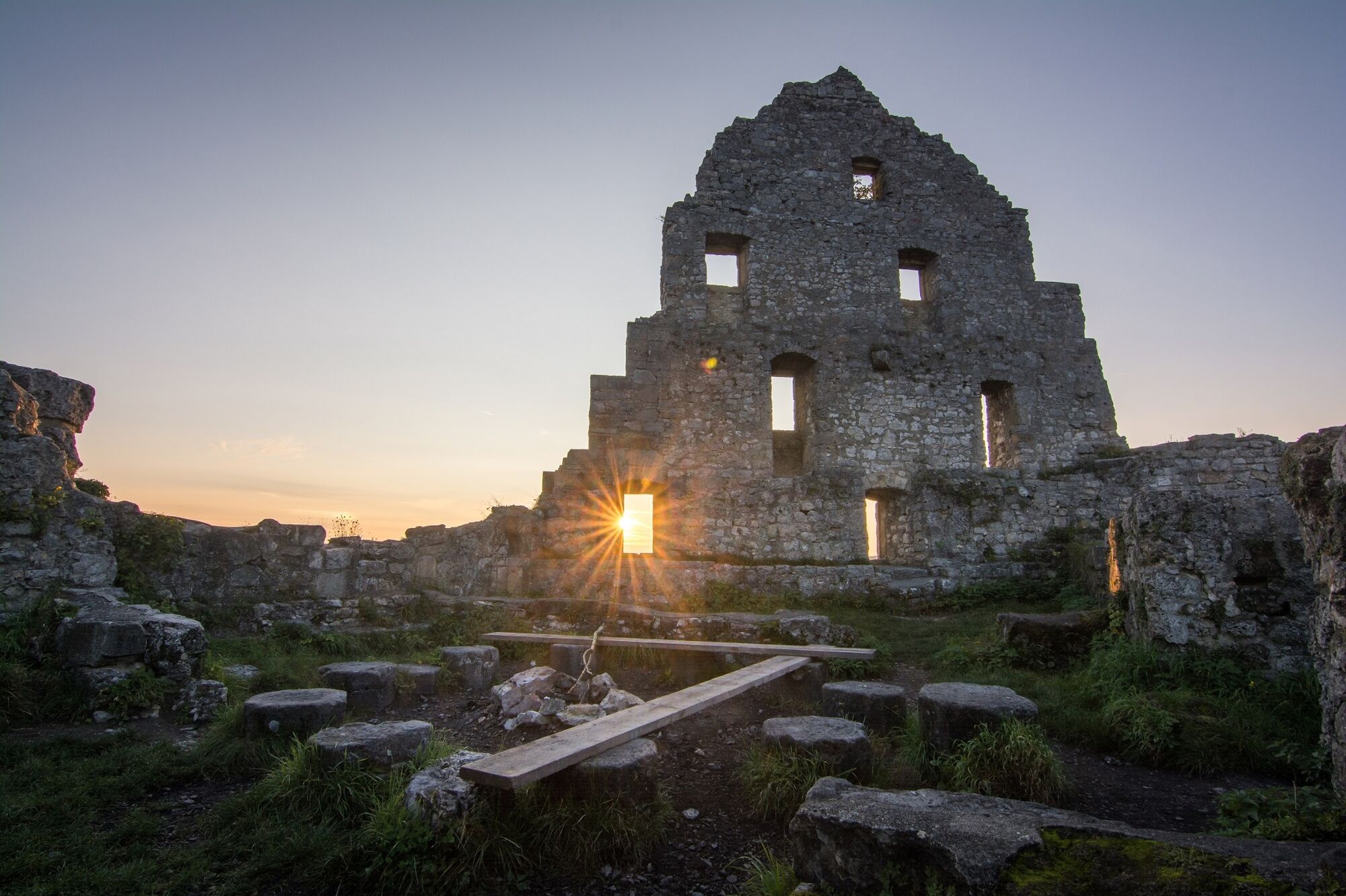
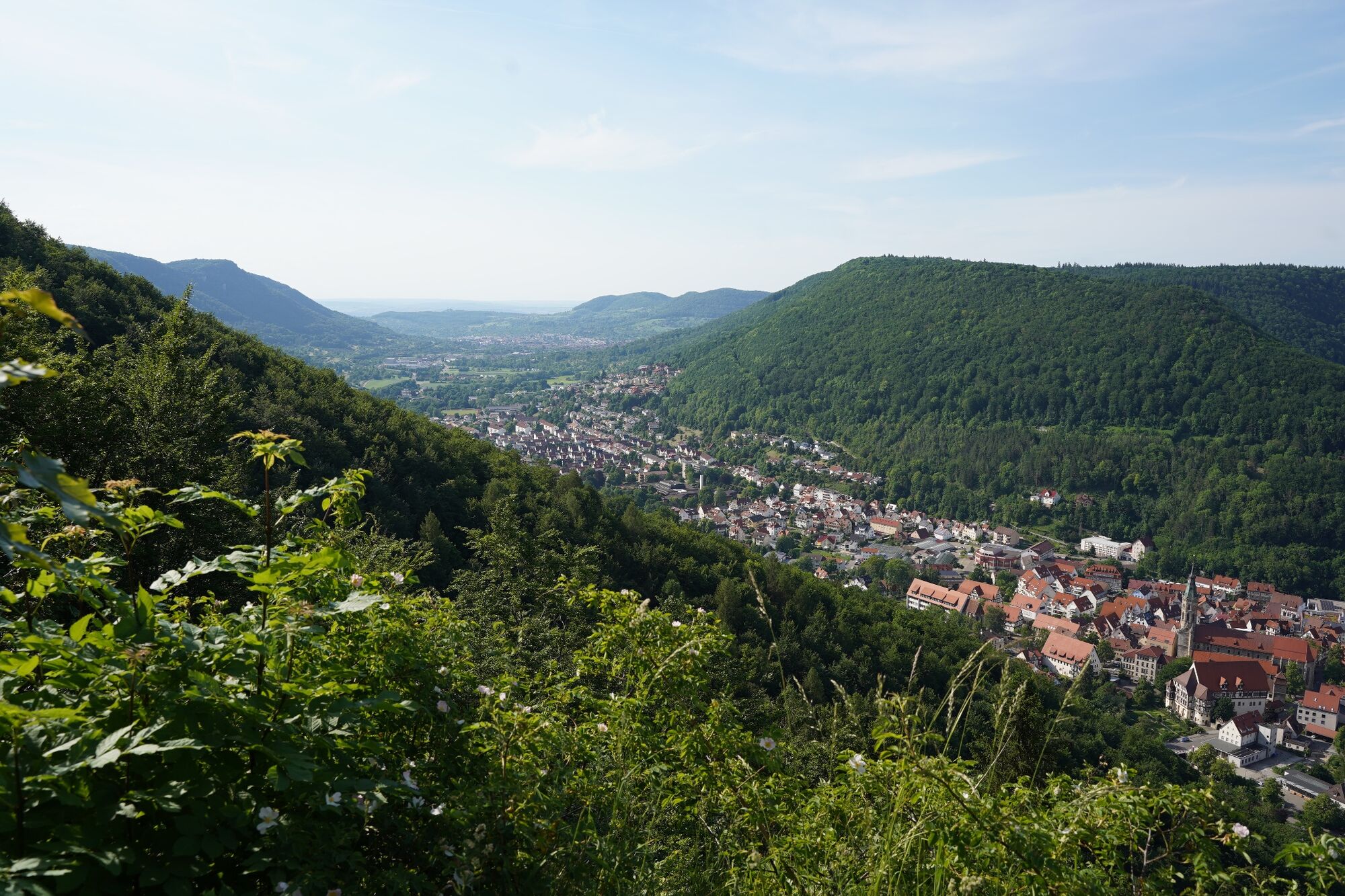
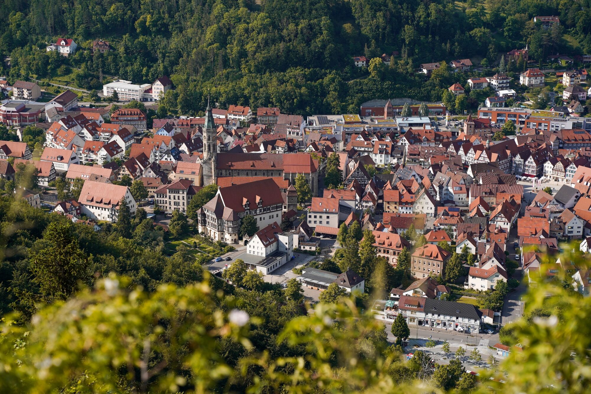
The most prominent landmark of Bad Urach, the ruined castle of Hohenurach, is certainly the highlight of this route, however the stunning views of the cliffs ‘Hanner Felsen’ and the pathways through lush mixed forests complete the hiking experience and are more than worth the effort.
- Dificultad
-
medio
- Valoración
-
- Ruta
-
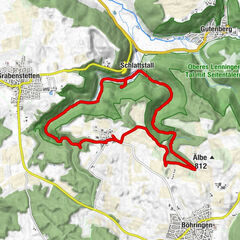
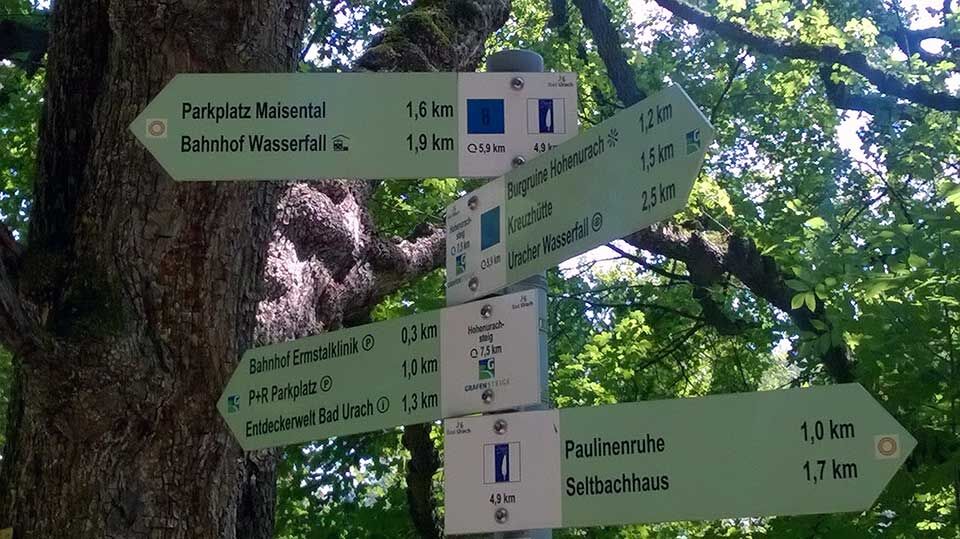
Bad Urach0,0 kmÖstlicher Hannerfels (669 m)1,2 kmMittlerer Hanner-Fels1,6 kmEppenzillfelsen (735 m)4,0 kmSchlossberg (692 m)5,6 km
- La mejor temporada
-
enefebmarabrmayjunjulagosepoctnovdic
- Punto álgido
- 743 m
- Punto final
-
Above the Park & Ride car park at the Train Station, Bad Urach
- Perfil alto
-
 © outdooractive.com
- Autor
-
La gira Hohenurachsteig Bad Urach es utilizado por outdooractive.com proporcionado.
GPS Downloads


Información general
Punto de avituallamiento
Clima saludable
Cultural/Histórico
Vistas panorámicas
Más circuitos por las regiones
-
Schwäbische Alb
1235
-
Bad Urach
344