"Grenzgänger im Spitzbubenland" Pumpelschellenweg

Senderismo

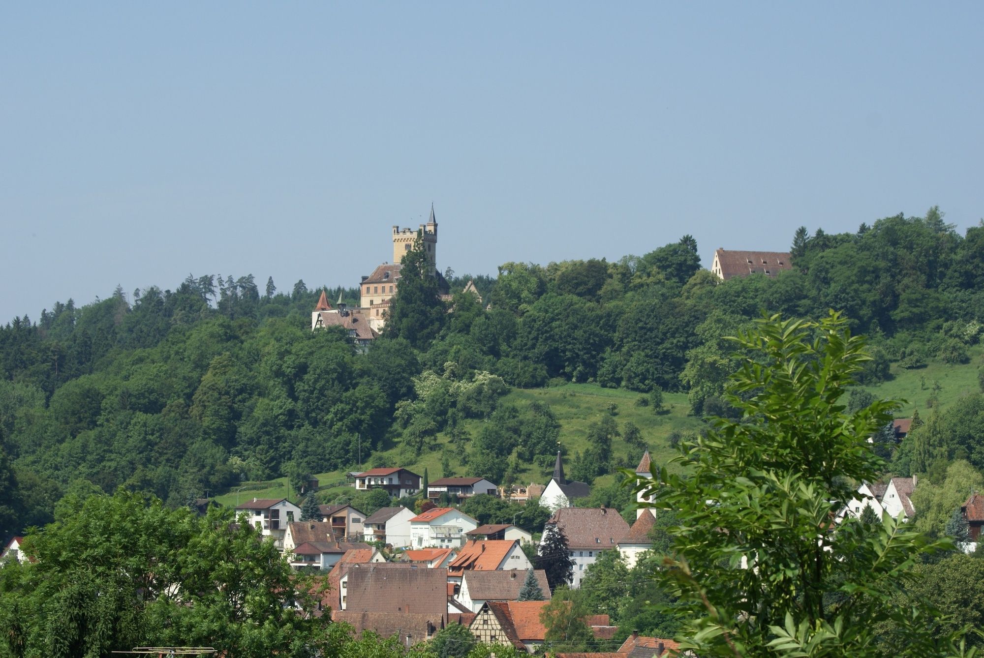
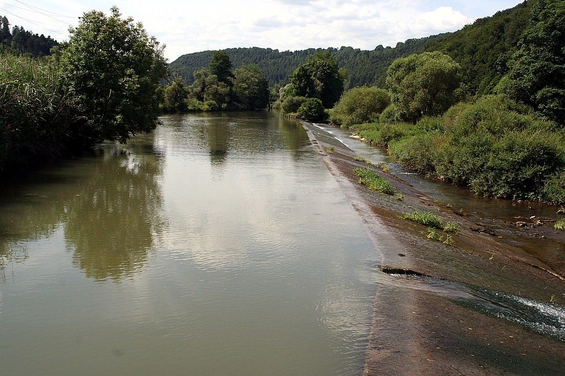
© Früchtetrauf - Andreas Scholz

© Früchtetrauf - Andreas Scholz

© Früchtetrauf - Andreas Scholz

© Früchtetrauf - Andreas Scholz

© Früchtetrauf - Andreas Scholz

- Breve descripción
-
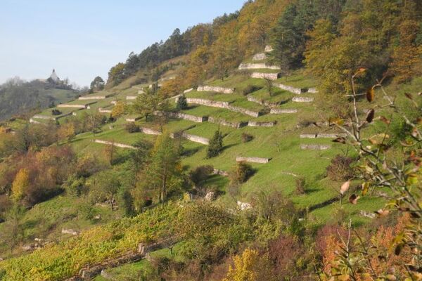
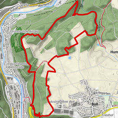
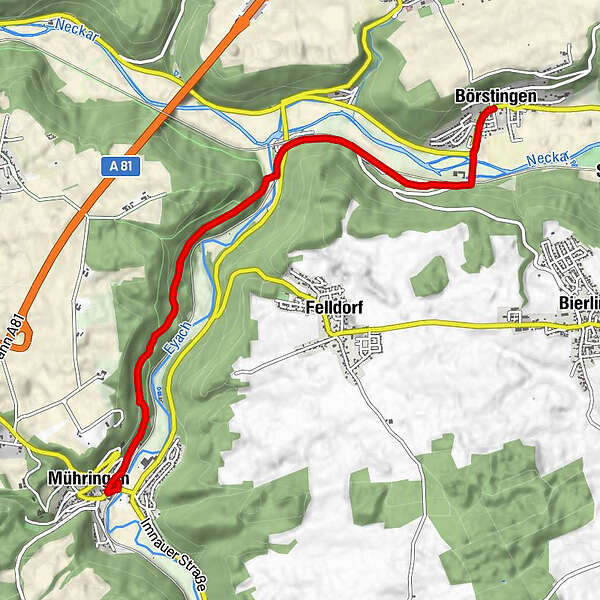
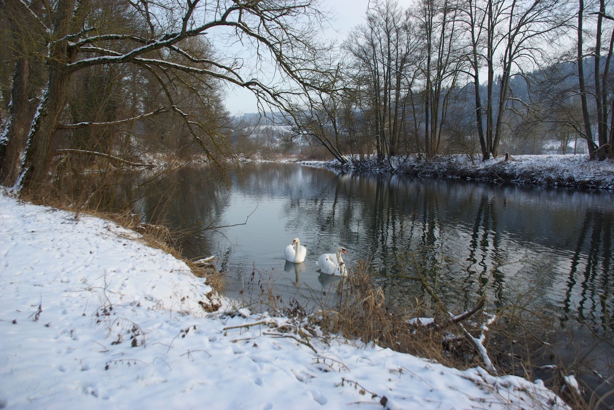
Der Pumpelschellenweg führt vom Eyachtal ins Neckartal.
- Dificultad
-
fácil
- Valoración
-
- Ruta
-
Mühringen0,2 kmEyach HzL (374 m)4,0 kmEyach (374 m)4,0 kmSt. Ottilia6,0 kmBörstingen6,1 km
- La mejor temporada
-
enefebmarabrmayjunjulagosepoctnovdic
- Punto álgido
- 441 m
- Punto final
-
Dormuseum Kulturtankstelle Börstingen
- Perfil alto
-
 © outdooractive.com

- Autor
-
La gira "Grenzgänger im Spitzbubenland" Pumpelschellenweg es utilizado por outdooractive.com proporcionado.
GPS Downloads


Información general
Punto de avituallamiento
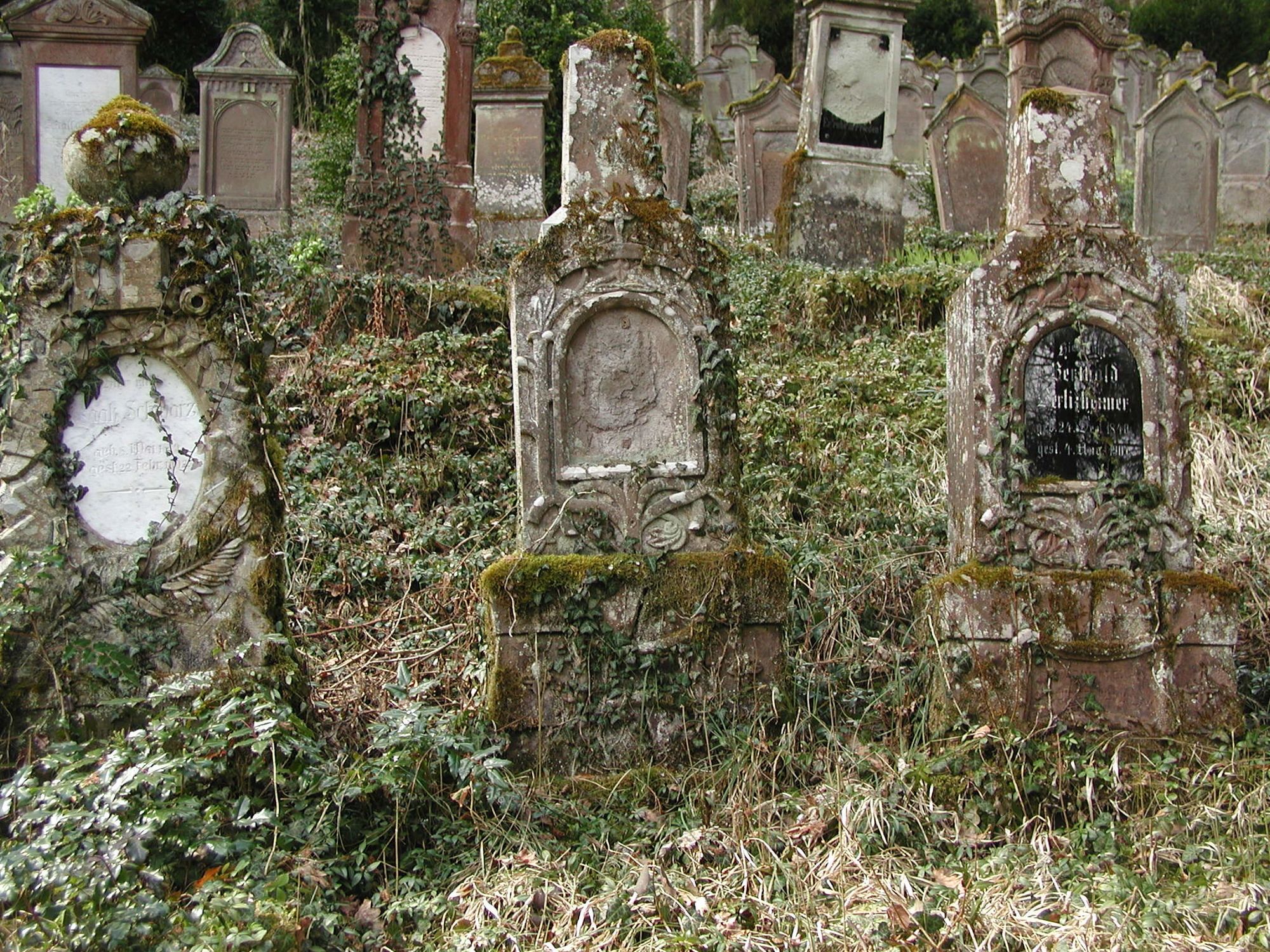
Cultural/Histórico
Vistas panorámicas
Más circuitos por las regiones
-
Region Stuttgart
1734
-
Rottweil / Horb am Neckar
573
-
Haigerloch
70