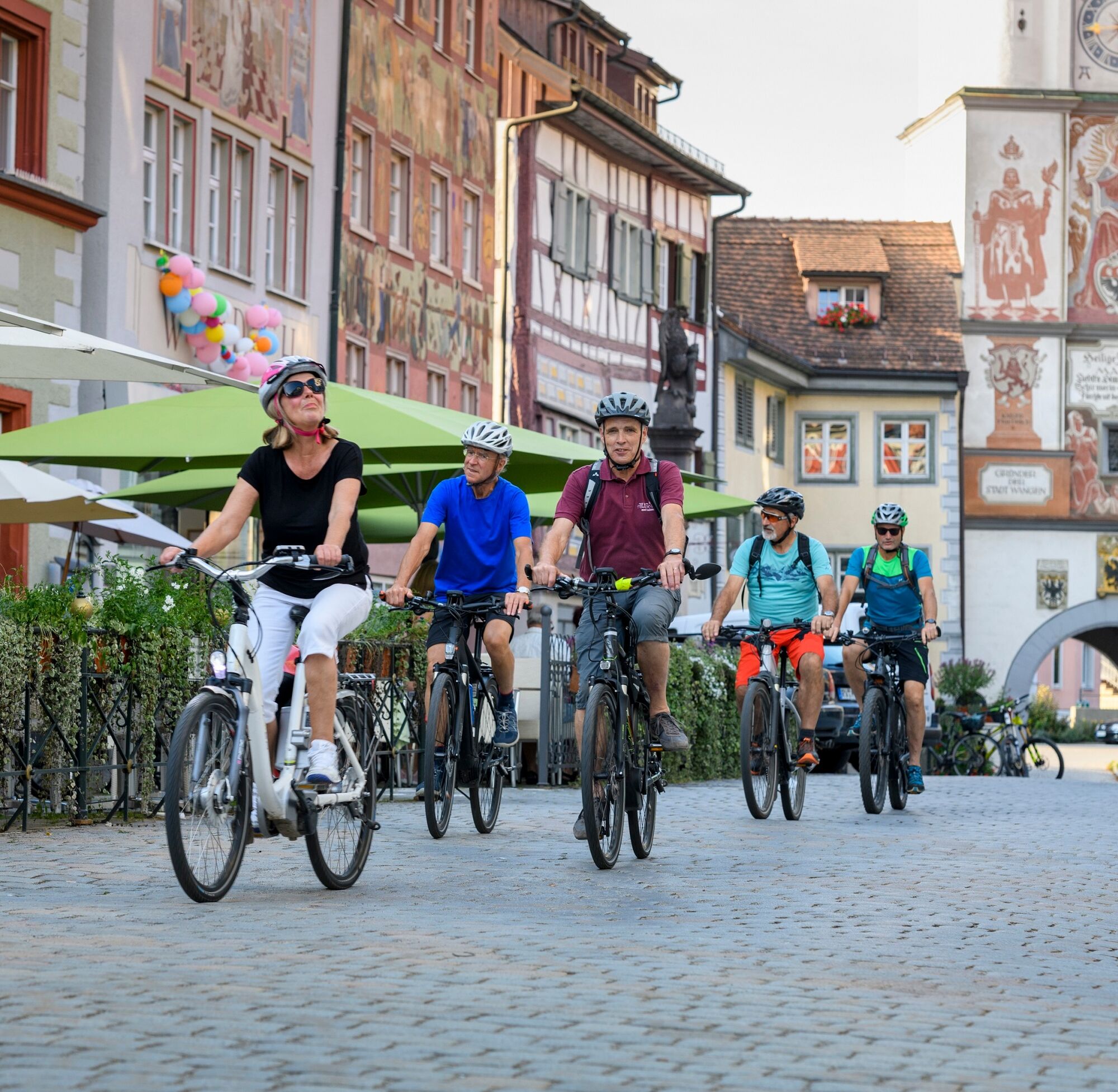
Danube-Lake Constance Route - 4th leg

Ciclismo de larga distancia

© Oberschwaben Tourismus GmbH - Frank Müller

© Oberschwaben Tourismus GmbH - Florian Trykowski

© Oberschwaben Tourismus GmbH - Frank Müller

© Oberschwaben Tourismus GmbH - Florian Trykowski

- Breve descripción
-
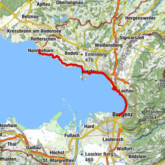
Exhilarating descent to Lake Constance.
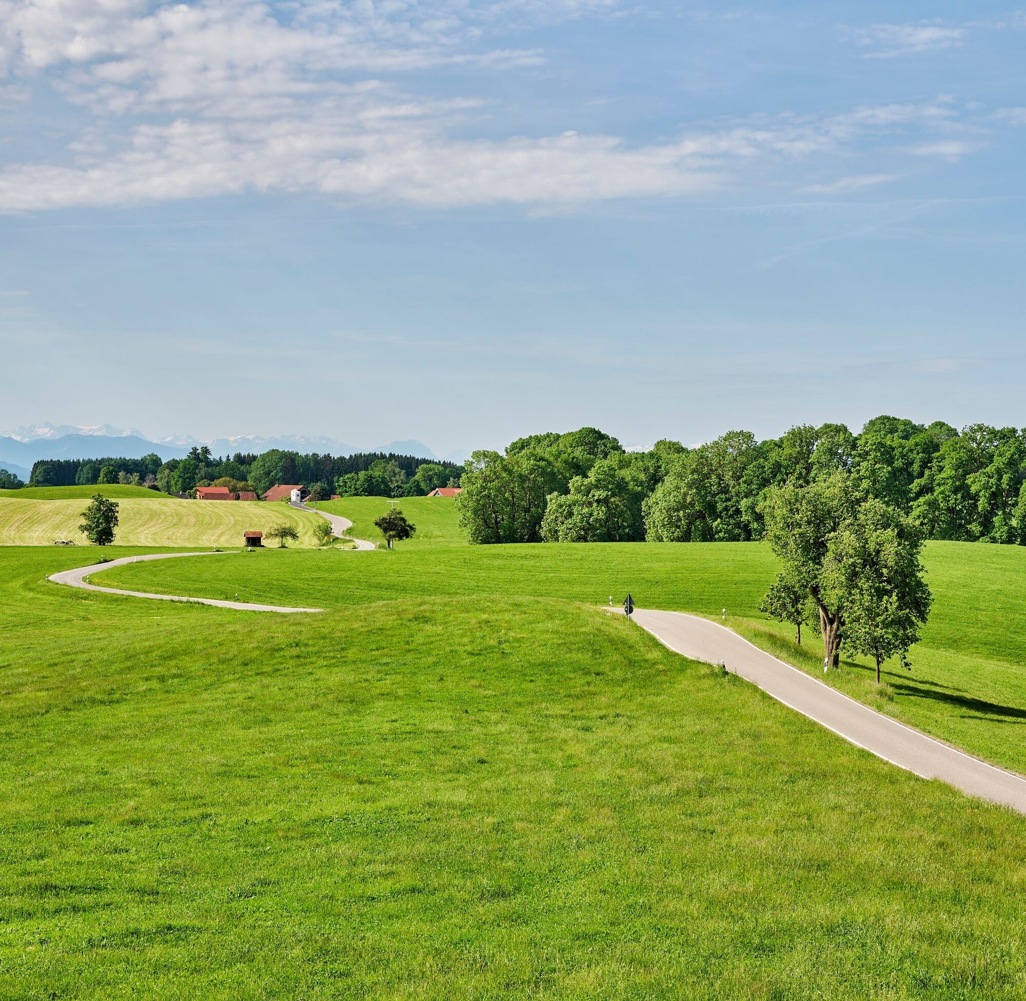
The final stage of the trip is dominated by the magnificent Alpine panorama. There are several more hills to climb before we can finally savour the last downhill run to Lake Constance.
- Ruta
-
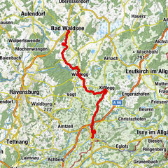
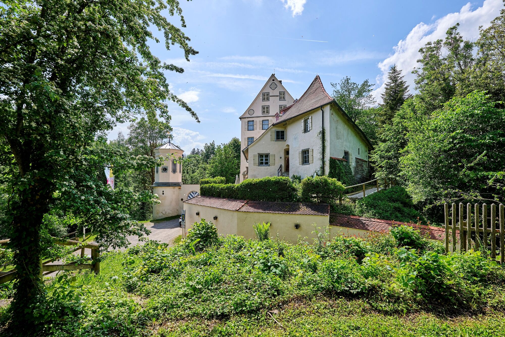
AltstadtWangen im Allgäu (556 m)Auwiesen0,7 kmLottenmühle2,2 kmNiederwangen3,4 kmPfarrkirche St. Andreas3,5 kmKnobel4,0 kmEttensweiler6,1 kmHochbühl7,1 kmKernaten8,0 kmSchomburg8,6 kmRuhe-Christi-Kapelle8,9 kmHaslach10,5 kmPfarrkirche Sankt Stephanus Haslach10,5 kmKleber10,5 kmHaslachmühle11,1 kmLitzelmannshof11,3 kmGunzenweiler12,8 kmMehetsweiler13,9 kmSt. Maria15,2 kmNeukirch15,4 kmOberlangensee17,2 kmSummerau18,8 kmSteinenbach20,4 kmOberlangnau21,9 kmPfarrkirche St. Dionysius22,7 kmHiltensweiler22,8 kmOberwolfertsweiler23,4 kmDegersee24,1 kmDegerseestube24,2 kmBusenhaus24,9 kmWielandsweiler25,9 kmGasthaus Traube26,0 kmSchleinsee26,8 kmGasthaus Seerose27,2 kmNitzenweiler27,4 kmBerg29,7 kmKressbronn am Bodensee31,5 kmKressbronn31,6 km
- La mejor temporada
-
enefebmarabrmayjunjulagosepoctnovdic
- Punto álgido
- 578 m
- Punto final
-
Kressbronn
- Perfil alto
-
 © outdooractive.com

- Autor
-
La gira Danube-Lake Constance Route - 4th leg es utilizado por outdooractive.com proporcionado.
GPS Downloads


Información general
Punto de avituallamiento
Cultural/Histórico
Vistas panorámicas
Más circuitos por las regiones