Parcours trail : montée du Grand Colombier depuis Munet

Senderismo

© © D.Ballet

© © Maxime Ballet

© © Maxime Ballet

© © Maxime Ballet

© © Maxime Ballet

© © Maxime Ballet

© © D.Ballet

© © D.Ballet

© © D.Ballet

© © D.Ballet


- Breve descripción
-
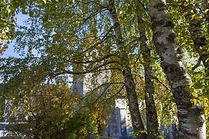
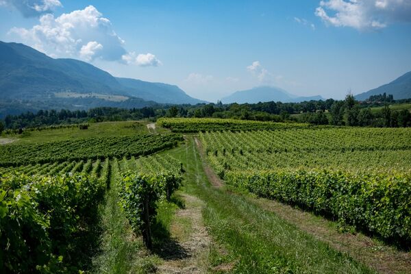
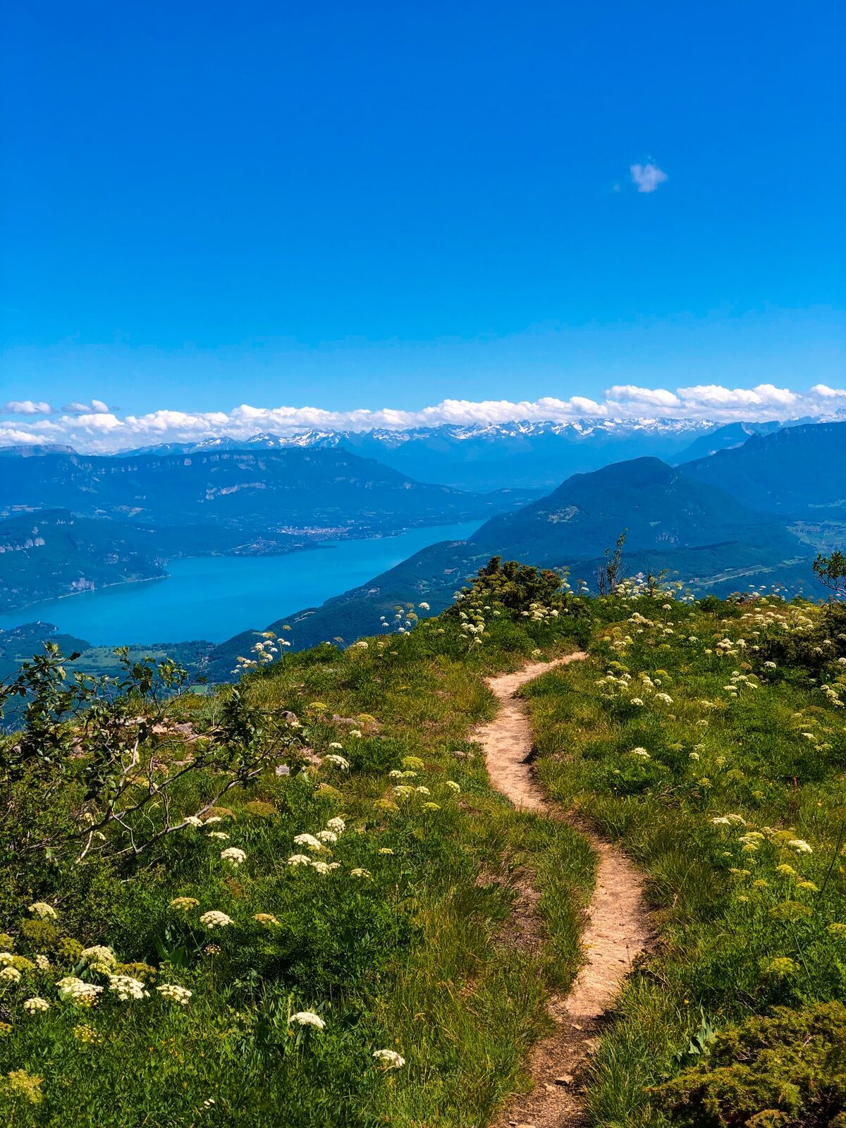
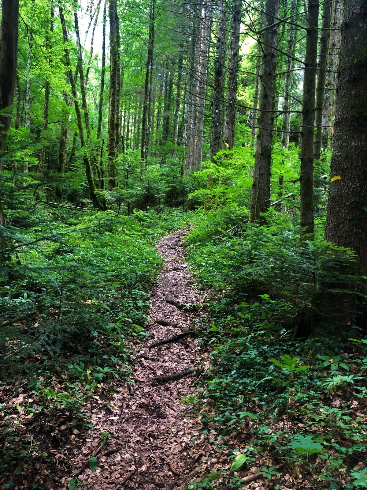
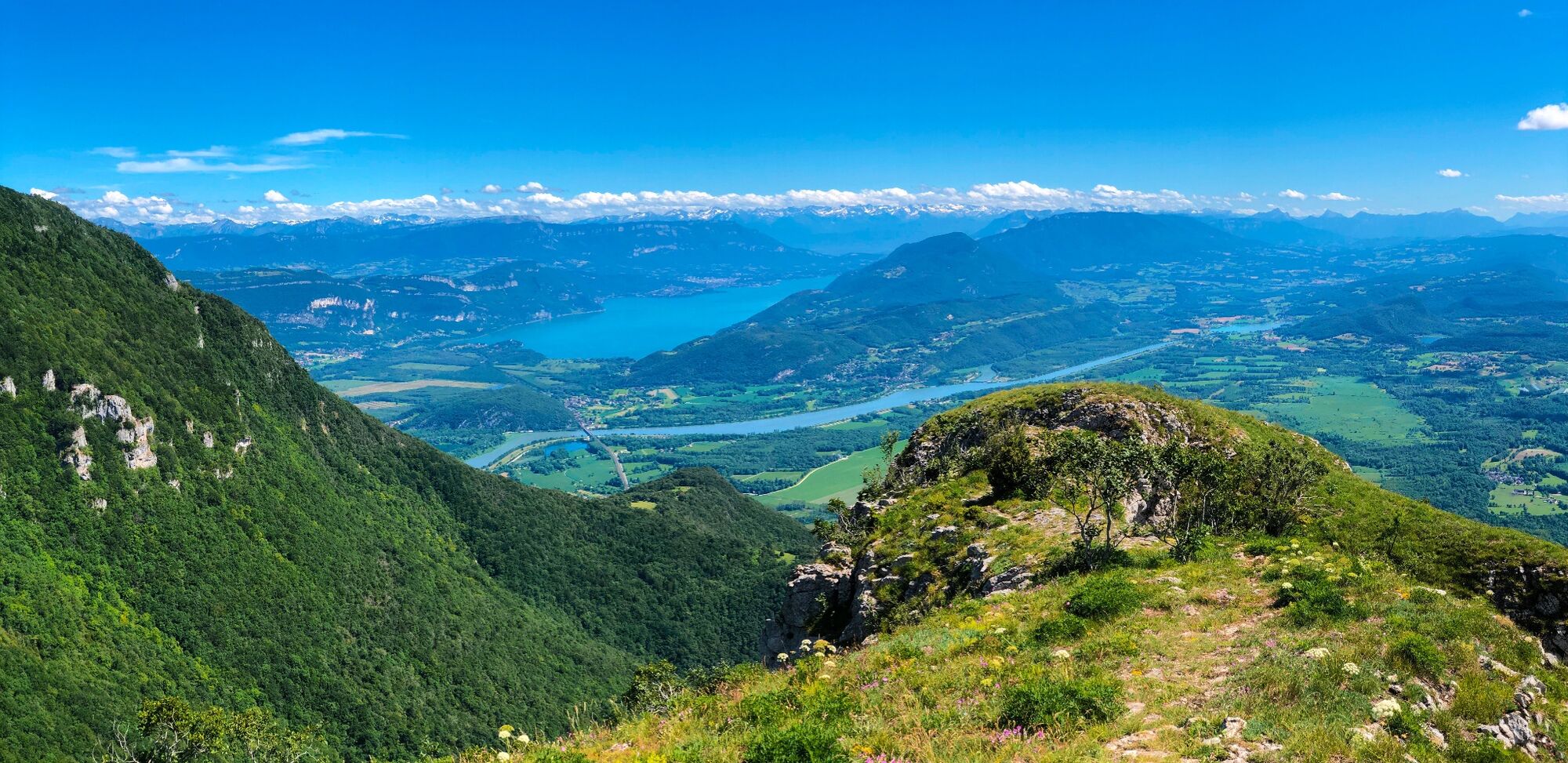
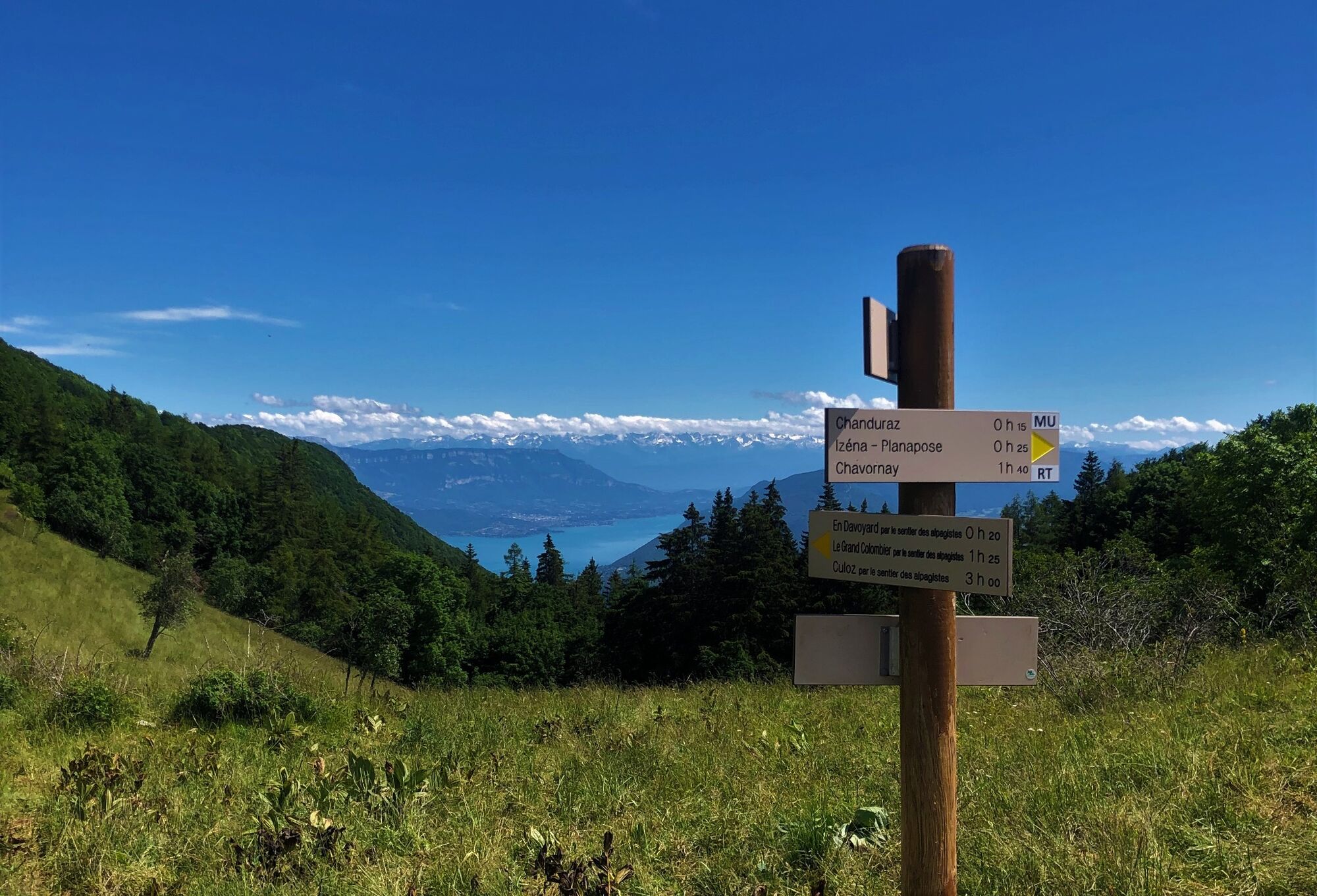
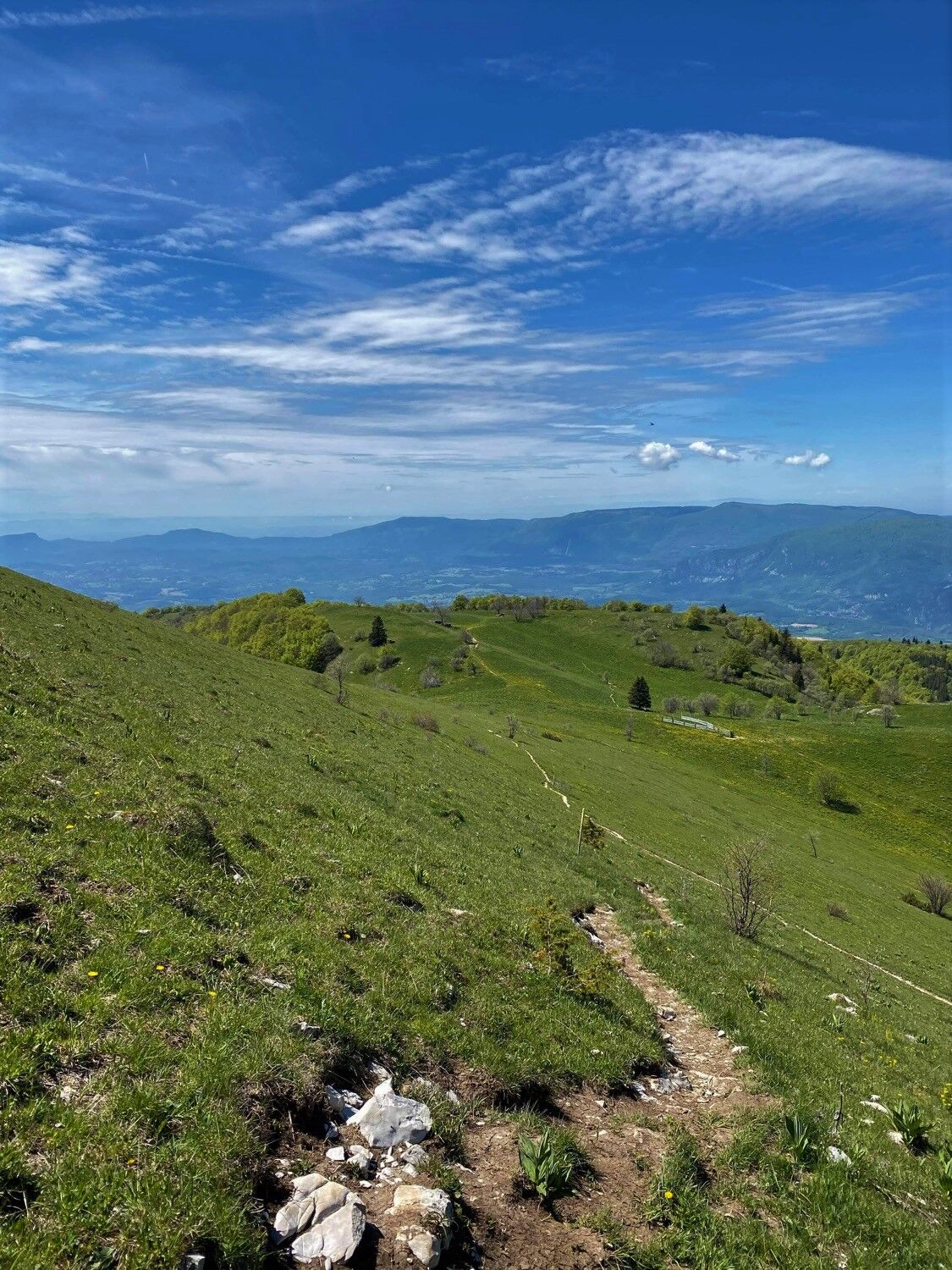
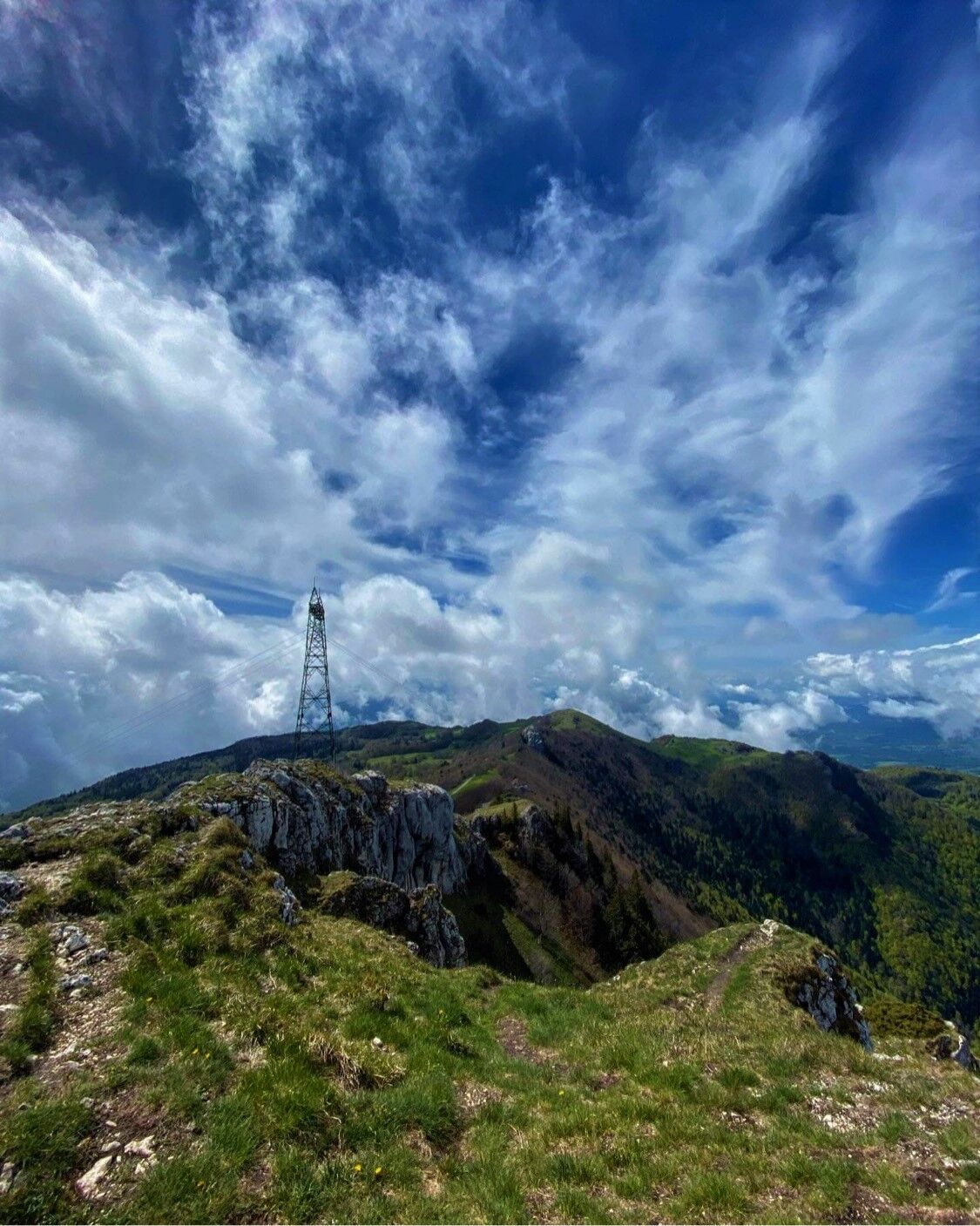
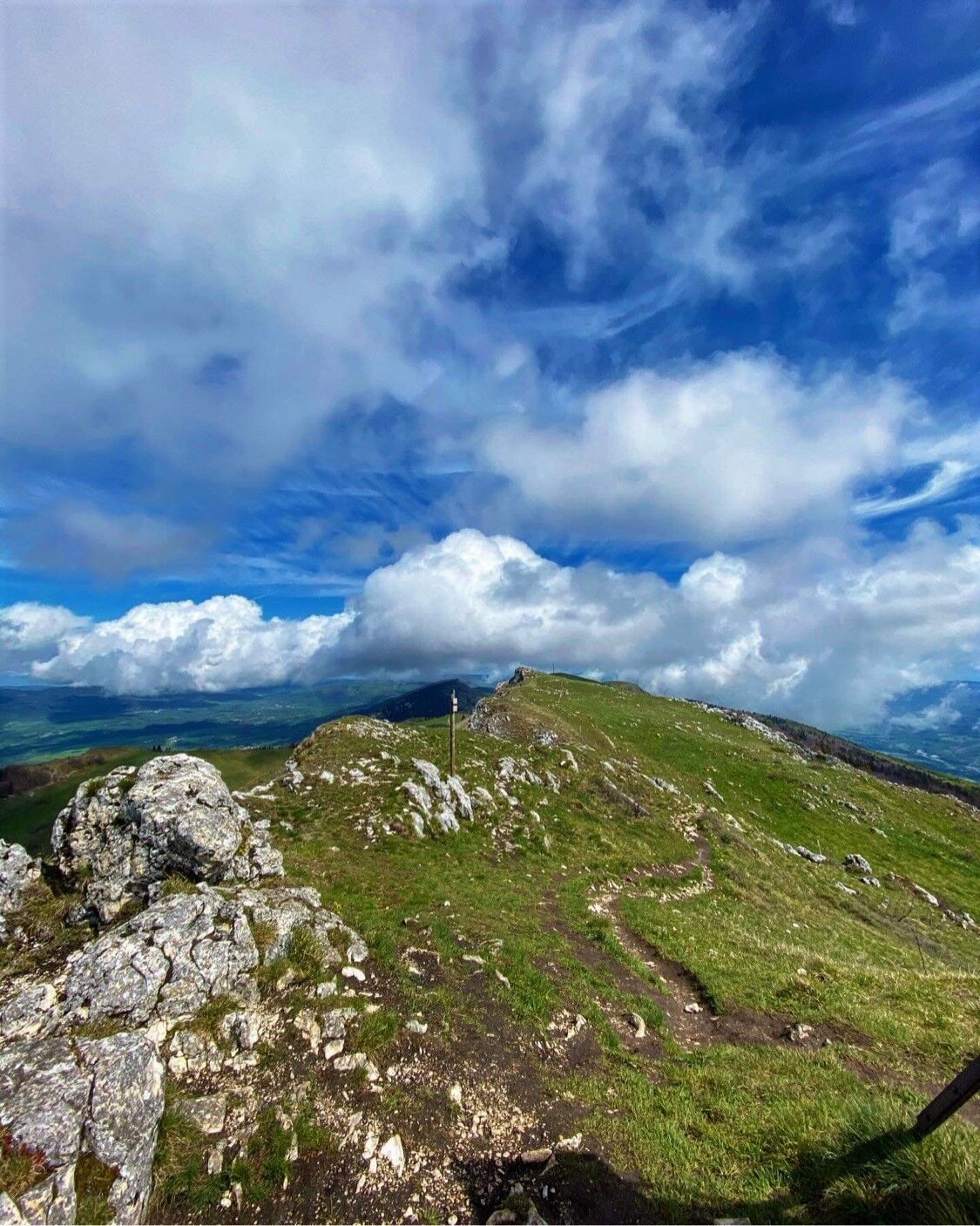
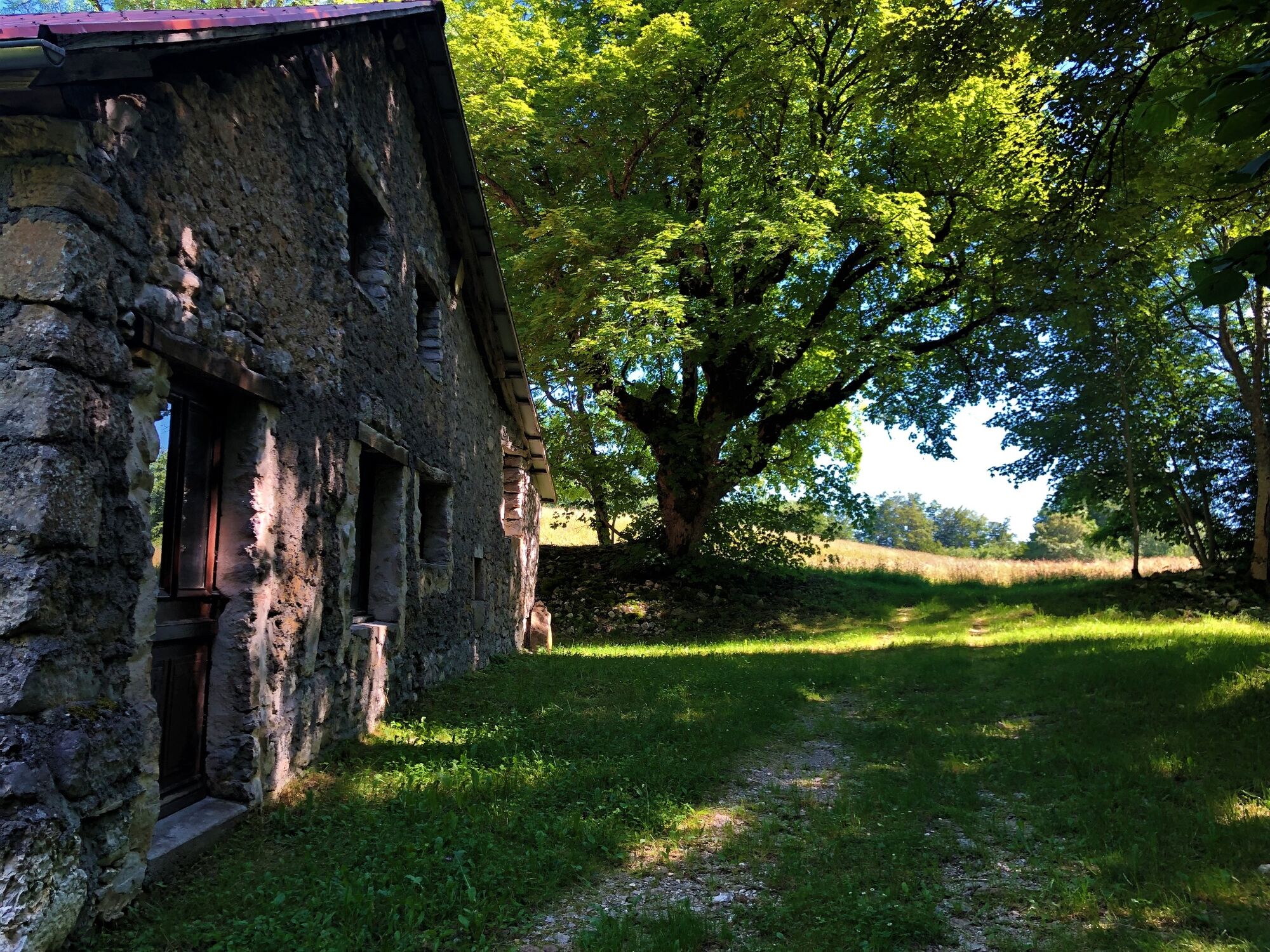
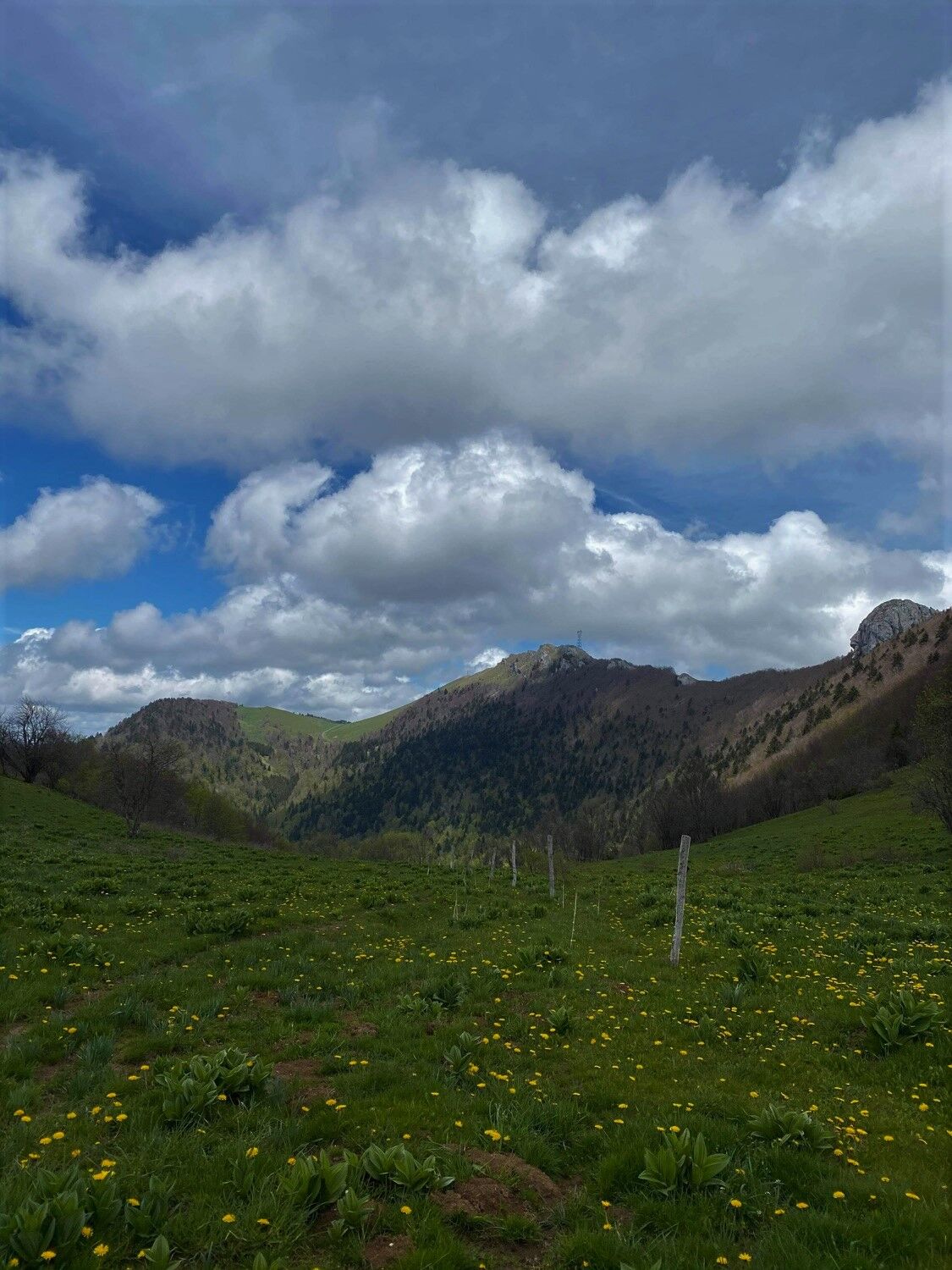
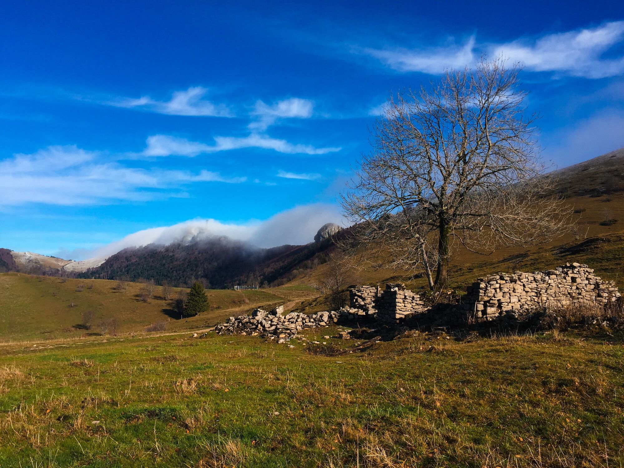
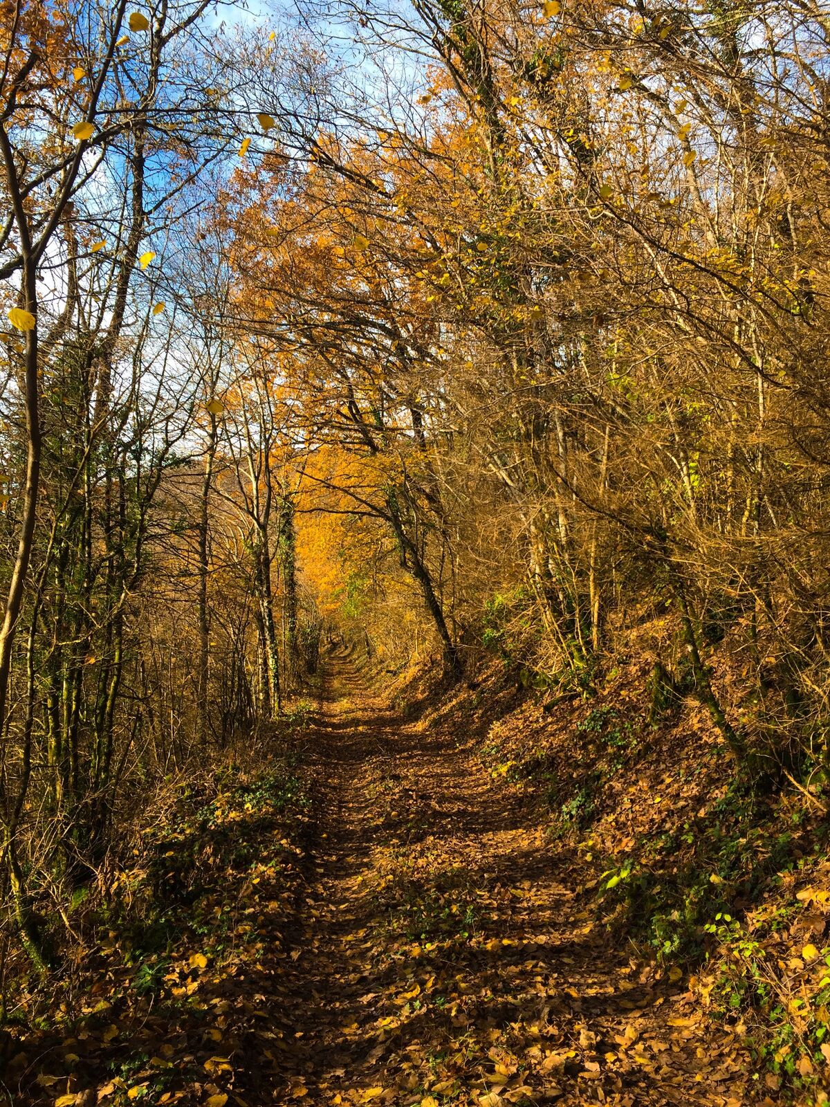
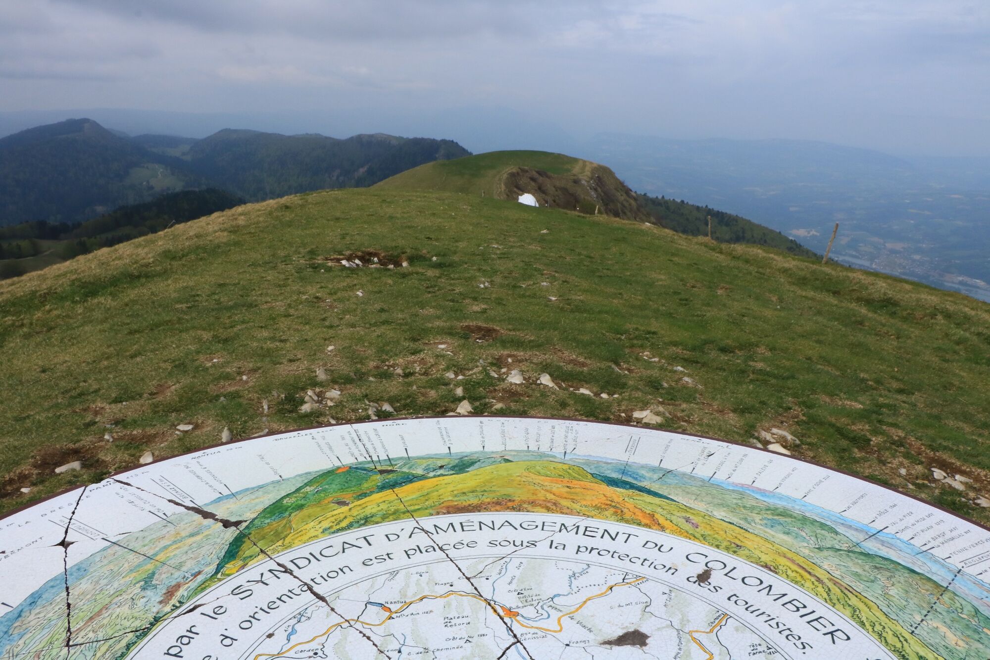
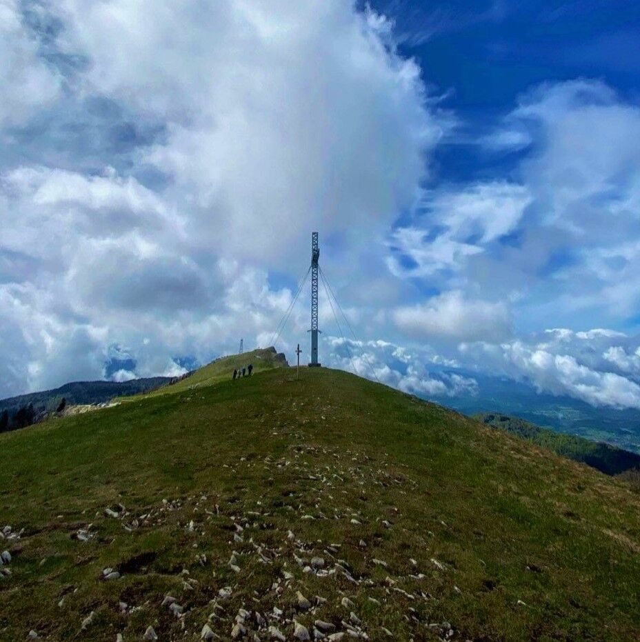
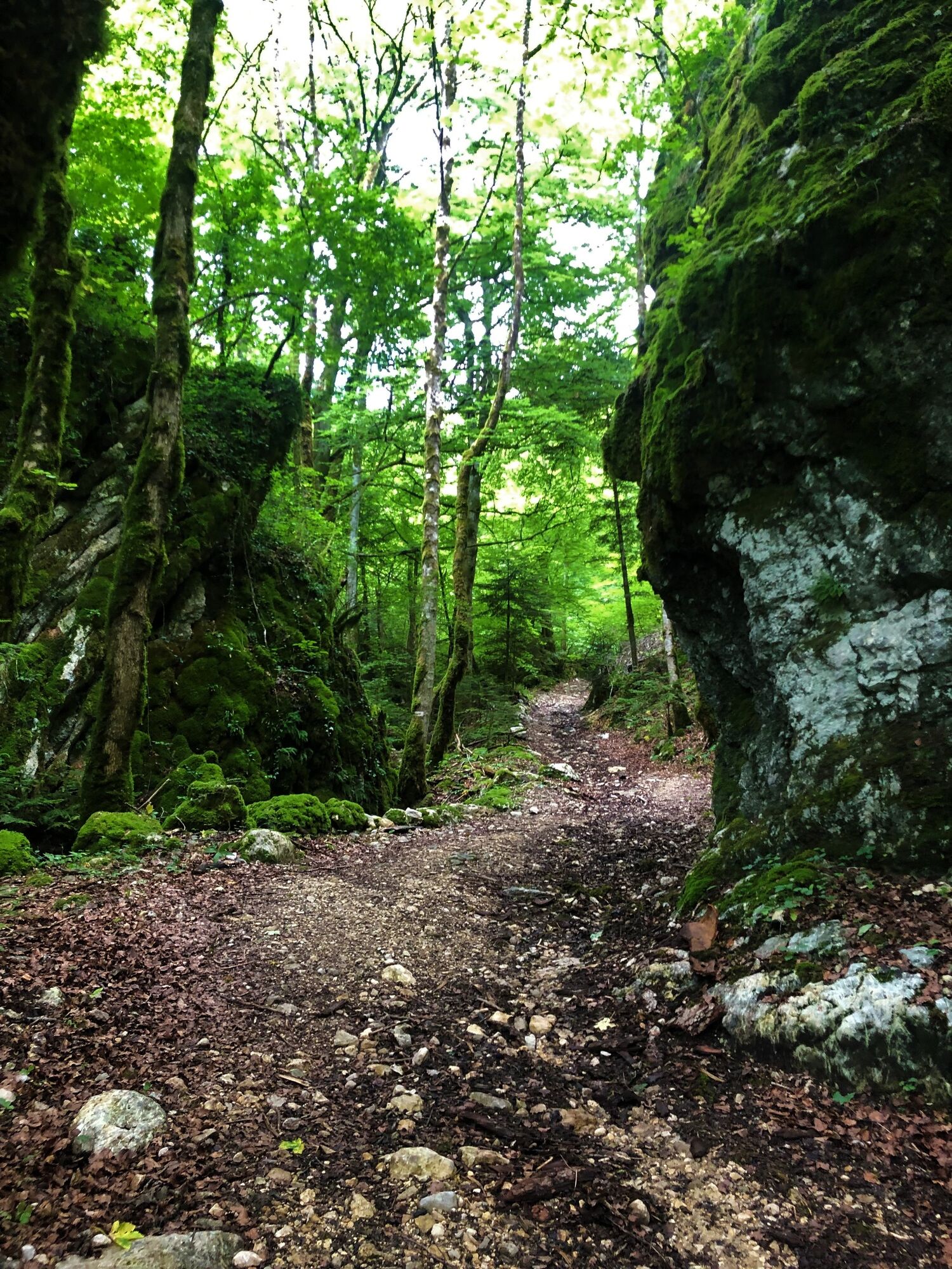
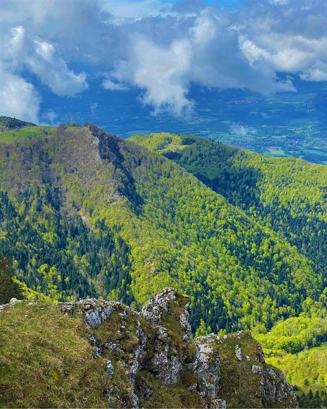
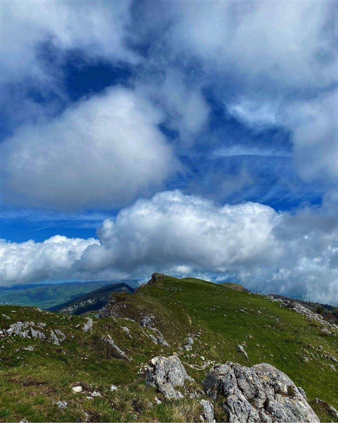
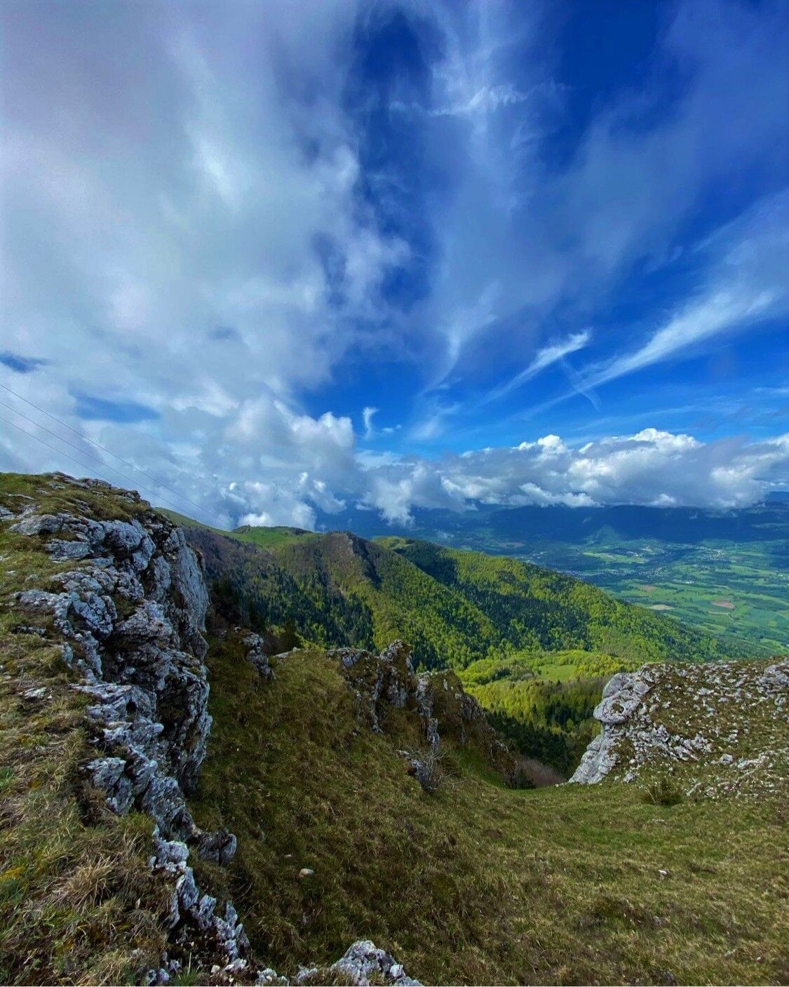
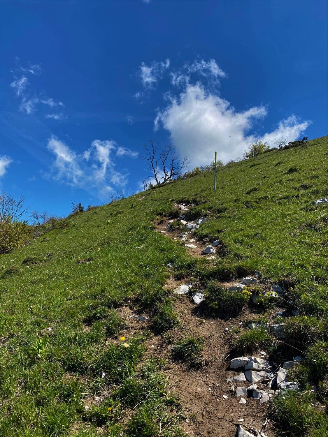
Starting in the calm forest of the Massif du Grand Colombier, the slopes will lead you to the breathtaking panoramic views of the summit and the rock of Chanduraz during your ascent from the hamlet of Munet to Virieu-le-Petit.
- Dificultad
-
difícil
- Valoración
-
- Ruta
-
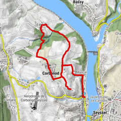
Grand Colombier (1.534 m)7,4 kmPierre Fillola (1.426 m)8,3 kmPierre Amion (1.449 m)8,7 kmAuberge du Colombier9,4 kmChamp du Raz11,2 kmSur le Giet13,2 kmAux Echarmelles14,3 km
- La mejor temporada
-
enefebmarabrmayjunjulagosepoctnovdic
- Punto álgido
- 1.527 m
- Punto final
-
L'arrivée est située au parking des départs randonnée de Munet, hameau d'Arvières-en-Valromey
- Perfil alto
-
 © outdooractive.com


- Autor
-
La gira Parcours trail : montée du Grand Colombier depuis Munet es utilizado por outdooractive.com proporcionado.
GPS Downloads


Información general
Punto de avituallamiento
Flora
Vistas panorámicas
Más circuitos por las regiones
-
Ain
438
-
Bugey Sud
278
-
Haut Valromey
75