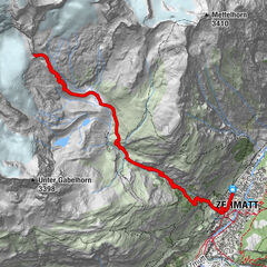
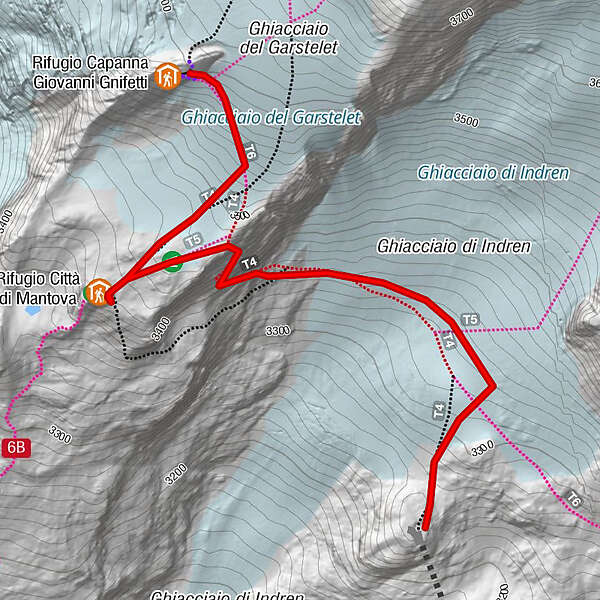
unta Indren - Refuge Città di Mantova - Refuge Gnifetti

Senderismo
© Gressoney Monterosa - Consorzio Gressoney Monterosa

© Gressoney Monterosa - Consorzio Gressoney Monterosa

- Breve descripción
-
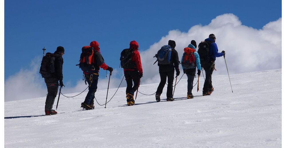
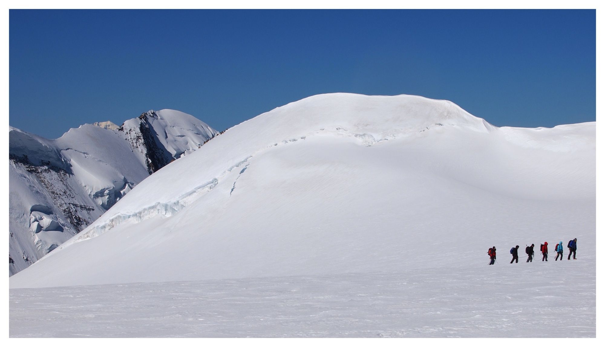
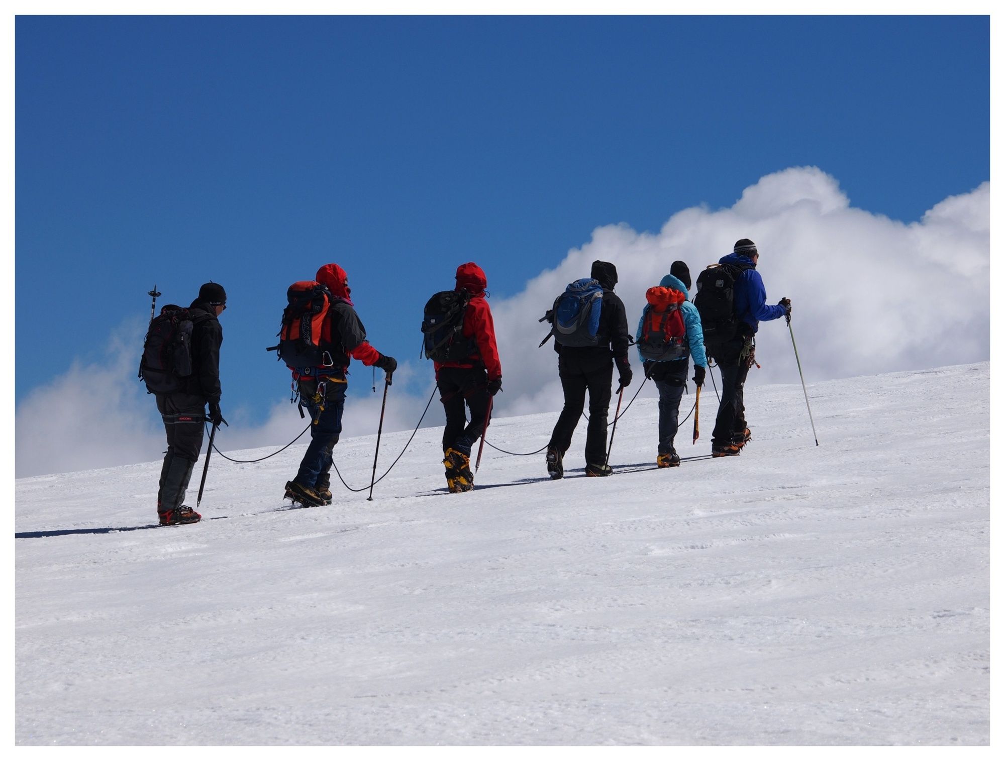
Climb to the shelters on the glacier, first stretch with cableways.
- Dificultad
-
difícil
- Valoración
-
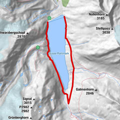
- Ruta
-
Rifugio Città di Mantova1,4 km
- La mejor temporada
-
enefebmarabrmayjunjulagosepoctnovdic
- Punto álgido
- 3.593 m
- Punto final
-
Rifugio Città di Mantova e Rifugio Gnifetti
- Perfil alto
-
 © outdooractive.com
-

-
AutorLa gira unta Indren - Refuge Città di Mantova - Refuge Gnifetti es utilizado por outdooractive.com proporcionado.
GPS Downloads


Información general
Punto de avituallamiento
Vistas panorámicas
Más circuitos por las regiones
-
Biella und Umgebung
263
-
Monte Rosa
216
-
Gressoney La Trinité
62


")