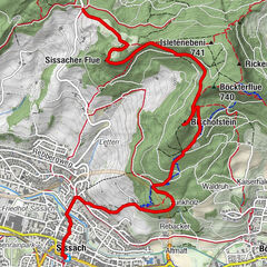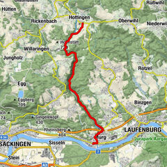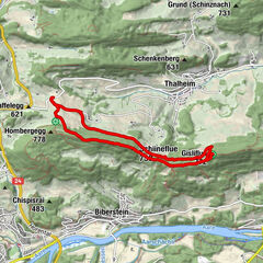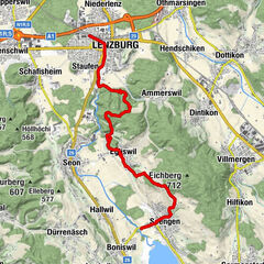

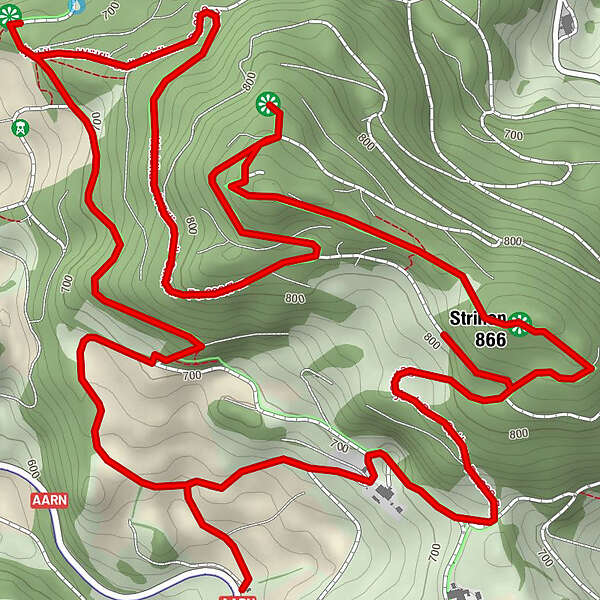
Datos del tour
7,72km
621
- 870m
416hm
415hm
02:05h
- Breve descripción
-
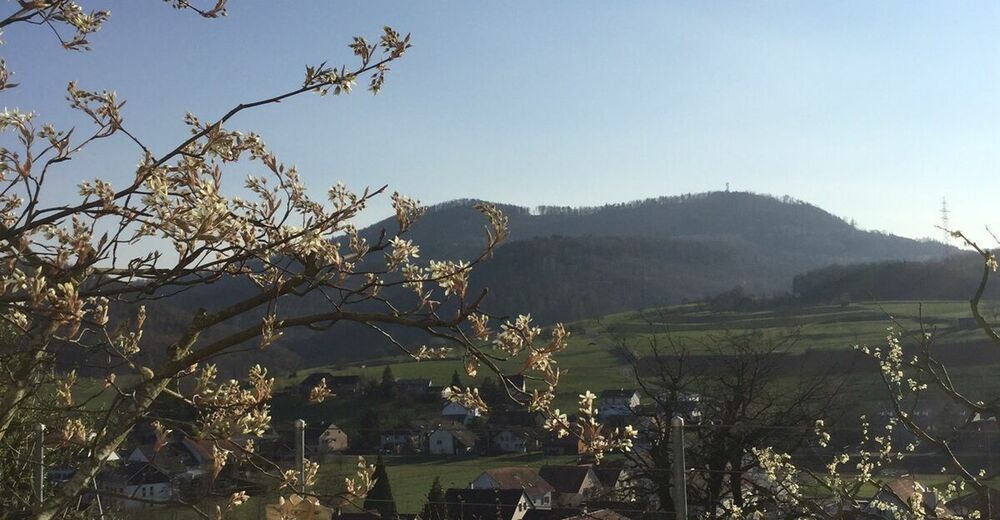
Verschiedene Einstiege möglich
- Dificultad
-
medio
- Valoración
-
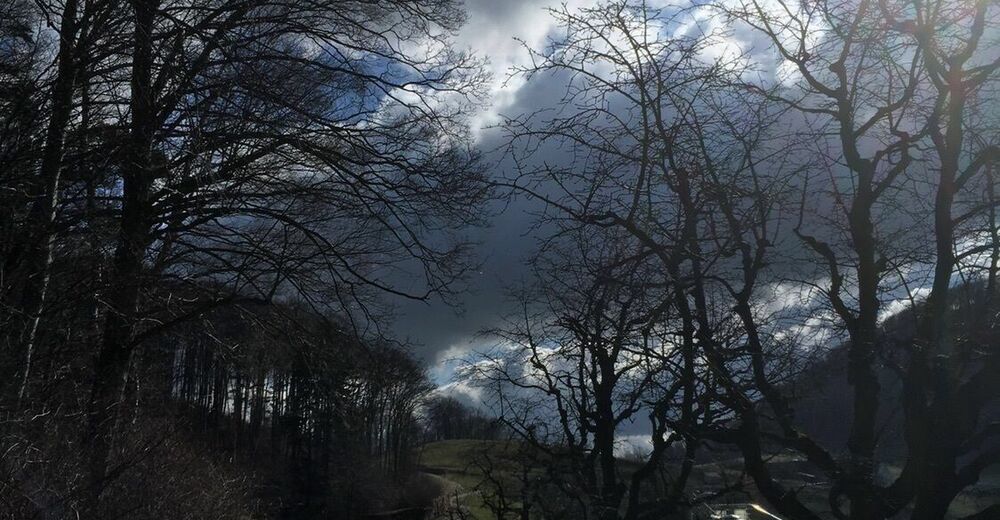
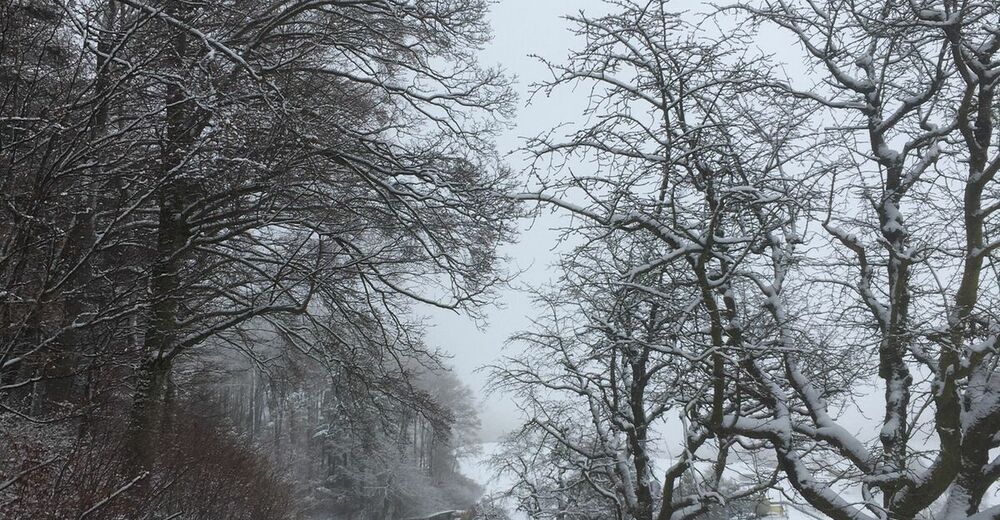
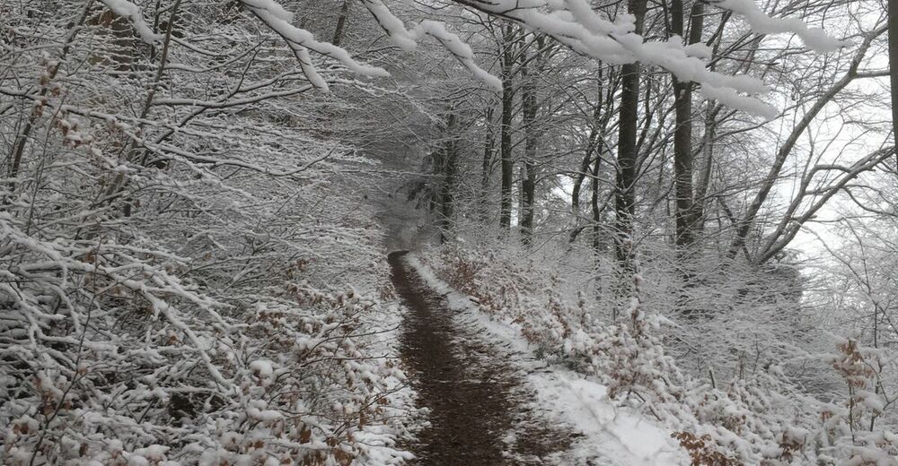
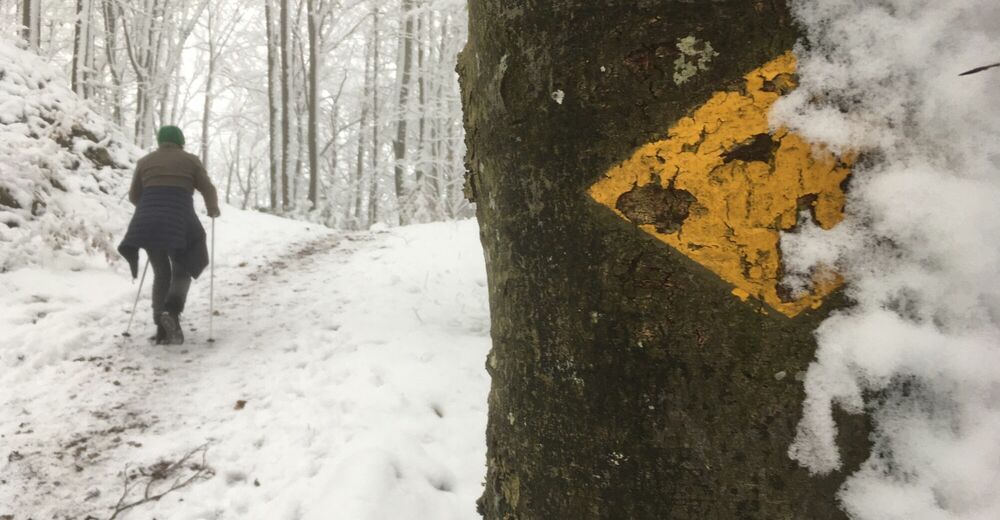
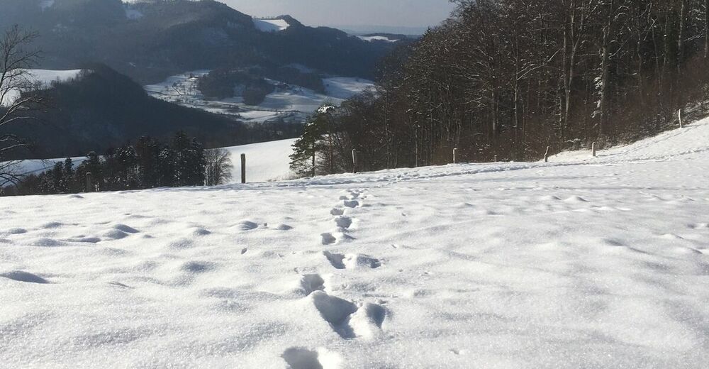
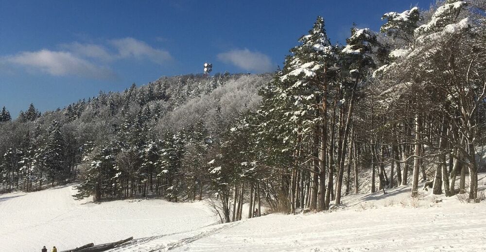
- Ruta
-
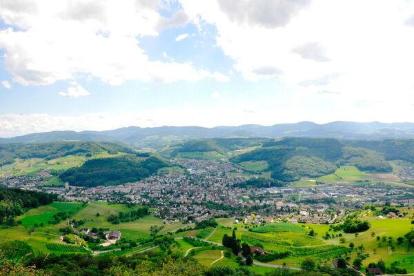
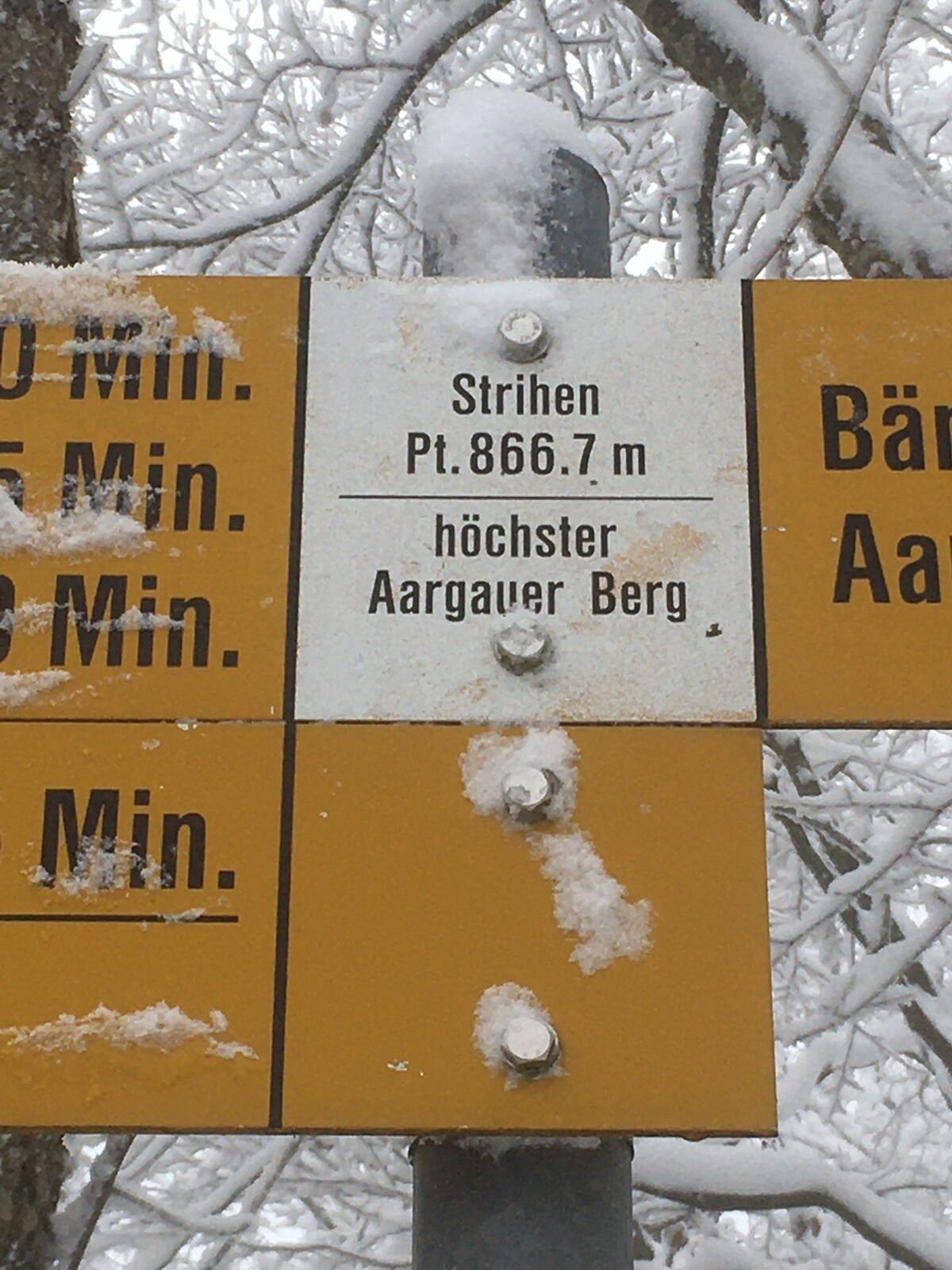
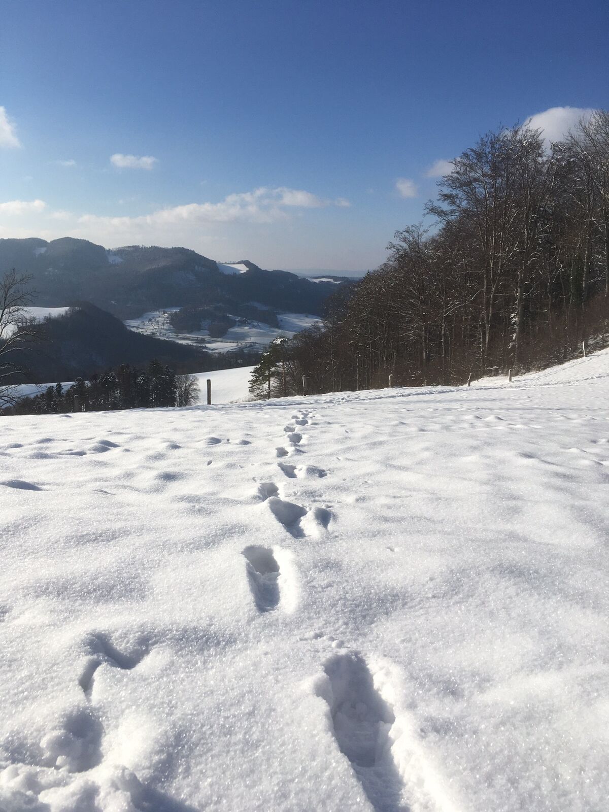
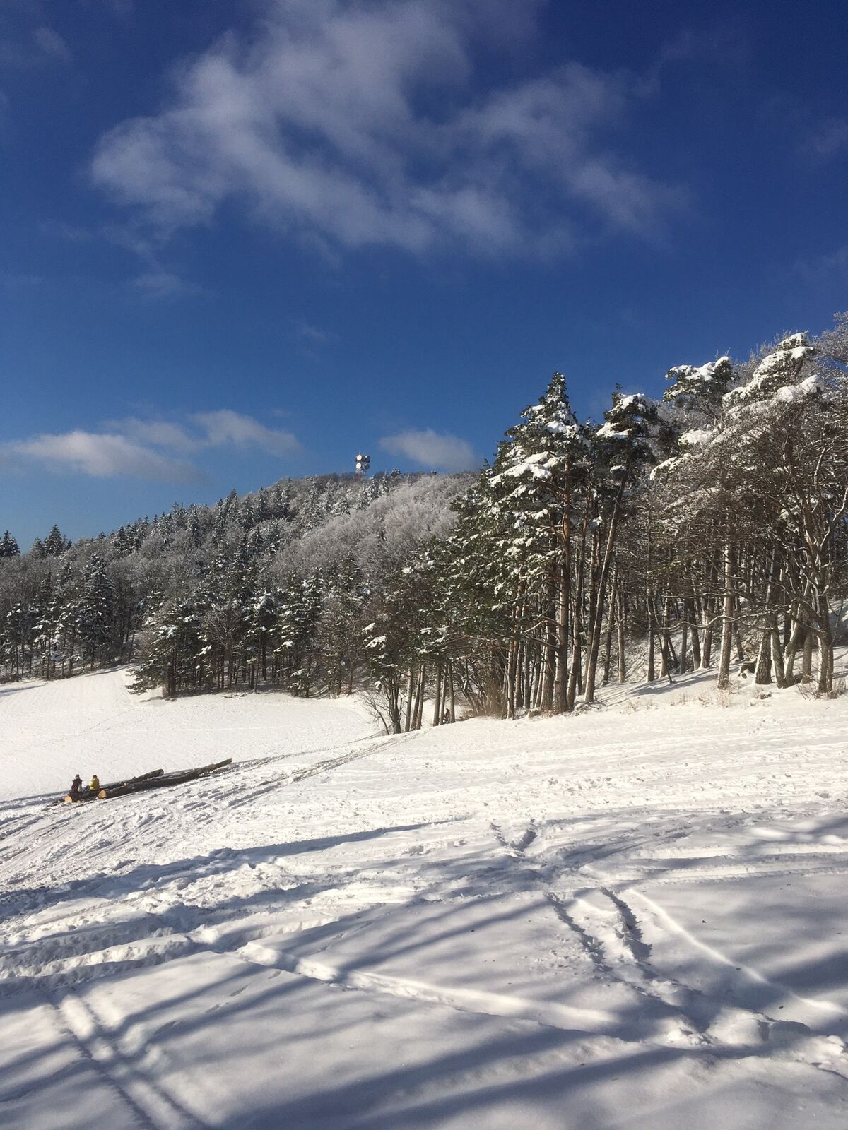
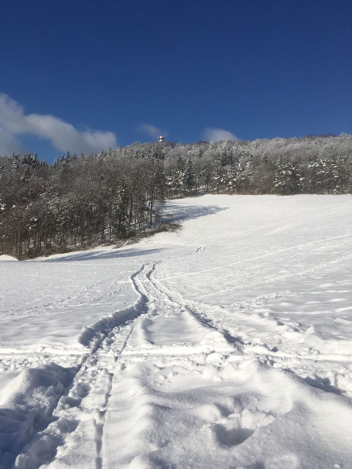
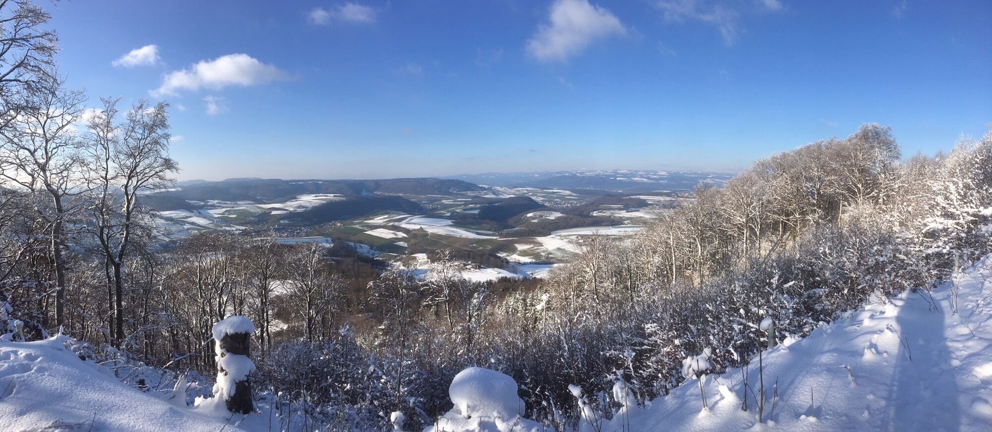
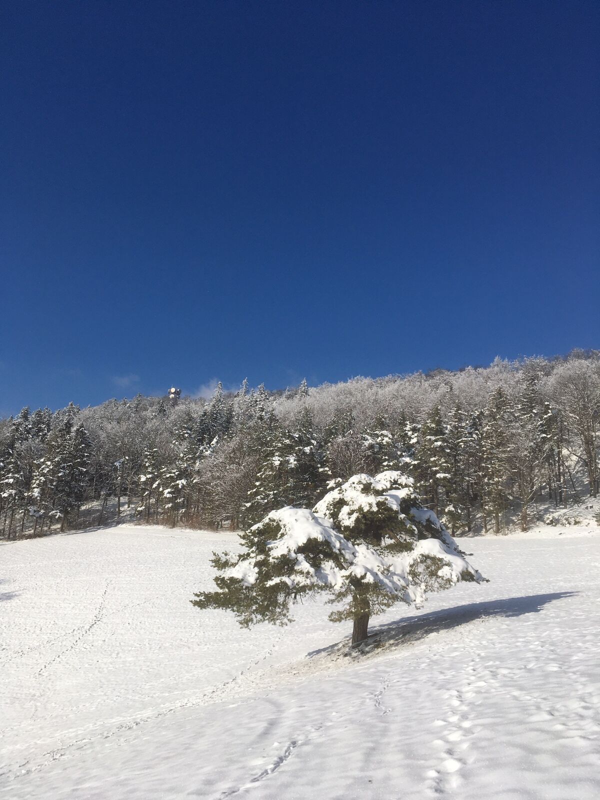
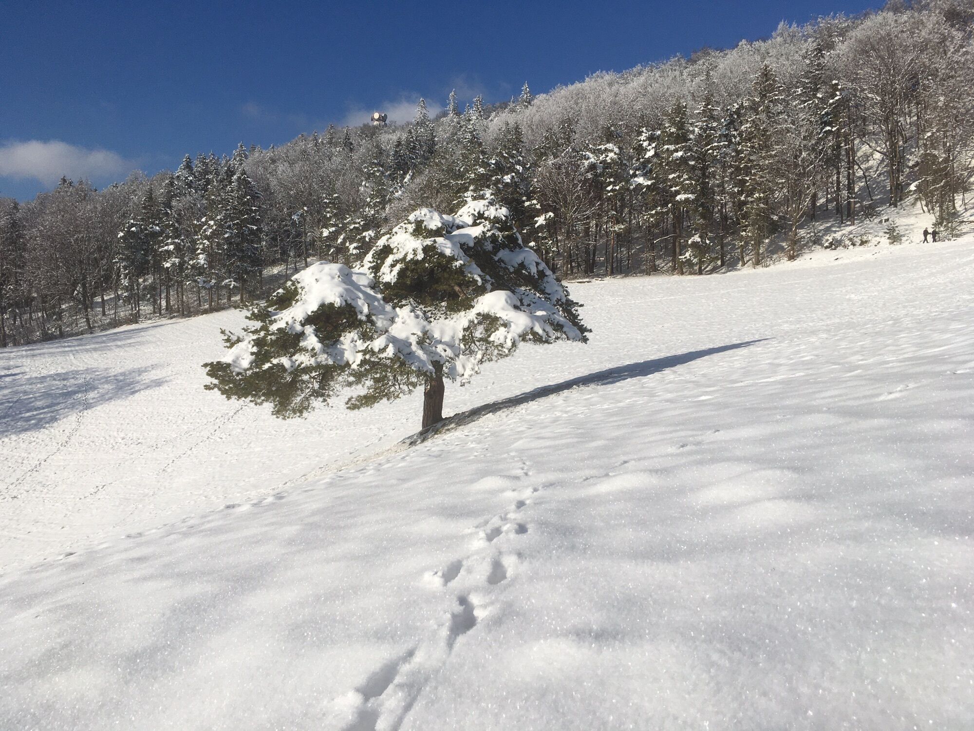
Striegüpfel (864 m)4,4 kmStrihen (866 m)5,0 km
- La mejor temporada
-
enefebmarabrmayjunjulagosepoctnovdic
- Punto álgido
- 870 m


GPS Downloads


Más circuitos por las regiones
-
Kanton Aargau
1492
-
Fricktal
854
-
Küttigen
264