© Schilcherland Steiermark - Nora Ruhri

© Südsteiermark - Nora Ruhri
- Breve descripción
-
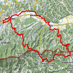
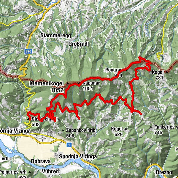
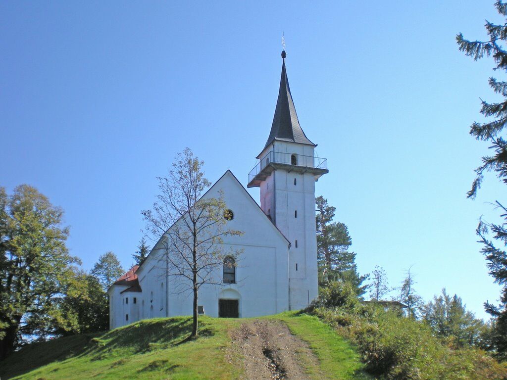
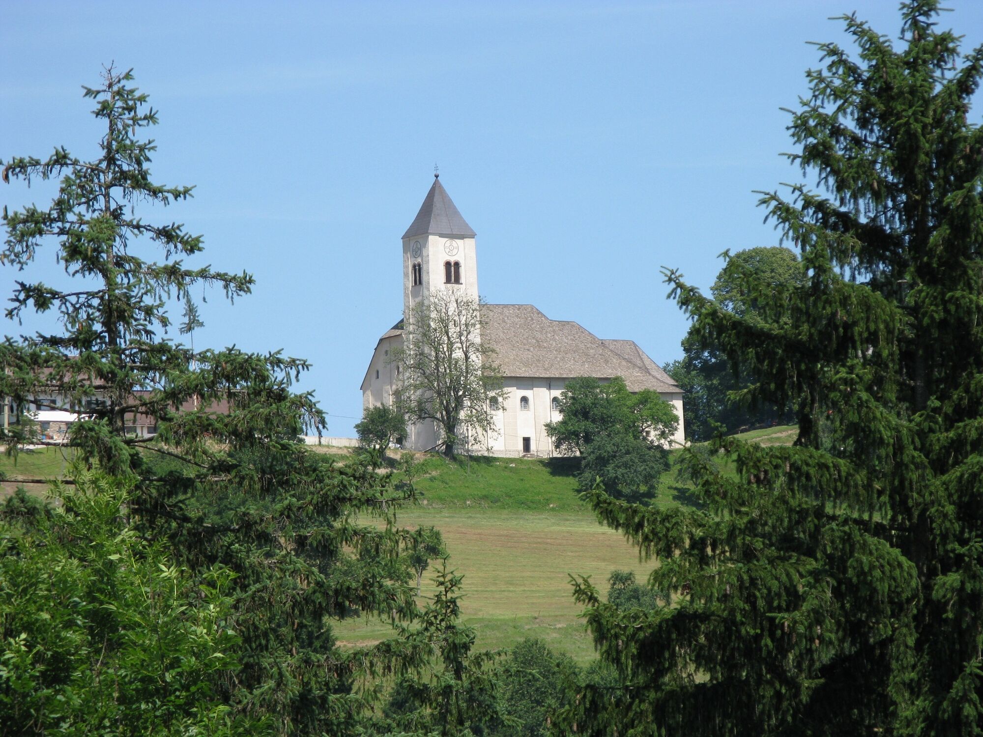
Strecke: 36km Fahrtzeit : 3 Stunden Höhenmeter: 950m Schwierigkeit: mittel Kondition: 3 von 5 Panorama: 4 von 5 Beste Jahreszeit: März bis Oktober Beschaffenheit: 30% Asphalt, 50% Schotter, 20% Waldweg Sehenswürdigkeiten: Kapunar, Kirche St. Pongratzen, Remsnik und Kirche Heiliger Jurij, Kirche Heiliger Janez, Zupank
- Dificultad
-
medio
- Valoración
-
- Ruta
-
Kapunar (1.051 m)7,4 kmPongrac (994 m)10,6 kmSt. Pongratzen (900 m)11,5 kmSankt Pongratzen11,6 kmPongratzen12,0 kmPodškanov hrib (783 m)13,4 kmRemšnik18,5 kmSveti Janez26,5 km
- La mejor temporada
-
enefebmarabrmayjunjulagosepoctnovdic
- Punto álgido
- 1.007 m
- Punto final
-
Radlje ob Dravi
- Perfil alto
-
 © outdooractive.com
-

-
AutorLa gira Aufstieg auf St. Pongratzen es utilizado por outdooractive.com proporcionado.
GPS Downloads


Información general
Punto de avituallamiento
Vistas panorámicas
Más circuitos por las regiones
-
Südsteiermark
137
-
Koroška
55
-
Radlje ob Dravi
47