


- Breve descripción
-
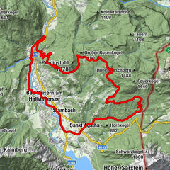
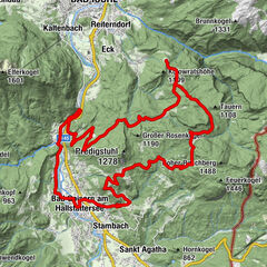
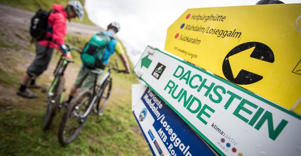
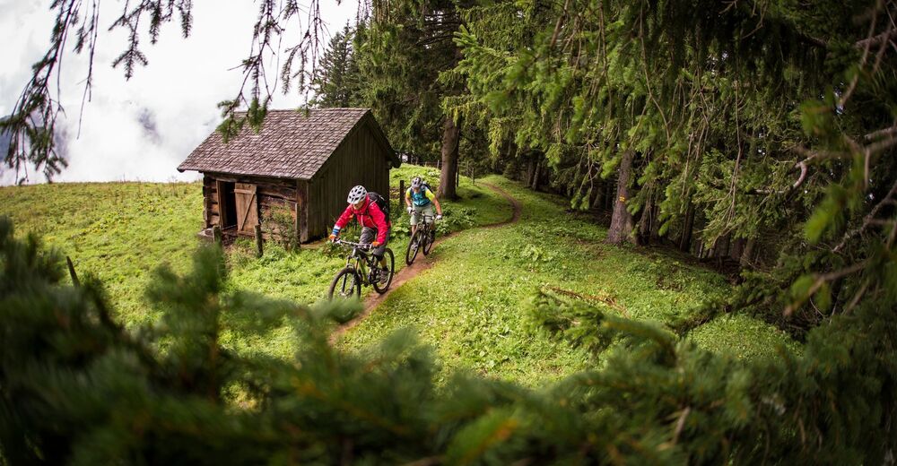
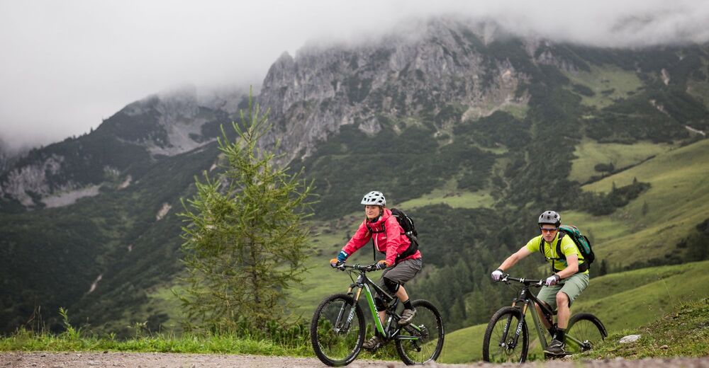
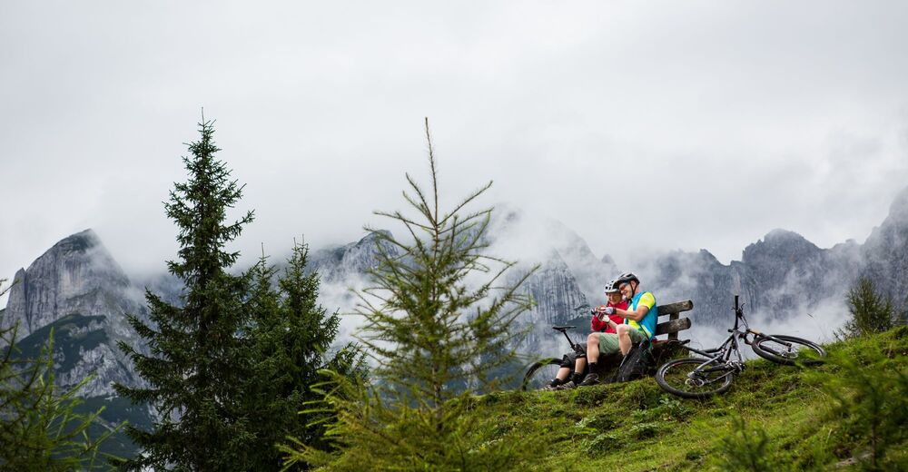
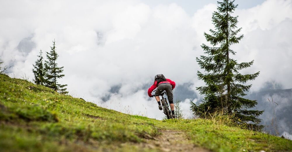
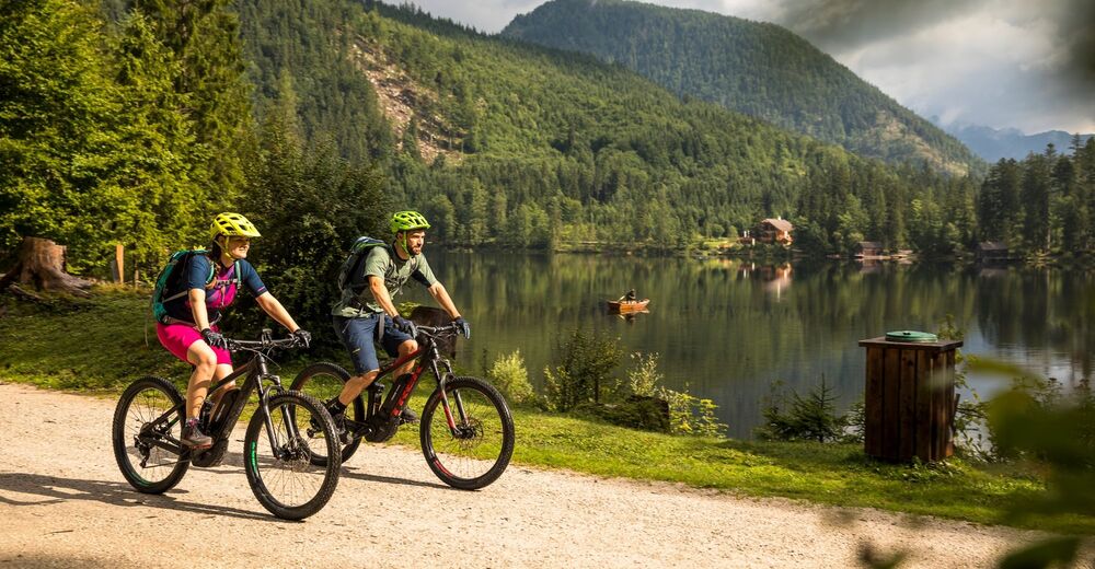
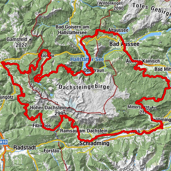
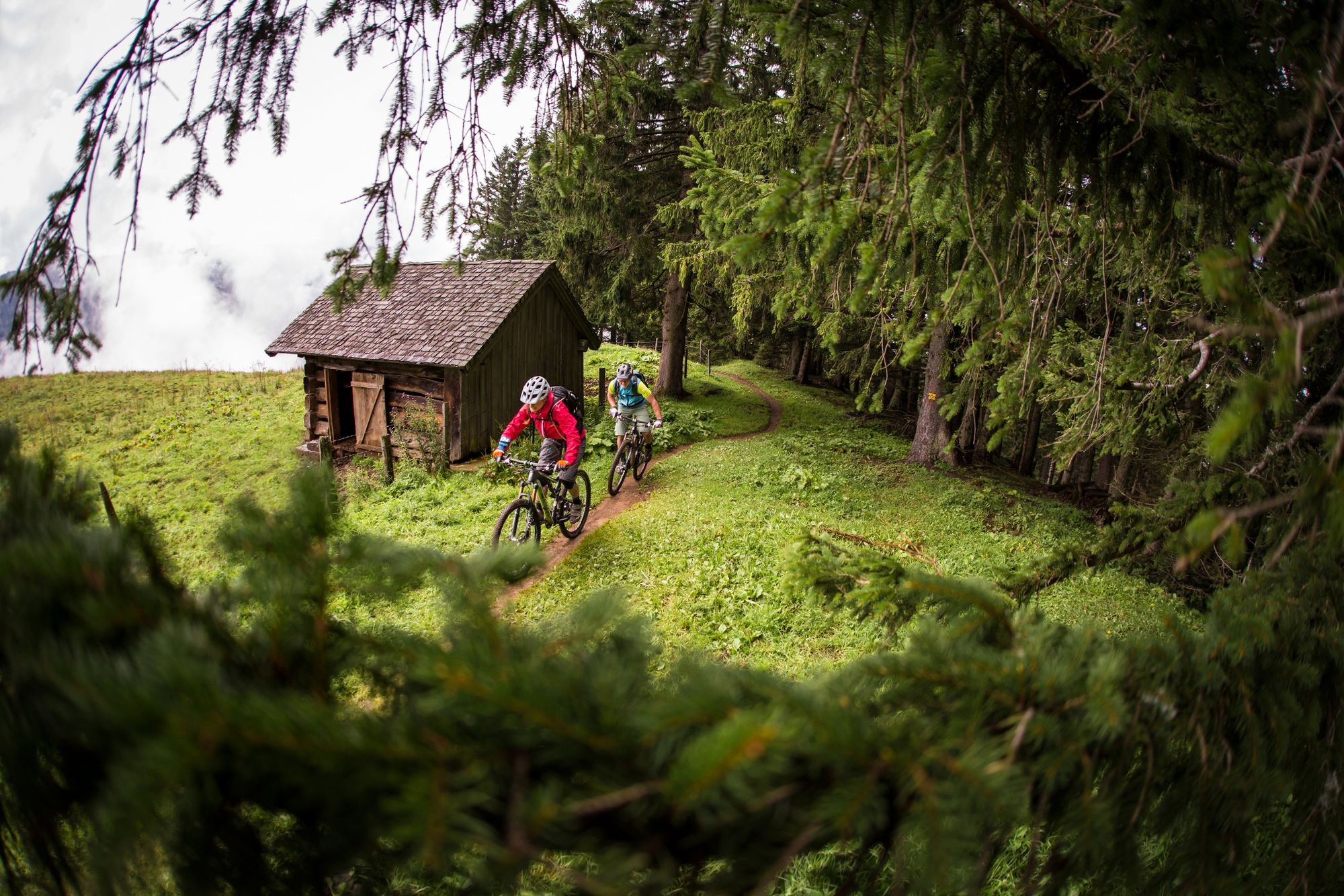
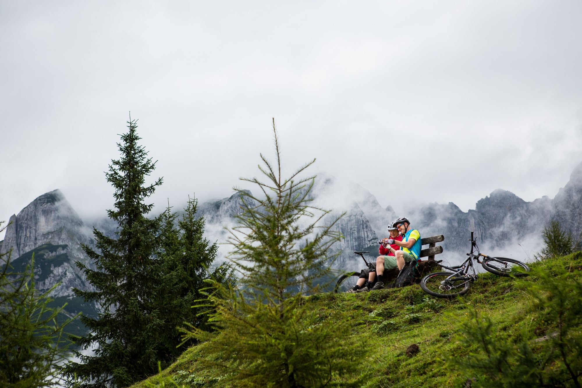
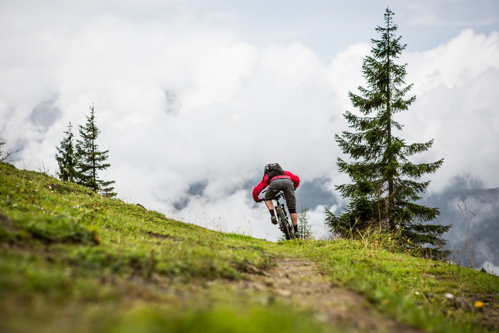
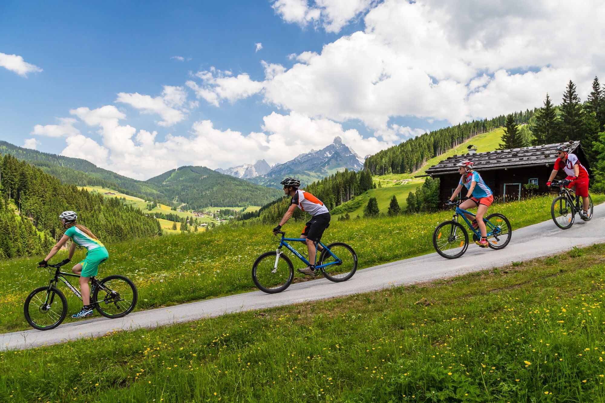
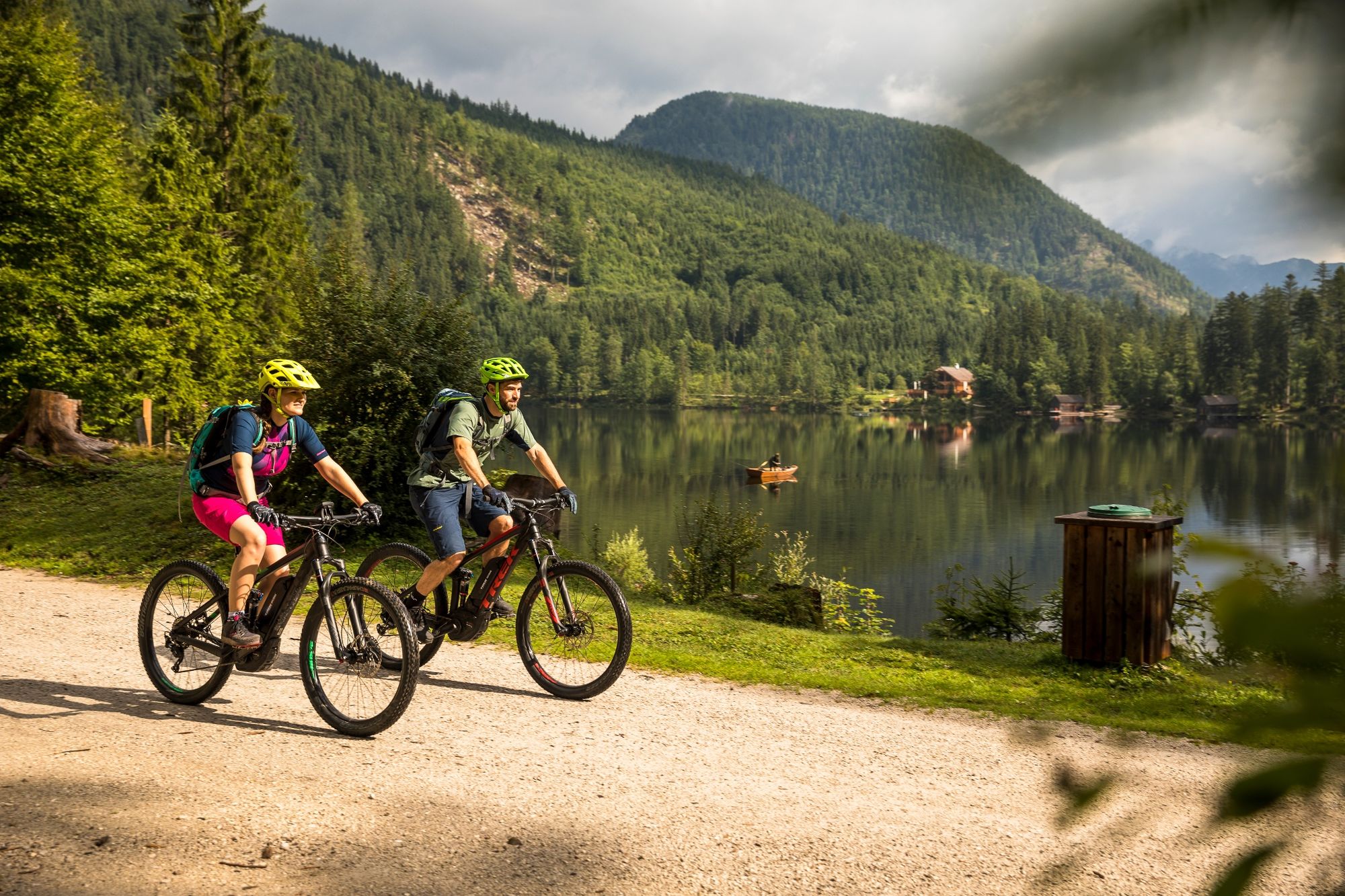
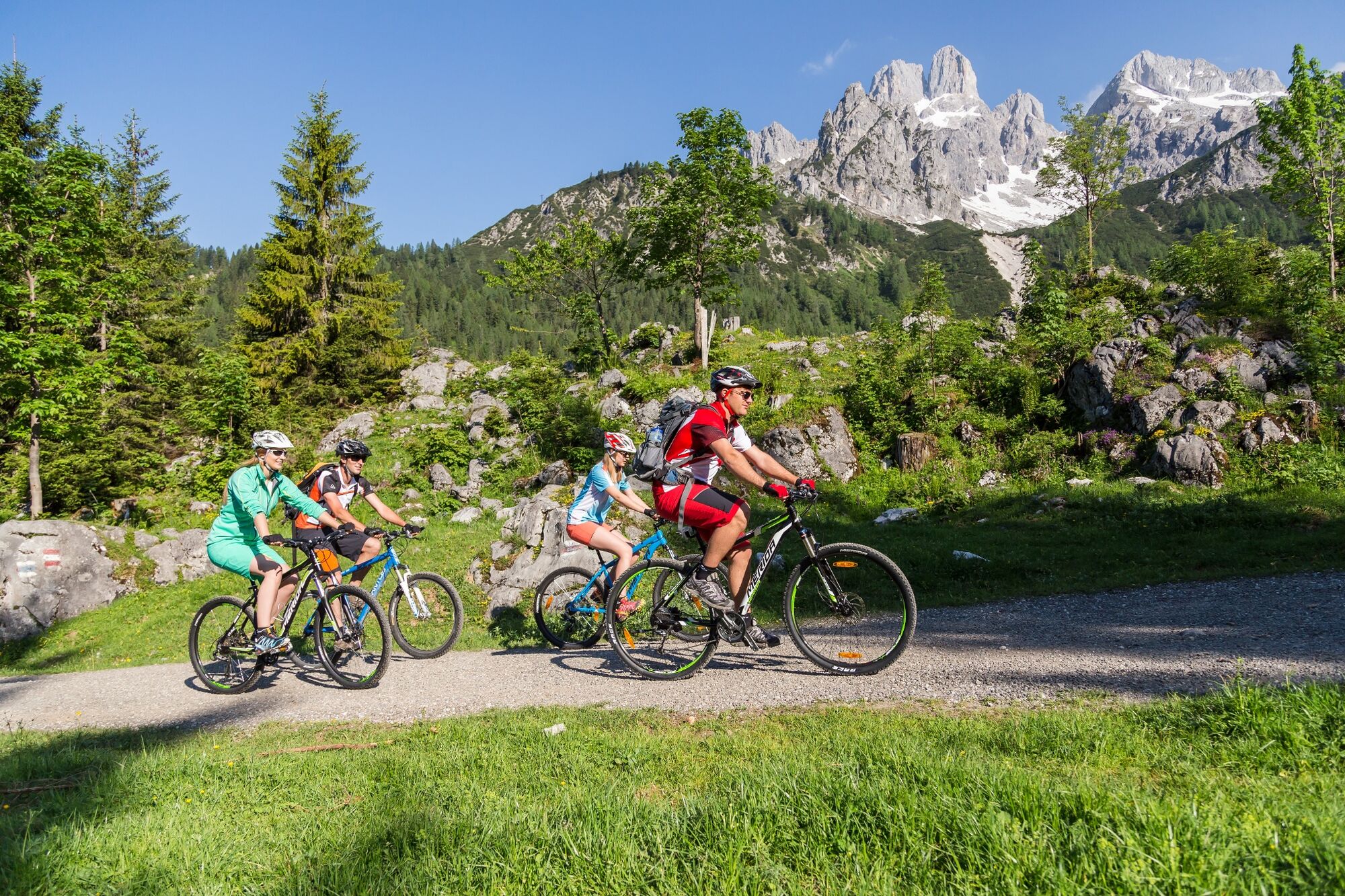
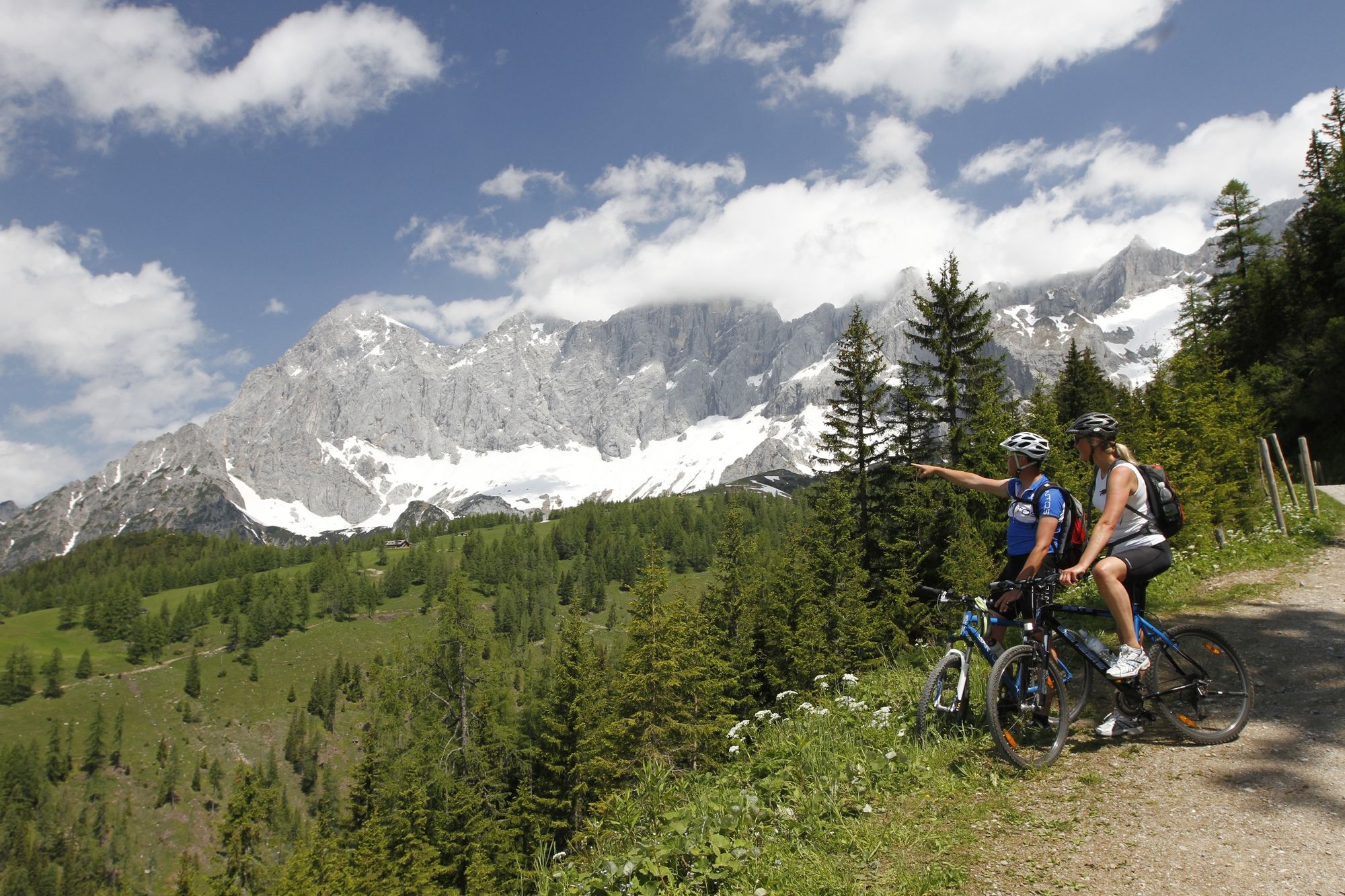
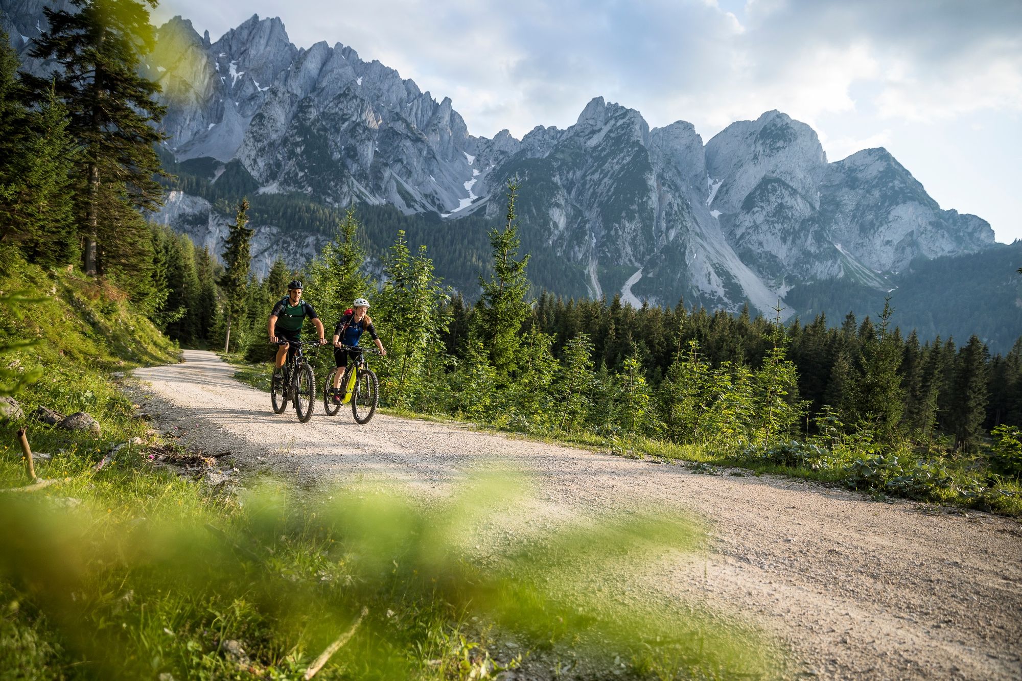
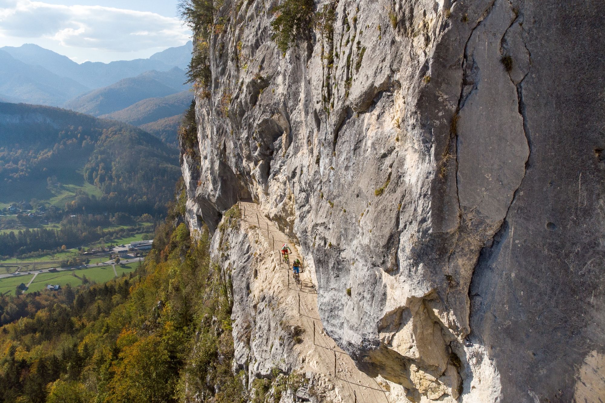
The ideal introduction to the adventure MehrtagestourenIm clockwise around the imposing Dachstein plateau: from the Salzkammergut into Auseerland, over the Viehbergalm into the Enns Valley, up to Ramsau and the tourism region Tennengau back to Hallstättersee.Einigigiges experience in three stages.173 kilometers - 4600 vertical meters
- Dificultad
-
difícil
- Valoración
-
- Ruta
-
Filzmoos1,3 kmMarcheggsattel (1.220 m)5,0 kmNeuberg9,6 kmLangeggsattel (1.313 m)13,1 kmSchichl17,7 kmGasthaus Schichreit18,3 kmNeuhaus18,6 kmAlpendorf Dachstein West24,6 kmSalfelden30,8 kmLeitenhaus33,0 kmGschwandtleiten35,6 kmHallseiten35,9 kmReit36,8 kmSeetratten37,2 kmGschwandt37,6 kmKlockaualm40,3 kmZeishofalm47,6 kmRamsau59,8 kmGosau60,0 kmMittertal62,9 kmKranabet63,7 kmHintertal64,9 kmGasthof Gosauschmied65,5 kmGasthof Gosausee69,0 kmGrub-Alm77,7 kmSträhnhag (1.502 m)82,8 kmWaldbachstrub89,7 kmWaldbachstrub90,1 kmGasthof Hirlatz92,6 kmLahn93,2 kmKreuzwegkapelle II93,2 kmKreuzwegkapelle III93,3 kmKreuzwegkapelle IV93,5 kmHirschbrunn94,4 kmKessel94,9 kmWinkl96,6 kmObertraun98,2 kmPanoramablick auf Hallstatt99,8 kmSeeraunzn103,5 kmSankt Agatha108,3 kmWaldgraben117,1 kmSchloßwiese118,4 kmKesselgrube121,0 kmPuchen121,1 kmKendl121,1 kmArzleiten121,8 kmIm Nöckl122,1 kmBad Aussee (659 m)124,6 kmKrautberg124,9 kmWegkapelle Hugo-Cordignano-Promenade125,1 kmEvang. Pfarrkirche A.B. Jesus-Kirche125,3 kmEselsbach125,4 kmSportstüberl, Pizzeria125,9 kmUnterkainisch126,1 kmKalsswirt126,4 kmSießreith126,7 kmÄußere Kainisch132,1 kmKohlröserlhütte134,2 kmRassenbach155,9 kmSchneegrube157,1 kmSeeboden167,3 kmWinkl171,3 kmMariä Himmelfahrt173,3 kmGröbming173,3 kmThalhamm175,6 kmPruggern179,0 kmAich183,7 kmBärenwirt183,9 kmSeestüberl184,0 kmWeißenbach187,6 kmLeiten195,0 kmGasthof Pension Adlerhorst196,7 kmSchladming (745 m)196,7 kmStockerwirt199,0 kmVorberg201,0 kmAlpengasthaus Edelbrunn203,6 kmDachsteinhaus204,2 kmBrandalm206,2 kmNeustattalm208,7 kmJagahofalm208,7 kmHachau216,9 km
- La mejor temporada
-
enefebmarabrmayjunjulagosepoctnovdic
- Punto álgido
- 1.657 m
- Punto final
-
St. Agatha (Bad Goisern) oder aber auch Etappenort Annaberg im Lammertal
- Perfil alto
-


-

-
AutorLa gira Dachsteinrunde Classic es utilizado por outdooractive.com proporcionado.
GPS Downloads


Información general
Punto de avituallamiento
Secreto
Vistas panorámicas
Más circuitos por las regiones