© Tourenportal Berchtesgadener Land - Bergerlebnis Berchtesgaden

© Tourenportal Berchtesgadener Land - Bergerlebnis Berchtesgaden

© Tourenportal Berchtesgadener Land - Bergerlebnis Berchtesgaden

© Tourenportal Berchtesgadener Land - Bergerlebnis Berchtesgaden

© Tourenportal Berchtesgadener Land - Bergerlebnis Berchtesgaden

© Tourenportal Berchtesgadener Land - BGLT
Datos del tour
14,74km
598
- 1.273m
663hm
636hm
06:00h
- Breve descripción
-
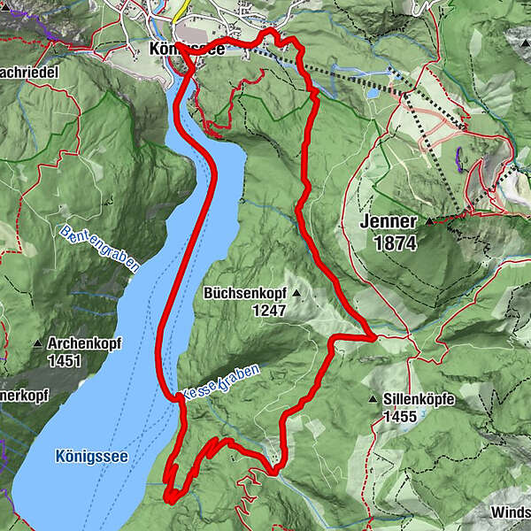
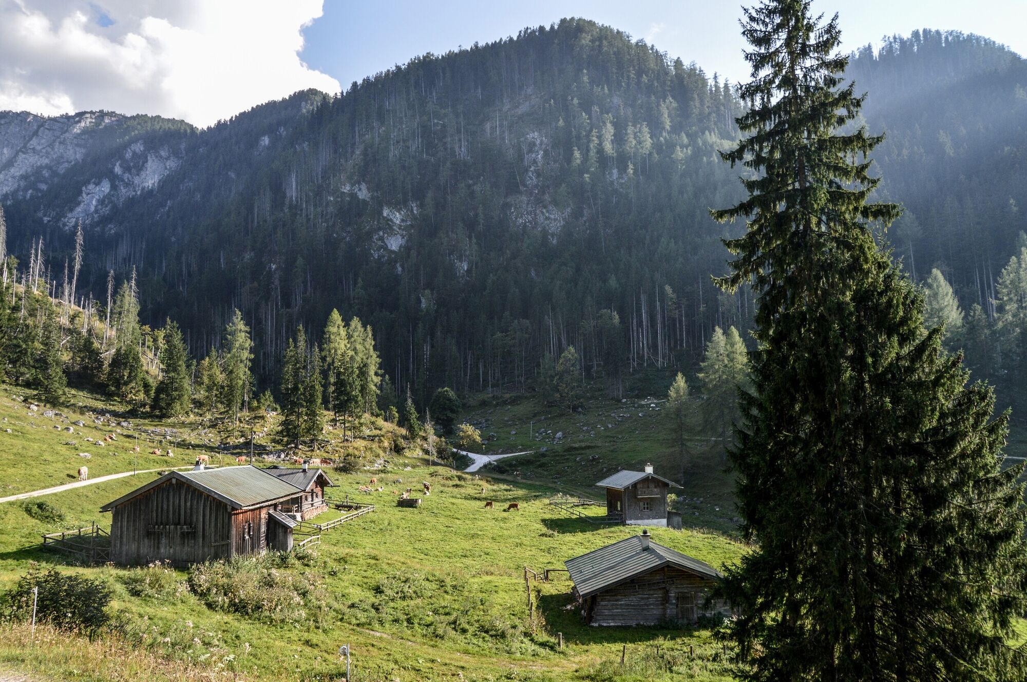
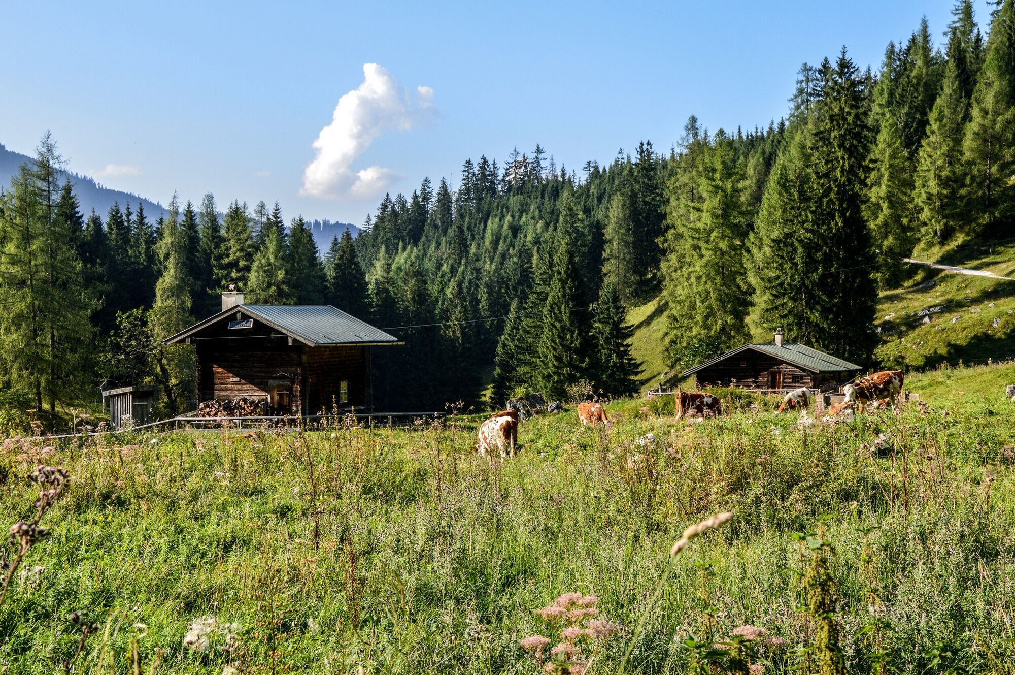
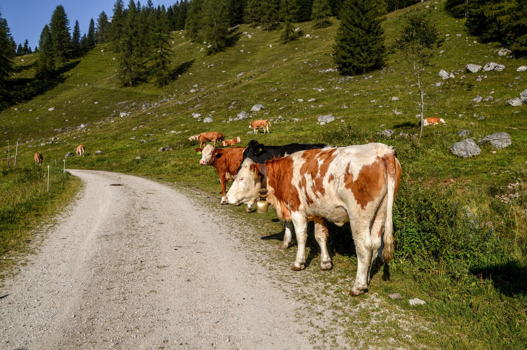
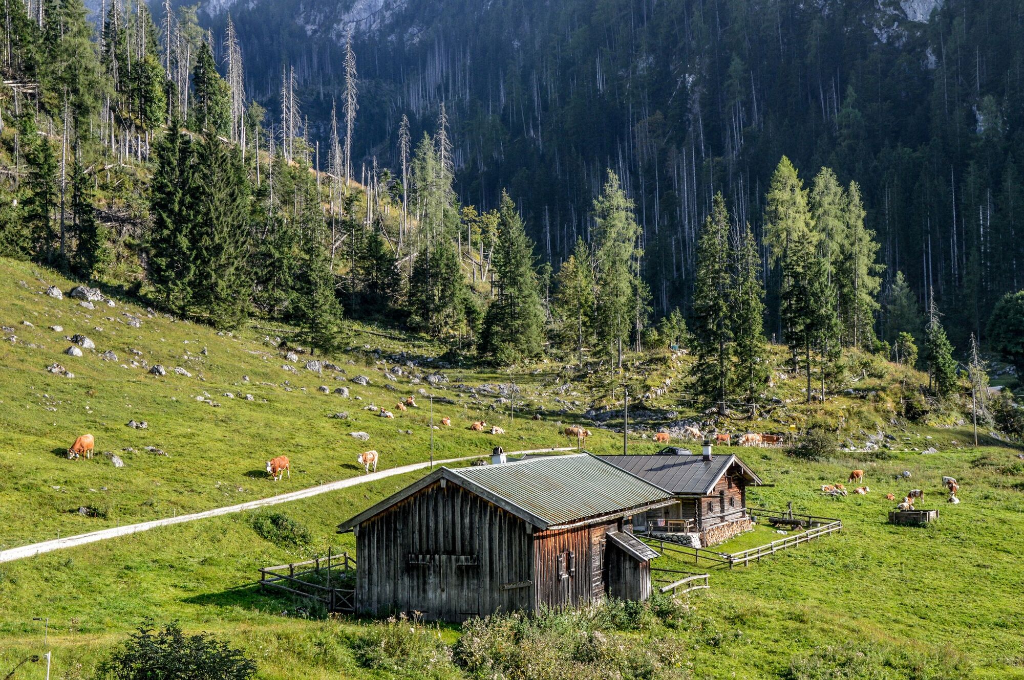
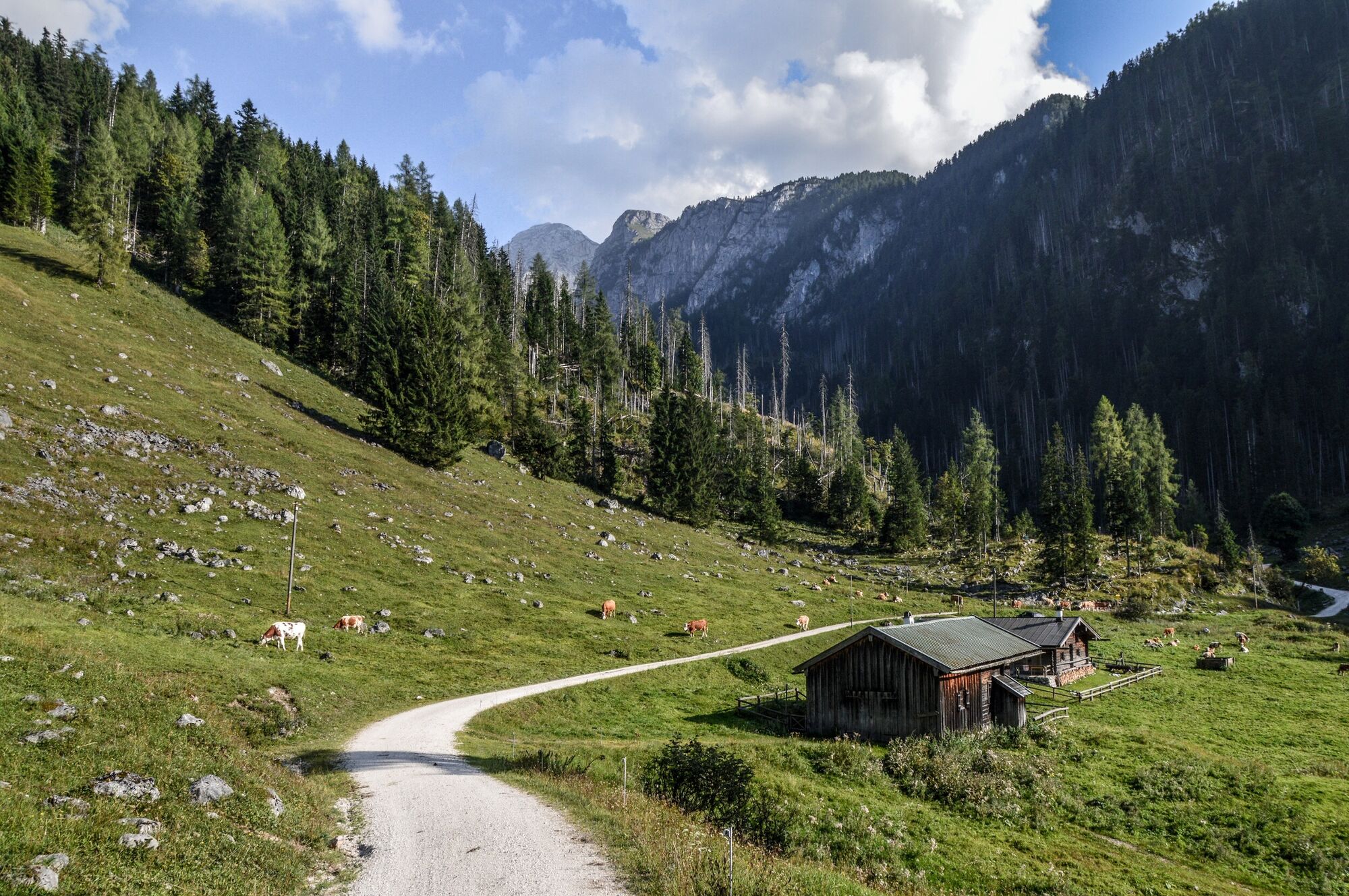
Über die Königsbachalm zur Gotzentalalm, Abstieg über Kesselsteig nach Kessel am Königsssee
- Dificultad
-
difícil
- Valoración
-
- Ruta
-
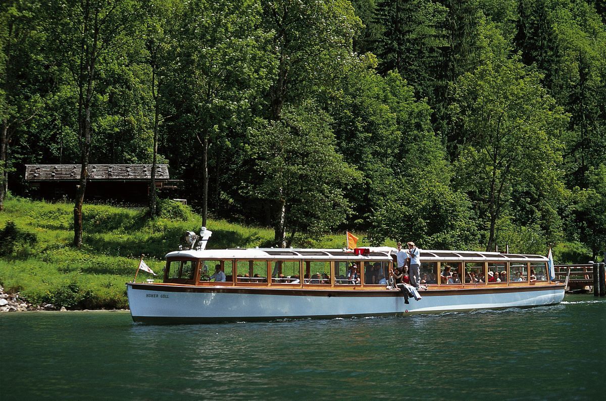
Königssee0,1 kmKönigsbachalm4,7 kmKessel10,8 kmKönigssee Seelände14,3 kmKönigssee14,5 km
- La mejor temporada
-
enefebmarabrmayjunjulagosepoctnovdic
- Punto álgido
- 1.273 m
- Punto final
-
Schifffahrt Königssee
- Perfil alto
-
 © outdooractive.com
-

-
AutorLa gira Königsbachalm - Gotzentalalm es utilizado por outdooractive.com proporcionado.
GPS Downloads


Información general
Punto de avituallamiento
Vistas panorámicas
Más circuitos por las regiones
-
Berchtesgadener Land
1580
-
Schönau am Königssee
456